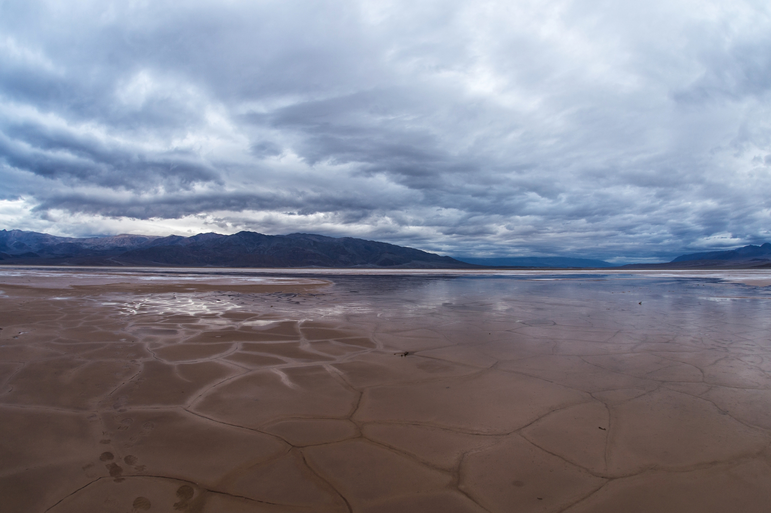
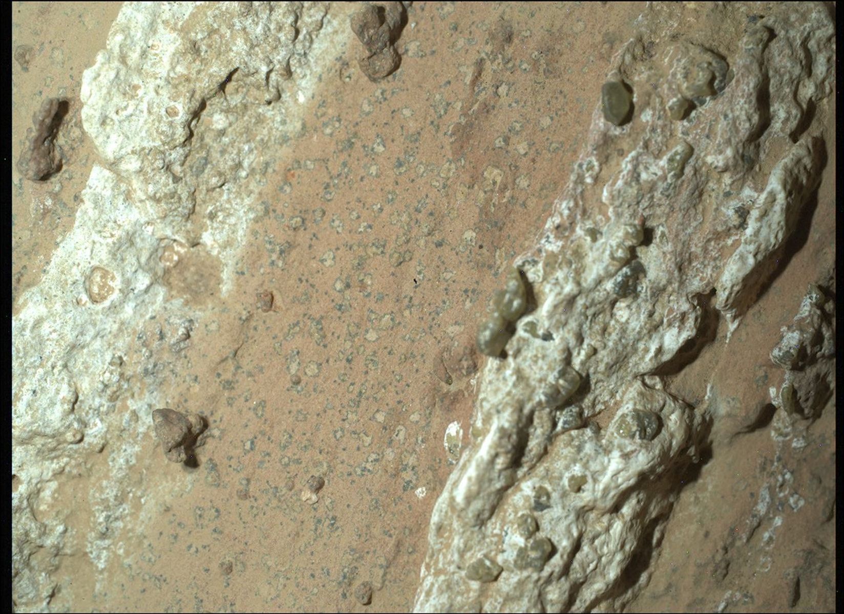
We are packing it all in on sol 3163: contact science, targeted science, and a short bump to what we hope will be our next drill campaign location (in the direction of the attached image).
We are packing it all in on sol 3163: contact science, targeted science, and a short bump to what we hope will be our next drill campaign location (in the direction of the attached image).
We start off with some contact science. Despite having a lot of sand in our workspace, we found one piece of bedrock that we can DRT and measure its composition with APXS. As a Rover Planner today sequencing the arm activities, this target, “Gardonne,” was an interesting one because it didn’t appear in the region we cover with our standard workspace imaging, but instead was in our drive direction mosaics (both Navcam and extended Mastcam). It was also very close to being occluded by the rover’s turret when the images were taken, so we had to ask for some special products to be produced where we could see it in our 3D model of the terrain. This slab with Gardonne is fairly close to our potential drill target, and may give us some preliminary data that is relevant to the drill campaign.
After re-stowing the arm, we have a long targeted science block. We will take Mastcam mutltispectral and ChemCam on the Gardonne target. We also take Mastcam of some nearby terrain features, nearby buttes and hillsides, as well as extensive imaging of our potential drill target.
Then, we are ready to do our short, approximately 10m drive, to park for our drill campaign. The drive is a little tricky because there are several medium sized and sharp rocks that we want to avoid to prevent extra wear on the wheels. We expect our parking location to be relatively flat and at a good heading for communicating with Earth during the campaign.
On the second sol of the plan, we do a lot of our standard environment/atmospheric observations to characterize dust in the atmosphere, including Navcam dust devil survey, suprahorizon movie and a line-of-site image to the north; also we take a Mastcam basic tau. Finally, we use AEGIS to autonomously choose a science target in some Navcam images and then observe it with ChemCam LIBS. Later in the afternoon, we take another Mastcam tau and a Navcam movie to look for clouds.
Written by Ashley Stroupe, Mission Operations Engineer at NASA’s Jet Propulsion Laboratory


