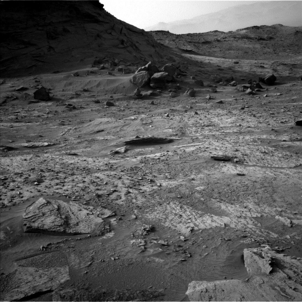
We are continuing our traverse towards the "Greenheugh pediment." We passed along this area on our detour to The Prow, and our sedimentologists have a long list of imaging wishes, features which caught their eyes on the initial pass through and which we now get the chance to really examine in detail as we skirt along the base of the pediment. From today's vantage point, Mastcam and ChemCam are imaging the buttes and hills around us, Mastcam focusing on the "Blackcraig" and "Maringma" buttes, and ChemCam taking long distance imagery of the pediment.
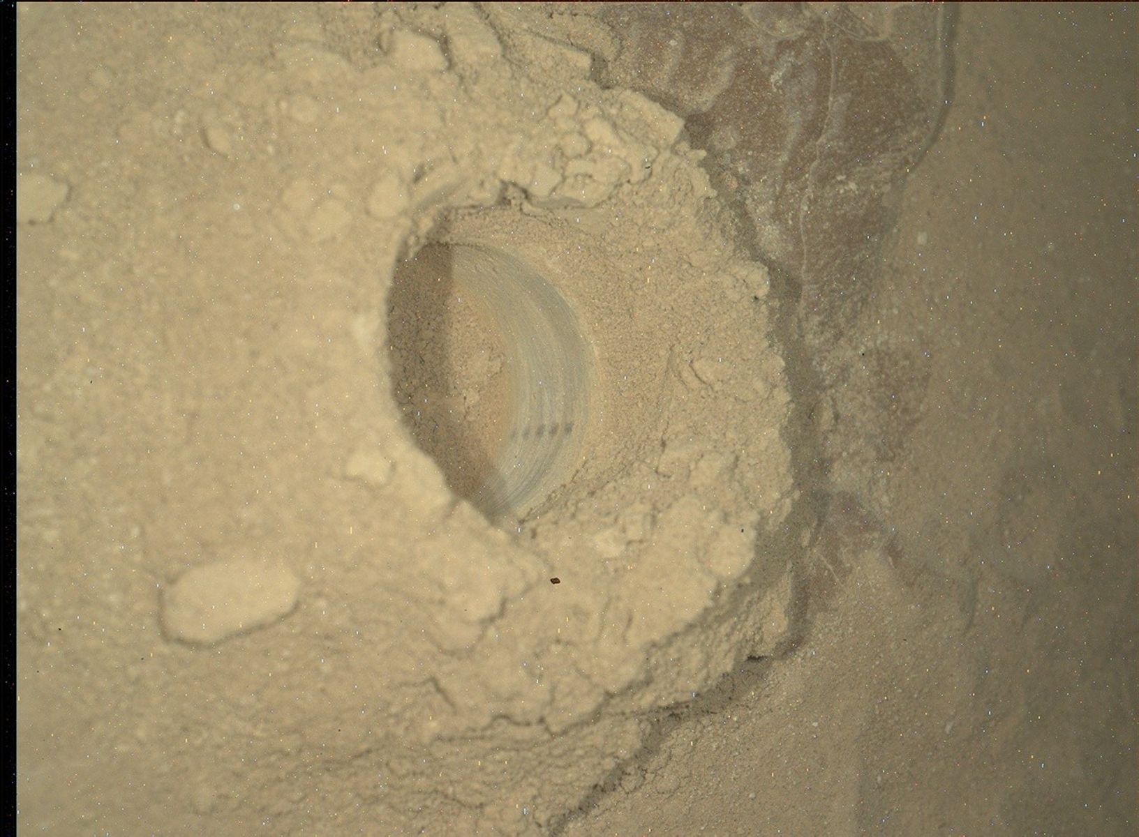
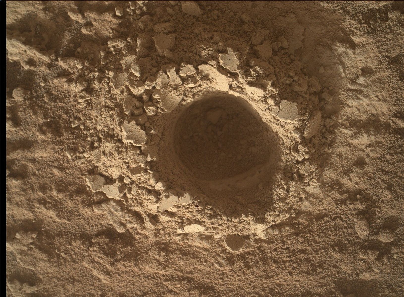
We are also adding to our geochemical analyses along here too. APXS and MAHLI will analyze the bedrock target "Tantallon Castle" and ChemCam will analyze the target "Corpach Wreck."
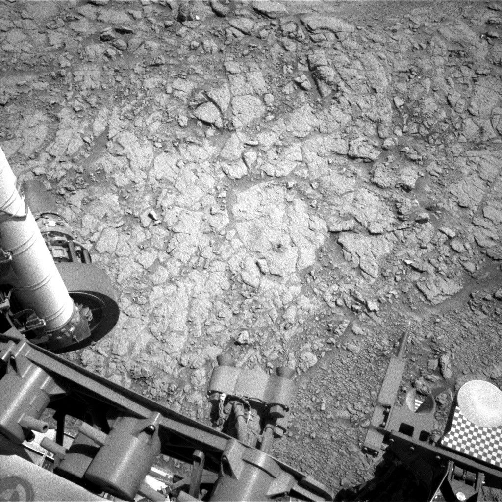
Our past couple of drives have been in the order of 50-60 metres as we retraced our steps over known terrain, but as we get closer to the pediment and the steep climb up, our drives will slow down. Today's all star, all female, rover planner team planned a 24 metre drive - shorter than recent drives, but which will take over an hour as we slowly pick our way forward!
Written by Catherine O'Connell-Cooper, Planetary Geologist at University of New Brunswick


