![Request for Information – Potential [Placeholder for Prize]](https://assets.science.nasa.gov/dynamicimage/assets/science/missions/a-step/FFR_Earth_Background_20251120%20.png?w=1024)


Written by Lucy Lim, Planetary Scientist at NASA's Goddard Space Flight Center
Earth planning date: Friday, Feb. 28, 2025
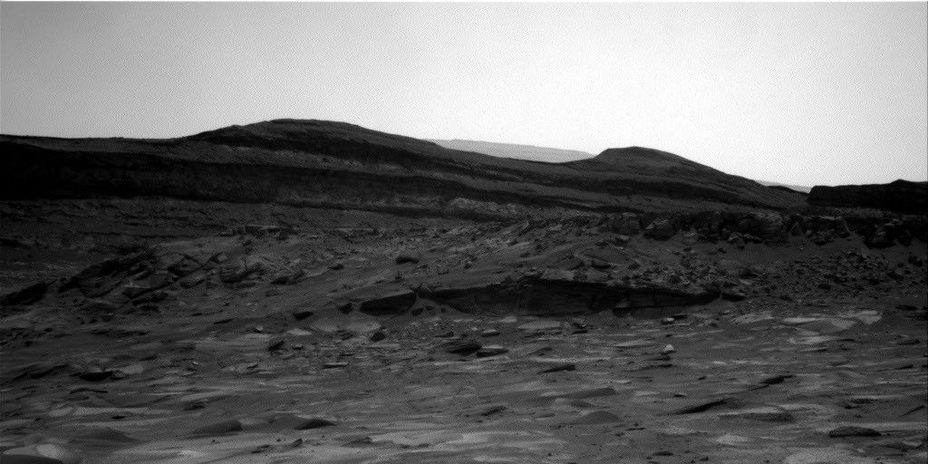
Curiosity continues to climb roughly southward through the layered sulfate strata toward the “boxwork” features. Although the previous plan's drive successfully advanced the rover roughly 21 meters southward (about 69 feet), the drive had ended with an awkwardly perched wheel. Because of this, unfortunately it was considered too risky to unstow the arm for contact science in this plan.
Nevertheless the team made the most of the imaging and LIBS observations available from the rover's current location. A large Mastcam mosaic was planned on the nearby Texoli butte to capture its sedimentary structures from the rover’s new perspective. Toward the west, the boxwork strata exposed on “Gould Mesa” were observed using the ChemCam long-distance imaging capability, with Mastcam providing color context.
Several near-field Mastcam mosaics also captured some bedding and diagenetic structure in the nearby blocks as well as some modern aeolian troughs in the finer-grained material around them.
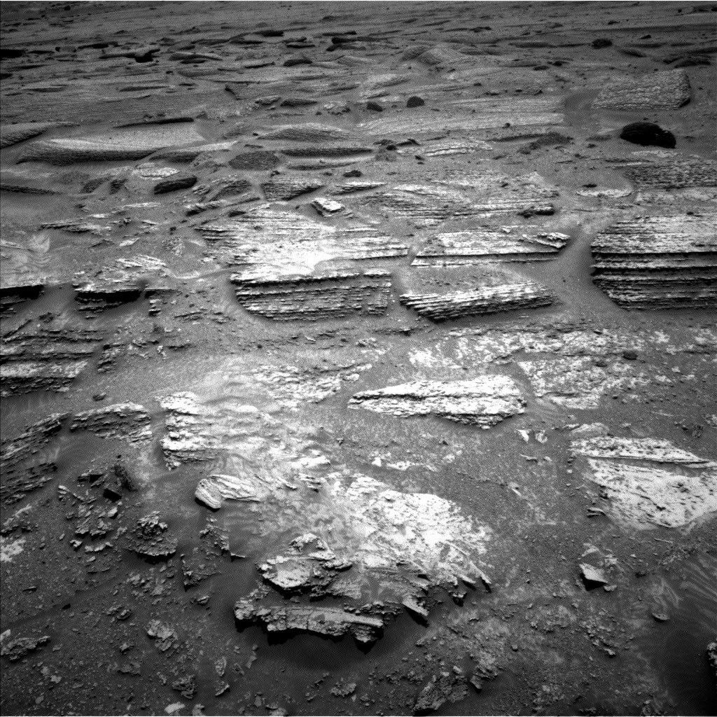
On the nearby blocks, two representative local blocks (“Gabrelino Trail” and “Sespe Creek”) are to be “zapped” with the ChemCam laser to give us LIBS (laser-induced breakdown spectroscopy) compositional measurements. The original Gabrelino Trail on Earth near the JPL campus is currently closed due to damage from the recent wildfires.
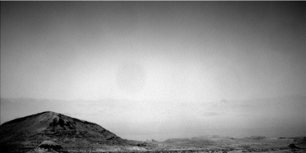
Meanwhile, the season on Mars (L_s ~ 50, or a solar longitude of about 50 degrees, heading into southern winter) has brought with it the opportunity to observe some recurring atmospheric phenomena: It's aphelion cloud belt season, as well as Hadley cell transition season, during which a more southerly air mass crosses over Gale Crater.
This plan includes an APXS atmospheric observation (no arm movement required!) to measure argon and a ChemCam passive-sky observation to measure O2, which is a small (less than 1%) but measurable component in the Martian atmosphere. Dedicated cloud altitude observations, a phase function sky survey, and zenith and suprahorizon movies have also been included in the plan to characterize the clouds. As usual, the rover also continues to monitor the modern environment with measurements of atmospheric opacity via imaging, temperature, and humidity with REMS, and the local neutron environment with DAN.