![Request for Information – Potential [Placeholder for Prize]](https://assets.science.nasa.gov/dynamicimage/assets/science/psd/solar/2023/09/s/solarsystem_0.jpg?w=1024)


Written by Scott VanBommel, Planetary Scientist at Washington University
Earth planning date: Monday, March 3, 2025
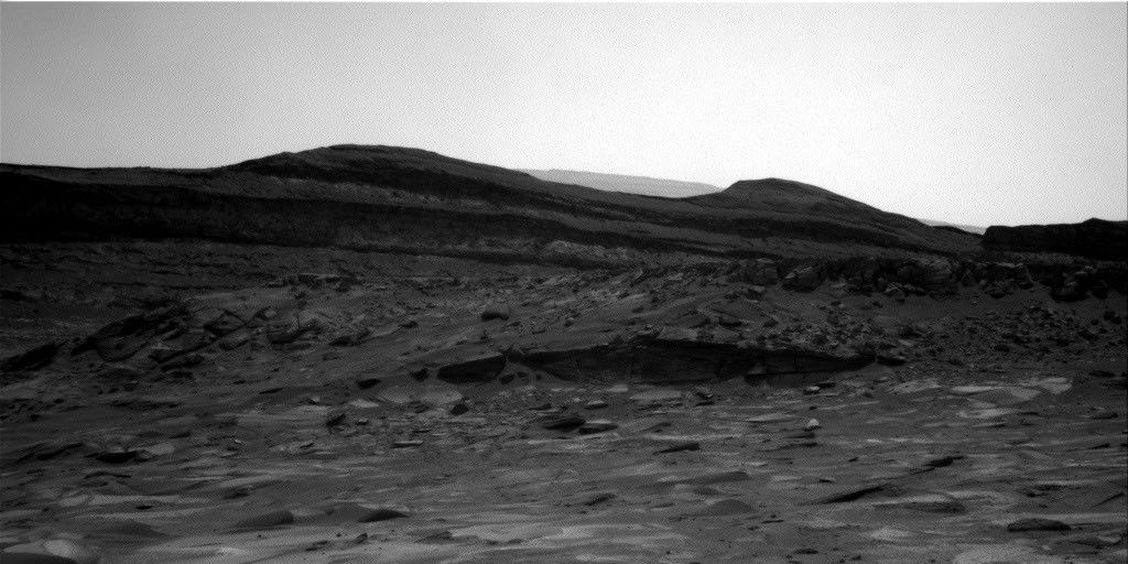
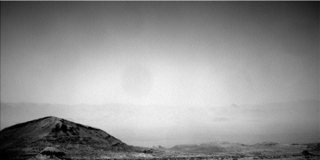
Curiosity continued steady progress through the upper sulfate unit and toward its next major science waypoint: the boxwork structures. Our rover is currently driving south through a local canyon between “Texoli” and “Gould Mesa.” This route may expose the same rock layers observed while climbing along the eastern margin of the Gediz Vallis channel, prompting several science activities in today’s plan. With winter still gripping Gale crater and limiting the power available for science, the team carefully balanced a number of priorities.
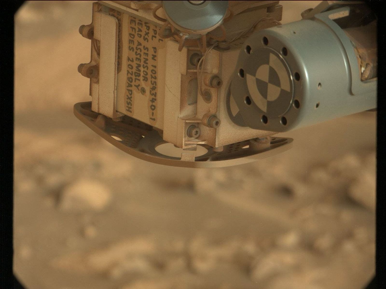
The weekend’s drive positioned the rover within reach of light-toned laminated bedrock and gray float rock. We kicked off our two-sol plan by removing dust on a representative bedrock target, “Ramona Trail,” before analyzing with APXS and imaging with MAHLI. ChemCam acquired compositional analyses on a laminated gray float rock, “Josephine Peak,” in addition to long-distance images of Texoli. Mastcam documented key features, capturing images of Josephine Peak, Texoli, “Gobblers Knob,” and “Fort Tejon.” In addition to these science-driven images, Mastcam also acquired two images of APXS before a planned drive of about 21 meters (about 69 feet).
As Curiosity continues toward the boxwork structures, the intricate patterns we observe will provide valuable clues about the history of Mars. While the Mastcam images acquired today of the APXS sensor head won’t directly contribute to the boxwork study, they capture a more human aspect of the mission. With each “APXS horseshoe” image, such as the one featured in this blog from sol 4134, hand-written markings on the APXS sensor head appear alongside Martian terrain, a reminder that this incredible journey is driven by the human touch of a dedicated team on Earth who designed, built, and continue to operate this remarkable spacecraft.