


Landsat 1 and 2
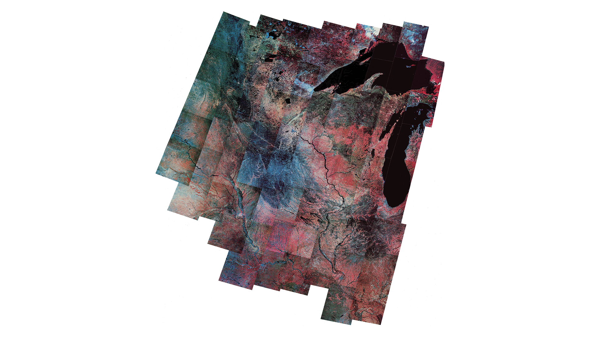
Hand-laid mosaic of 75 false color photos derived from digital MSS data over Minnesota, Michigan’s Upper Peninsula, Wisconsin, Illinois, and Iowa, with Lake Superior at the top and Lake Michigan at right. Data acquired by Landsats 1 and 2, April– June, 1973–1978.
Image Credit: USGS EROS
- X
https://science.nasa.gov/image-detail/amf-3ab96ec5-bff6-4f06-a0e8-bb16c8b1d81d/
Image CreditUSGS EROS
Size1920x1080px
