






![Request for Information – Potential [Placeholder for Prize]](https://assets.science.nasa.gov/dynamicimage/assets/science/psd/solar/2023/09/s/solarsystem_0.jpg?w=1024)





Revealing the Invisible
Revealing the Invisible
Visible light images can tell us a lot, but not everything. These data maps reveal lunar surface temperatures, slope and elevation, subsurface rockiness, and more.
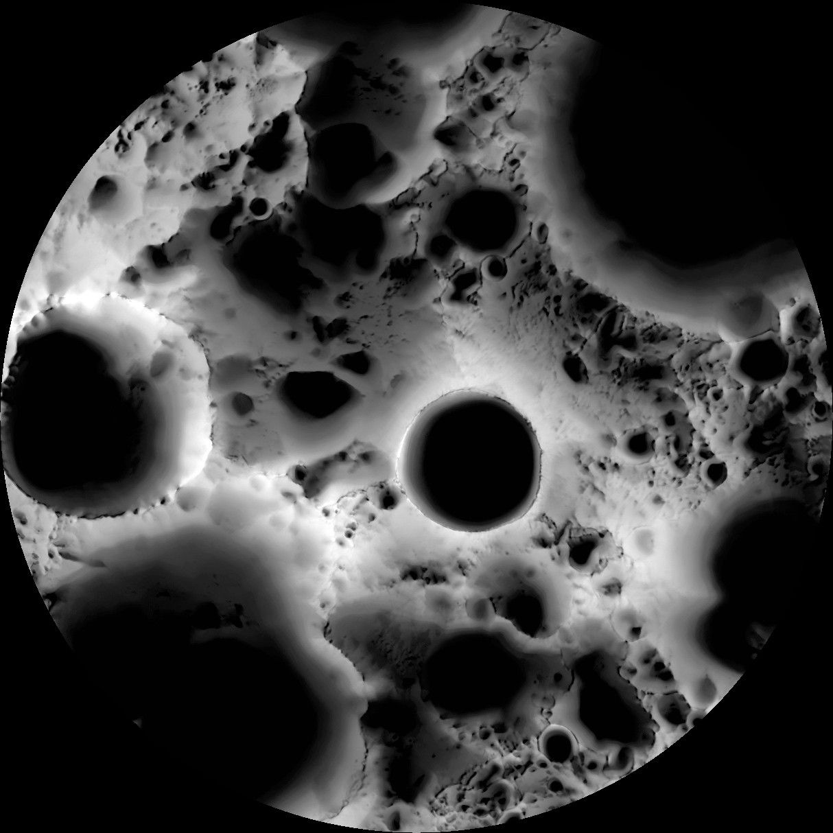
Illumination Map of the Moon's South Pole
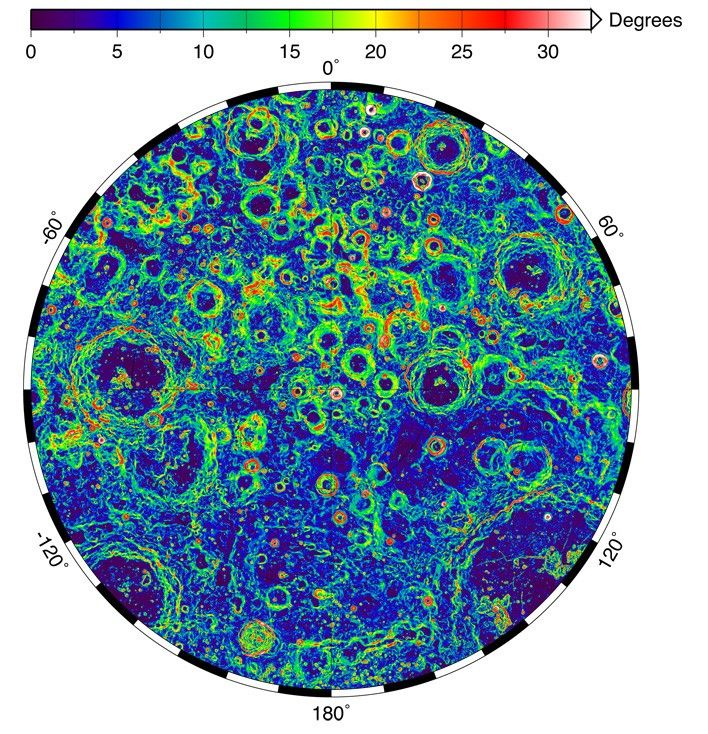
Slope Map of the Lunar South Pole
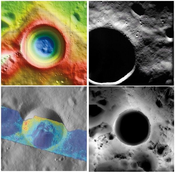
Faces of Shackleton
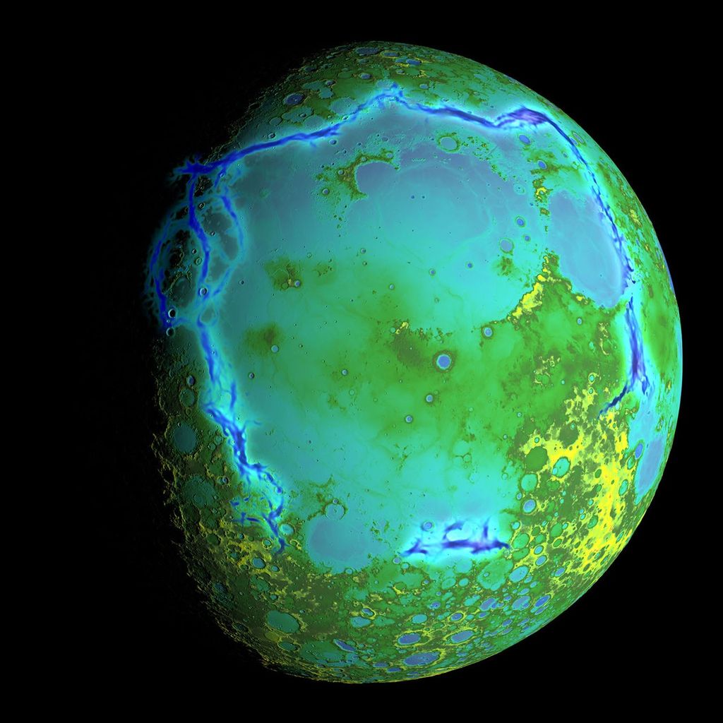
Gravity Gradients Frame Oceanus Procellarum
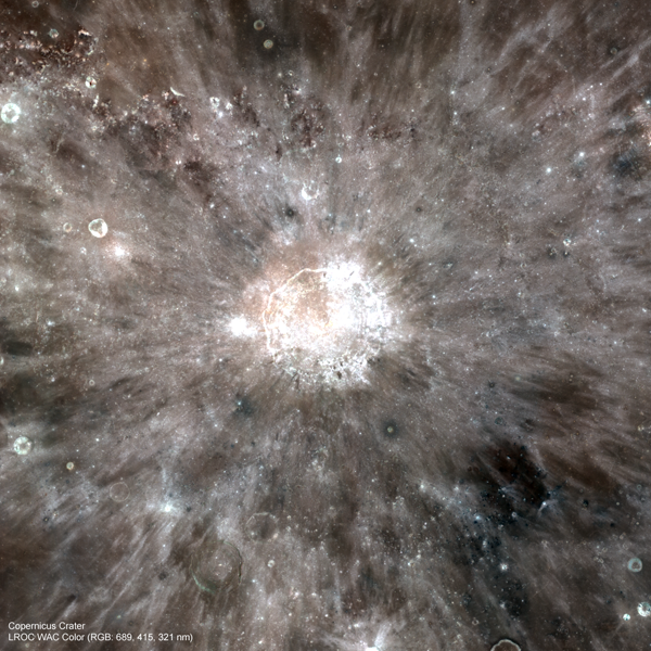
Copernicus in Color (LRO)
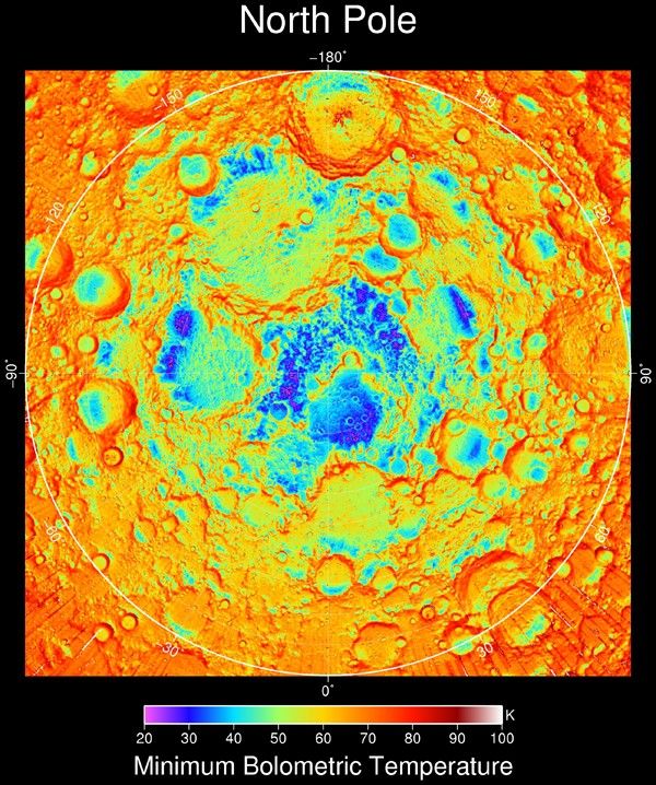
Nighttime Temperatures at the Lunar North Pole (LRO)
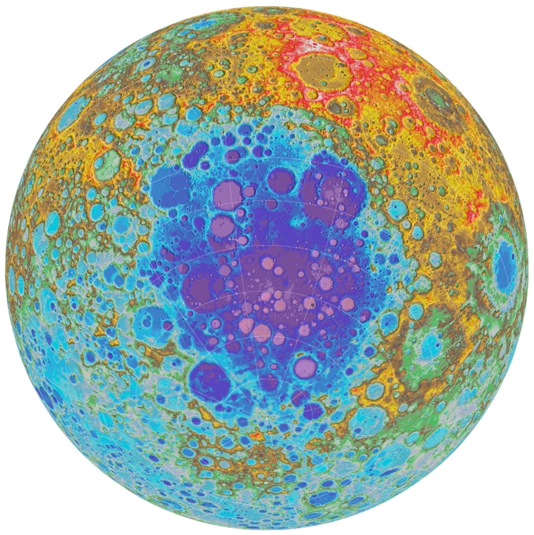
Topographic Map of the Moon's South Polar Region (LRO)
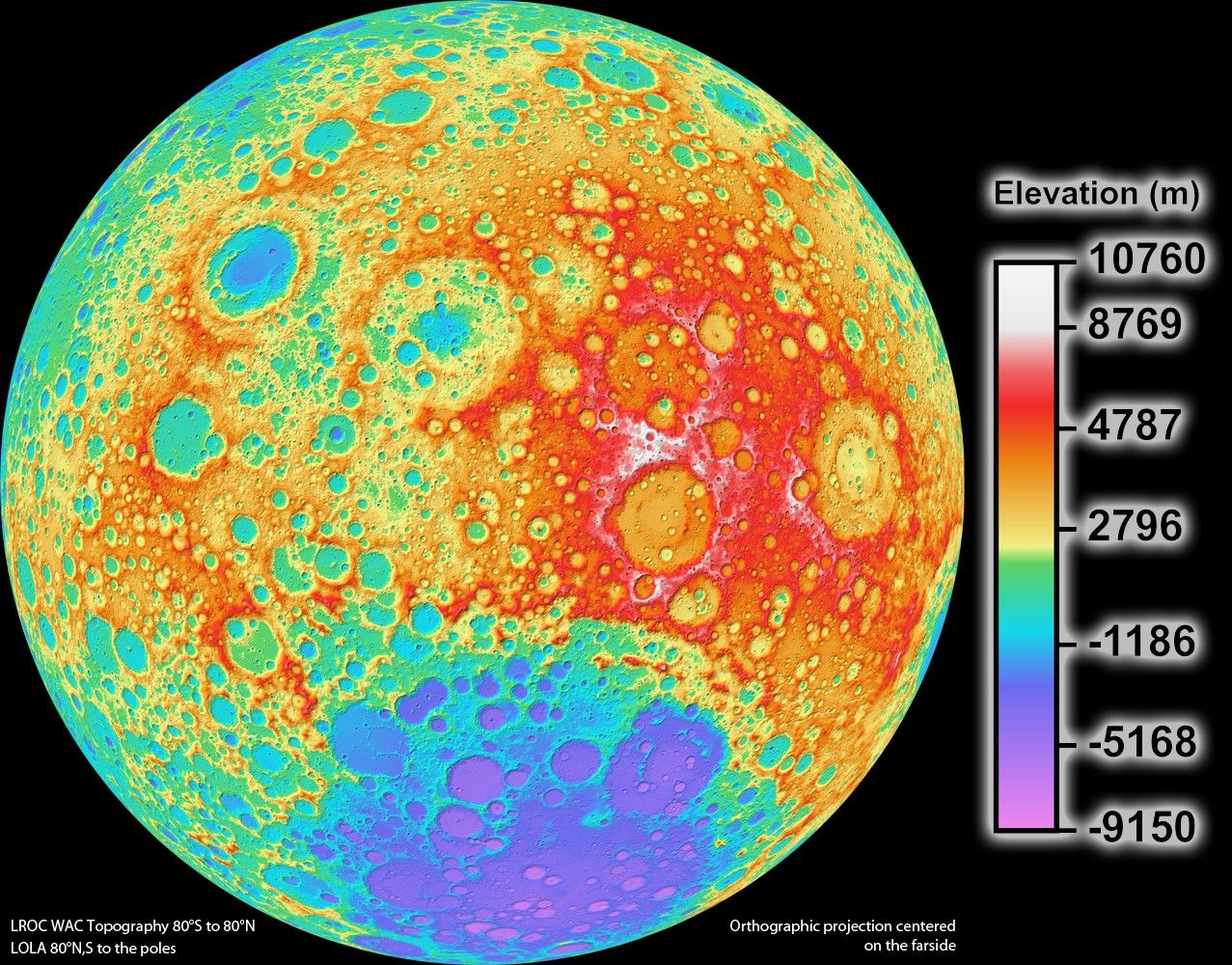
Topographic Map of the Moon's Far Side (LRO)
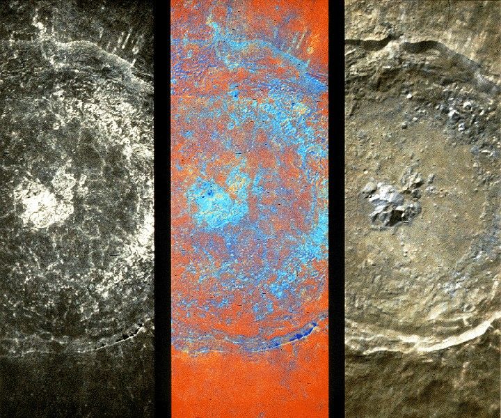
Ultraviolet & Visible Tycho Crater (Clementine)
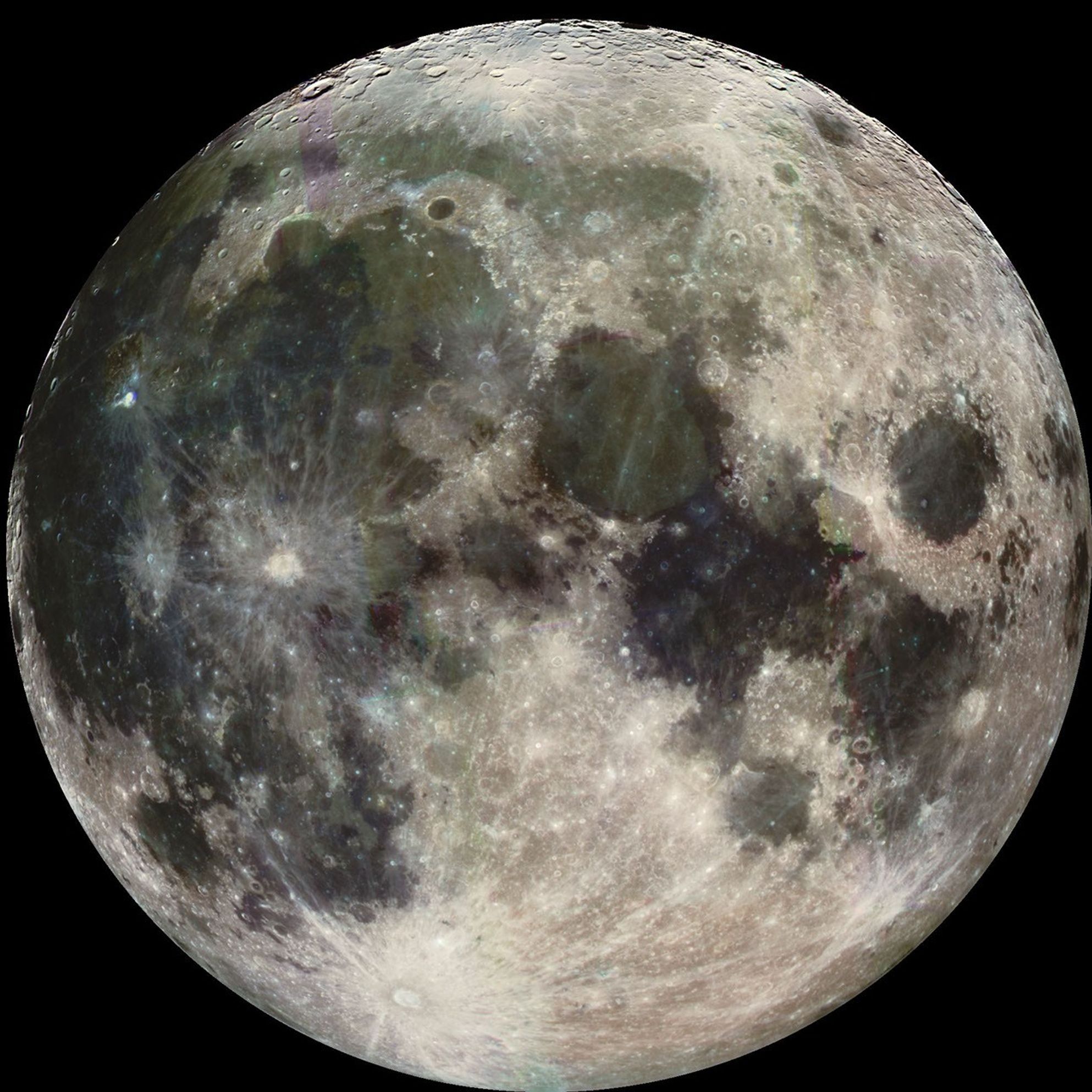
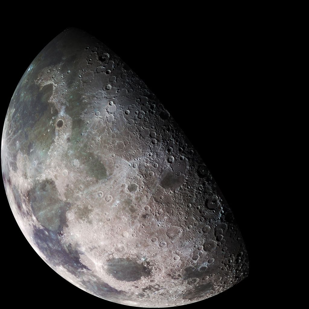
Visible & Near-Infrared Moon (Galileo)
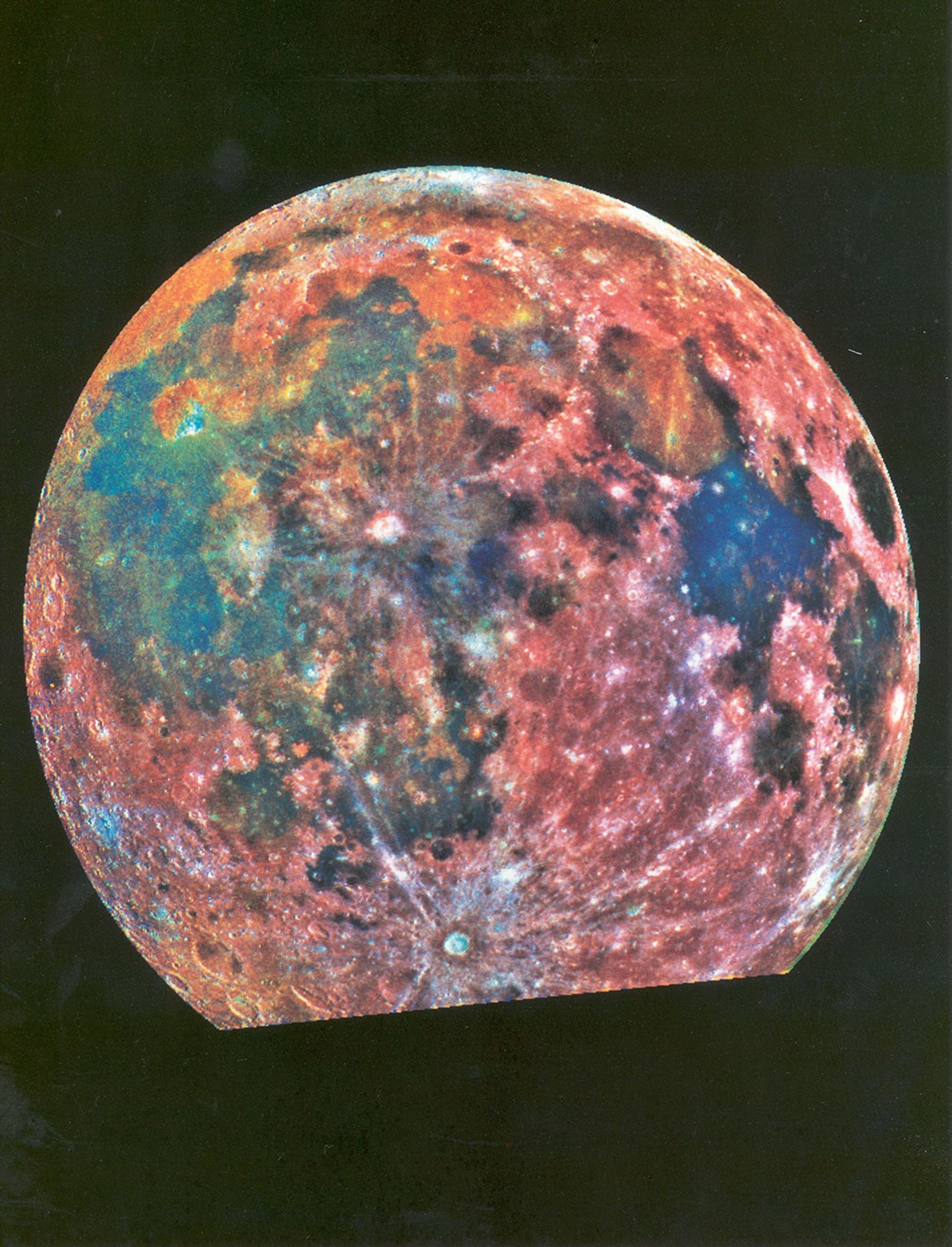
Colorful Moon (Galileo)