Arctic Sea Ice Minimum Extent - Earth Indicator
Key Takeaway:
As Earth's atmosphere and ocean warm, seasonal melting of sea ice increases. This is most notable in the summer, when Arctic sea ice cover reaches its smallest area, known as its minimum extent. Measurements of summer Arctic sea ice extent each year show a shrinkage of 12.2% per decade due to warmer temperatures.
Annual September Minimum Extent
12.2 percent per decade
Arctic sea ice follows a seasonal pattern. Colder winter temperatures and darkness help it grow, while warmer summer temperatures rise above freezing, causing sea ice to melt. As part of this seasonal pattern, there is a point when the sea ice stops melting. This point is measured by satellite sensors each year in late September as the minimum extent, or smallest area of the sea ice. Shortly after the melting stops, cooler temperatures will cause sea ice to thicken again, continuing through the winter months.
The measurements have shown that September Arctic sea ice is shrinking at a rate of 12.2% per decade, compared to its average extent during the period from 1981 to 2010. This graph shows the area extent of the Arctic sea ice each September since satellite observations started in 1979. The monthly value shown is the average of daily observations across the month of September during each year as measured from satellites. The data is the latest available and is updated annually.
The animated map shows the minimum size of the Arctic sea ice measured each year since 1979, based on satellite observations with the graph of year-to-year changes overlayed.
Sea ice extent is one of three key sea ice metrics. Other measurements include:
Related Missions
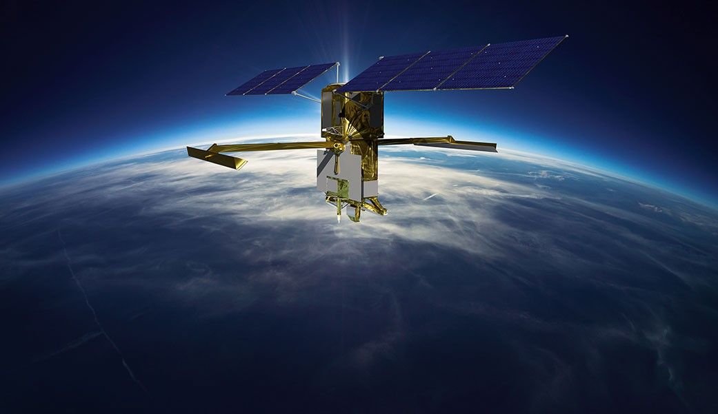
Surface Water and Ocean Topography (SWOT)
U.S. and French oceanographers and hydrologists and international partners have joined forces to develop this satellite mission to make the first global survey of Earth's surface water, observe the fine details of the ocean's surface topography, and measure how water bodies change over time.

