


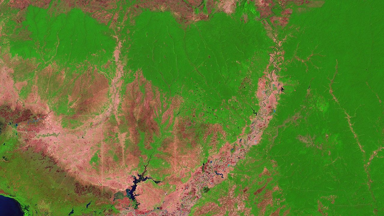

before
after
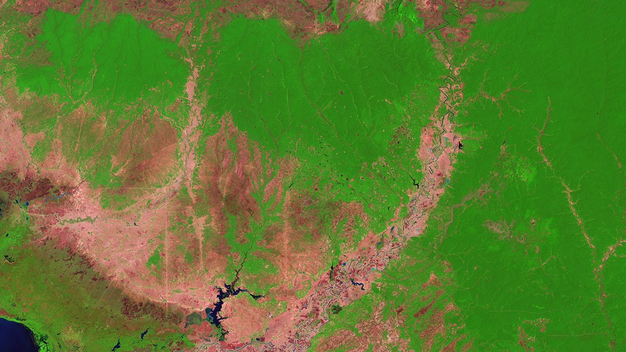
Before and After
Rapid forest loss in Cambodia
January 12, 1990 - January 29, 2017
According to University of Maryland researchers who used Landsat satellite data, Cambodia had the world’s most accelerated rate of deforestation between 2001 and 2014, losing 5,560 square miles (about 14,400 square kilometers) of forests during that time. The researchers attributed this rate in part to changes in global rubber prices and a surge in land-concession deals. In these images, dark green shows forests and pinkish-tan shows old, small-plot agricultural areas. In the lower left corner of the 2017 image (right), bright green landscapes peppered with darker blocks are crops, and bright green rectangles at the top left are agroforestry areas where rubber or oil palm plantations have emerged. Left image taken by the Landsat 5 satellite. Right image by Landsat 8. Source: U.S. Geological Survey (USGS) Landsat Missions Gallery: “Cambodia Experiences Rapid Rate of Forest Loss”; U.S. Department of the Interior / USGS and NASA.


