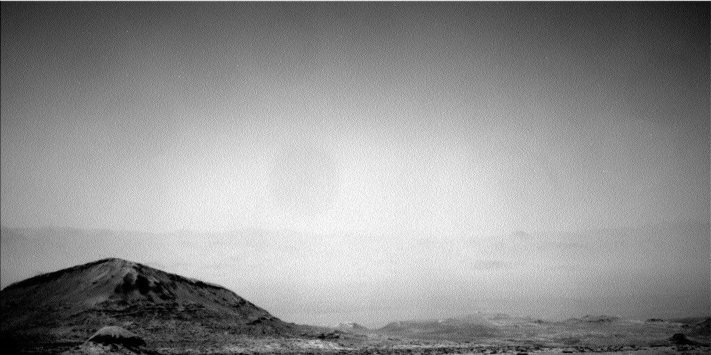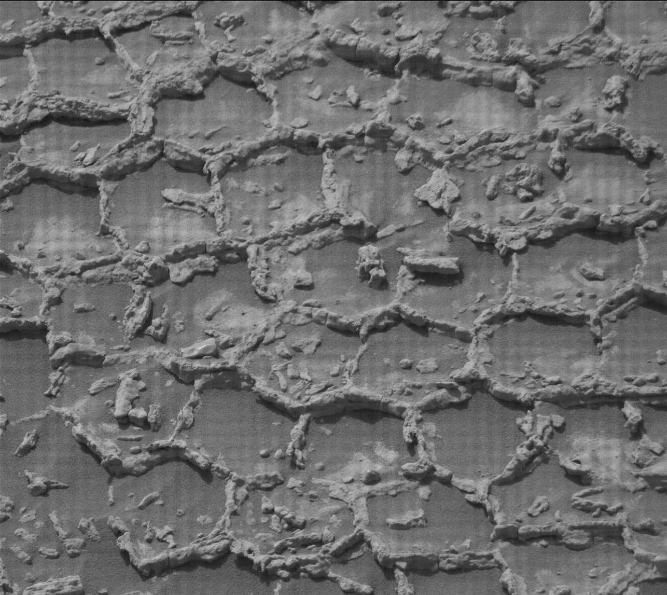
As Curiosity makes her way to the site where the science team would like to drill next, there is no shortage of observations to make of the many different lithologies of the clay-bearing unit. On Sol 2354, we were greeted with a pebble-dominated workspace, and had the opportunity for a quick contact science analysis with MAHLI and APXS before driving on. However, the rover wake up time was late enough in the morning that the temperature would have been a bit too warm for APXS to yield its best data. While it is ideal for MAHLI and APXS to work together, the team still thought it valuable to acquire MAHLI images of pebbles (the target "Gigha," a collection of red-and-gray rock fragments of various shapes ranging from ~1-4 cm in size) in the workspace to investigate their texture and grain size at the sub-millimeter scale. ChemCam also got in on the pebble act, targeting "Greenvoe." ChemCam also acquired a raster from a slightly larger target, "Greenock," a bedrock patch peeking through the pebbles. The "Vera Rubin Ridge," our exploration home for so many months, looms north above us on this part of our traverse, offering vertical faces of outcrop that make inviting imaging targets. We acquired a large stereo Mastcam mosaic and a ChemCam RMI mosaic of some prominent Vera Rubin Ridge outcrops, which help us document the structure that makes up the ridge and hopefully provide insight into how the ridge formed. To measure the bedding structure of outcrops in the clay-bearing unit itself, we acquired Mastcam stereo of closer, smaller bedrock outcrops called "Bellyford Burn."
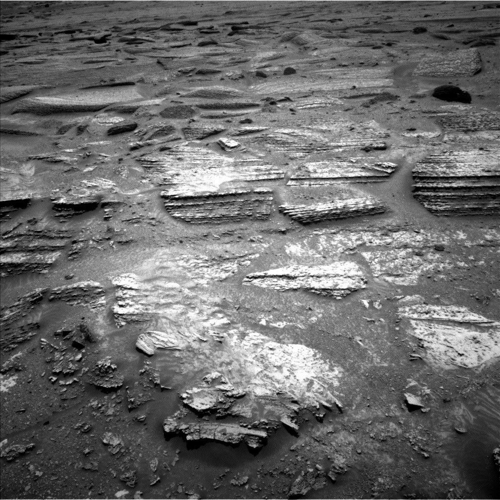
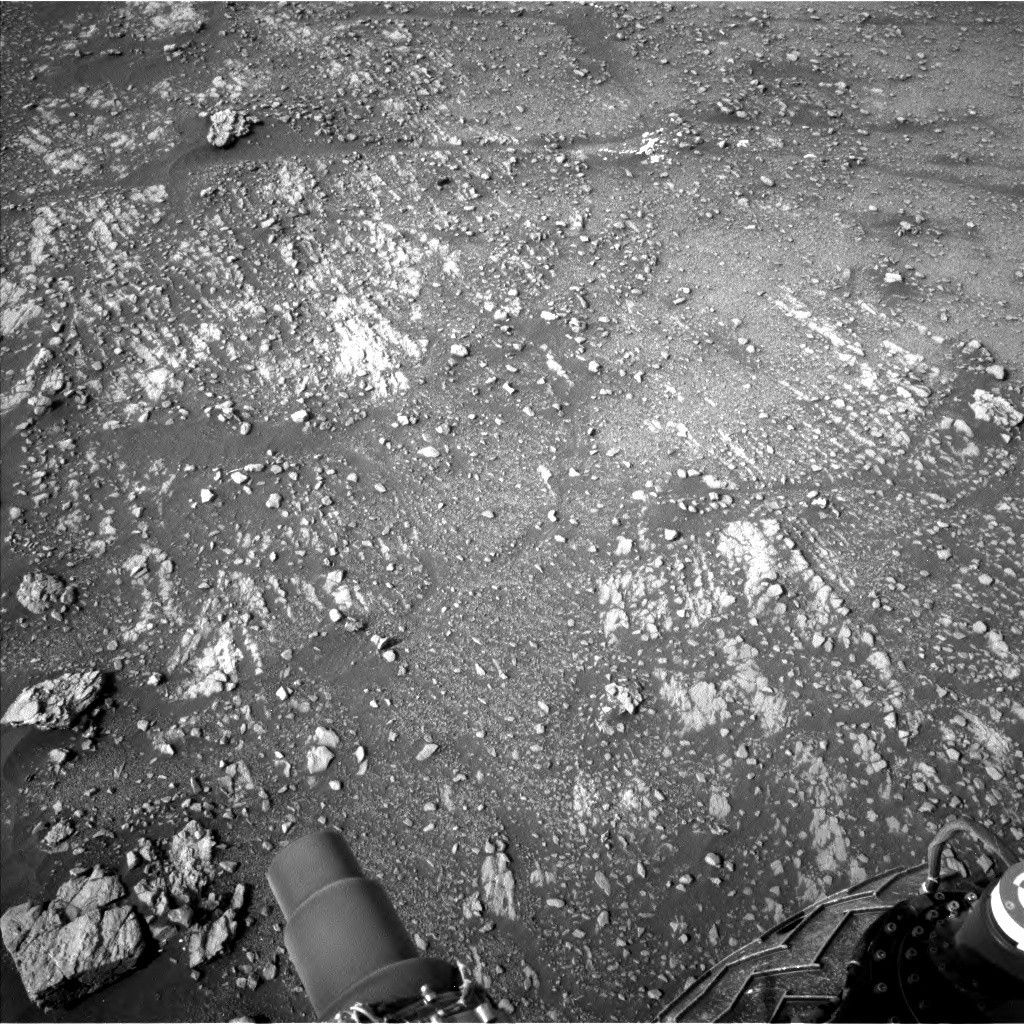
After departing Gigha, Greenock and Greenvoe, Curiosity drove northeast in search of bedrock and to get slightly closer to the Vera Rubin Ridge. At our end-of-drive location, ahead of our weekend activities, we acquired three automatically-targeted ChemCam rasters, two in the workspace and one along the right side of the rover. Each will give us a great head start on assessing the chemistry of the materials around the rover. The Sol 2356 workspace indeed had more extensive bedrock patches than the Sol 2354 workspace, in addition to two types of pebbles. One pebble type was like those observed with Gigha, and the second was smaller, rounder and grayer - yet another variation observed within the clay-bearing unit! We put the payload to work on all the different lithologies facing us. MAHLI, APXS and ChemCam each took turns on the bedrock target "Snorre," which will surely be anything but boring. MAHLI and APXS will conduct their own variation of a raster - three overlapping analysis spots over a field of the smaller, grayer pebbles called "Stonebriggs." Such a raster helps APXS separate the chemistry of the pebbles from the background soil. ChemCam will get their own raster over both gray and Gigha-like pebbles at the target "Cairnwell." Outside the workspace, along the right side of the rover and extending for meters ahead of the rover we observed small, parallel, narrow ridges of bedrock (image above). Further from the rover, yet more bedrock was present, but which appeared in larger, flatter patches. These two contrasting bedrock manifestations drew the attention of the team, earning stereo Mastcam mosaics over "Flodigarry" (the ridges) and "Dumfries" (the flatter patches). Flodigarry was close enough that we could also target it with ChemCam, a chemistry measurement that can be compared and contrasted to the rest of the materials around the rover. The Vera Rubin Ridge still proved to be a target of interest as the science team targeted yet another ChemCam RMI mosaic on a vertical outcrop face near the one imaged on Sol 2354. Once all these activities are wrapped up, Curiosity will drive east and ever closer to our next drill target. Before and after drives, DAN will ping the subsurface over which the rover traverses, seeking signs of hydrogen.
Curiosity did not just stay focused on the clay-bearing unit and the Vera Rubin Ridge - the sky above also got a lot of attention! Mastcam and Navcam images and movies of atmospheric clarity, clouds and dust devils will be acquired at morning, late morning, afternoon and evening times so their behavior can be recorded at different times of day. Regular REMS and RAD measurements will faithfully record the weather and radiation environment of our small patch of the Martian surface. Even MAHLI and APXS will get in on the action! MAHLI will image the REMS UV sensor to record how much dust has settled on it, thereby affecting its measurements. APXS will measure the Ar content of the atmosphere. Finally, Navcam will attempt to capture Phobos, one of Mars's moons, transiting across the Sun in the Martian sky.
Written by Michelle Minitti, Planetary Geologist at Framework