![Request for Information – Potential [Placeholder for Prize]](https://assets.science.nasa.gov/dynamicimage/assets/science/missions/a-step/FFR_Earth_Background_20251120%20.png?w=1024)


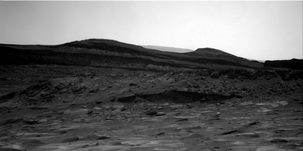
If all goes according to plan, the rover’s drive on sol 3397 will position us at the edge of the rocks that cap Greenheugh Pediment. This drive was pushed back from sol 3395 in order to collect even more data on the sedimentary rocks in our current workspace before we leave this rock formation and enter into a new one. This transition is documented in the Mastcam drive direction image above, in which the rocks capping the pediment can be seen in the background.
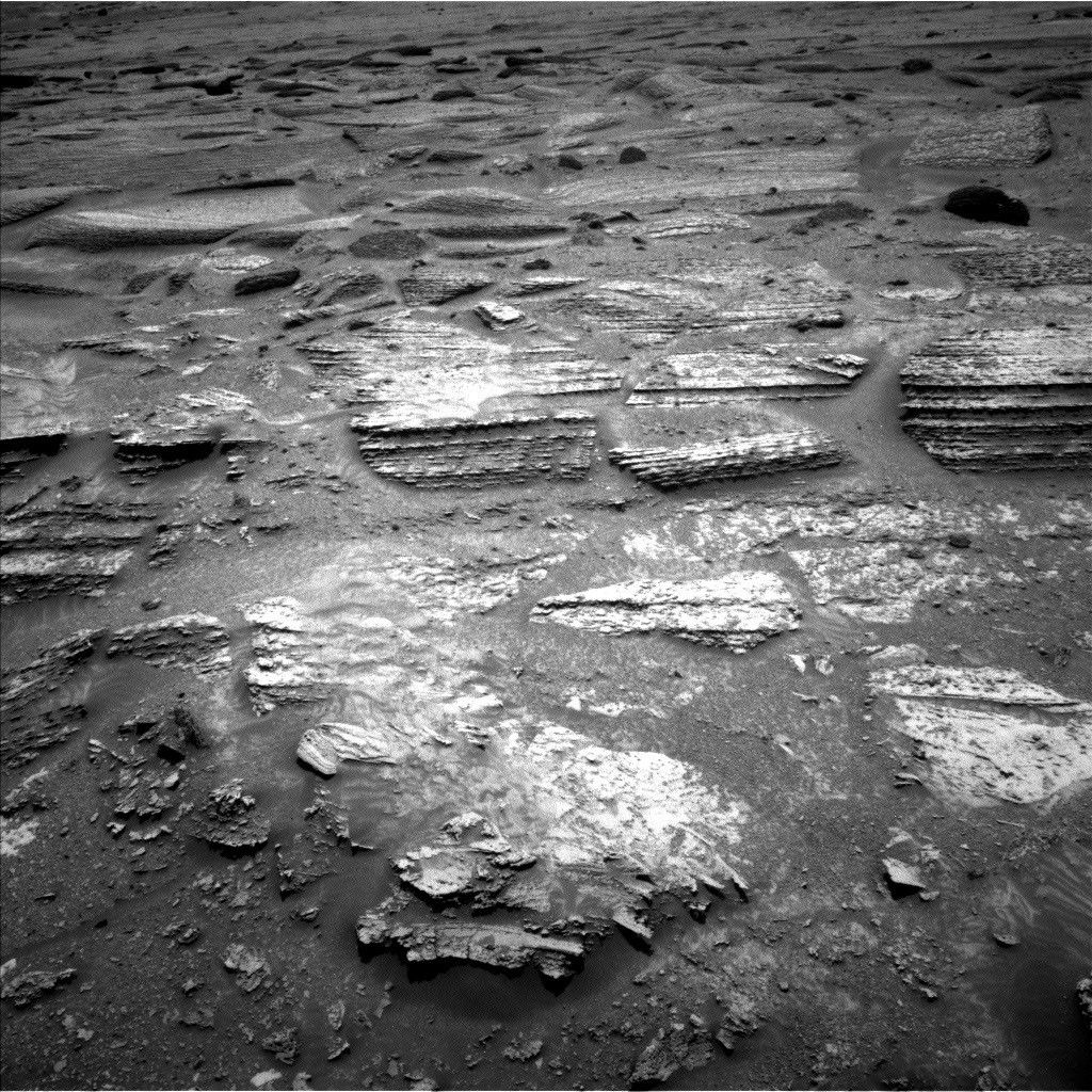
Three full hours of contact and remote science activities were planned prior to the drive. Bedrock target “Scousburgh” will be analyzed with APXS, MAHLI, ChemCam LIBS, and Mastcam multispectral after being brushed with the Dust Removal Tool (DRT). APXS, MAHLI, and ChemCam LIBS data will also be acquired on a concretion feature called “Blackthorn Salt.” ChemCam passive observations will be collected on a float rock called “Carn Chuinneag,” as well as on the bedrock target “Galdenoch” that was DRT’ed on sol 3395. The latter target will also be imaged with a Mastcam multispectral to collect additional data on this patch of cleaned bedrock.
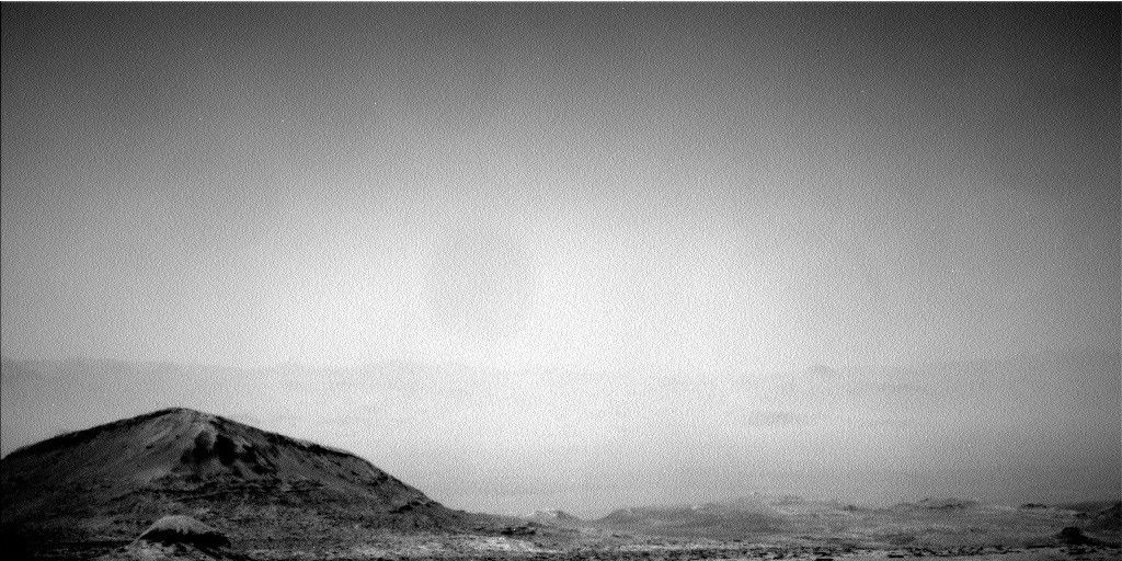
Four image mosaics will provide a closer look at far-field rock targets: A Mastcam mosaic will be acquired covering rock outcrop “Auchinleck Tip,” and another will extend coverage over the Stimson formation contact. The distant Gediz-Vallis Ridge will also be imaged with Mastcam and ChemCam RMI. Two additional Mastcam images of a sand deposit in front of the rover called “The Souter” will be used to search for wind-driven sand motion during our stop at this location.
Lastly, a set of environmental monitoring observations were scheduled before the rover’s drive, including a Navcam line of site image, Navcam dust devil movie, Navcam suprahorizon movie, and Mastcam crater rim observation. A Mastcam image to assess dust in the atmosphere will also be acquired on sol 3397 after the rover’s drive towards the pediment. This plan will likely be our last opportunity to study the sedimentary rocks that built Mt. Sharp before we transition into a new geologic formation that caps the pediment, so the team made the most out of it!
Written by Mariah Baker, Planetary Geologist at Center for Earth & Planetary Studies, Smithsonian National Air & Space Museum