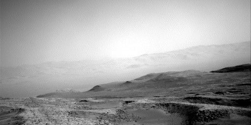
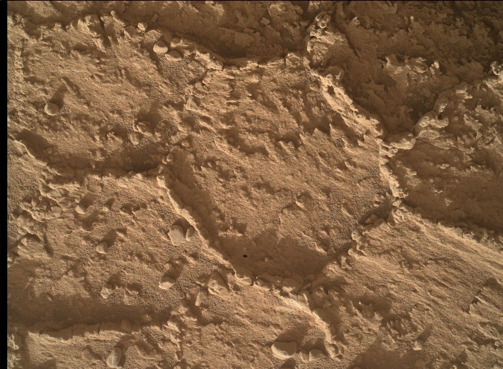
We continue our drive through “Marker Band valley”, an area of high interest scientifically, due to strong evidence of sulfates from orbital mapping. In this area, the sulfates are typically magnesium rich (think Epsom salts!), with less evidence for the more common calcium rich sulfates we have been traversing across for over ten years.
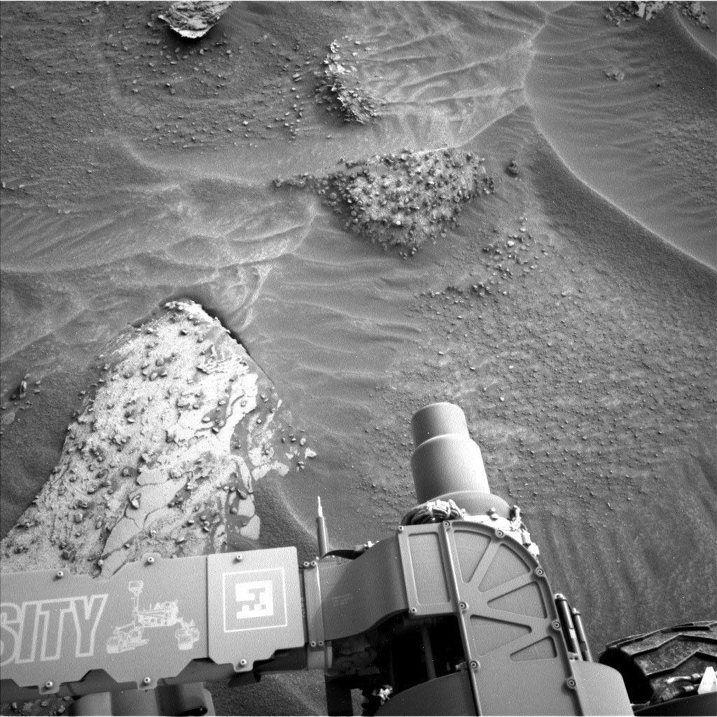
We found some lovely bedrock in our workspace this morning, close enough to touch with APXS and MAHLI. The main bedrock slab (lower left in the above image) has two obvious textures – the bedrock itself and then a smooth layer, which can often represent a vein surface. As APXS Strategic Planner today, my job involved helping the geology theme group (GEO) to choose the best targets. We were not able to brush the bedrock here but did manage to find two spots relatively free of dust and sand: “Santa Silvia” is a typical bedrock target, whilst “Vista Alegre” focuses on the flat smooth surface. ChemCam is shooting a similar smooth target “Ita” along the same vein surface.
Just outside the arm reach, in the upper right of the above image, there is a very intriguing bedrock slab, with lots of rock fragments - some loose, some in place. These fragments are very abundant in this area but it’s not clear if these are pebbles or nodules (with concentrated sulfate composition, for example), so ChemCam is shooting the target “Mucajai” to see if they can shed light on the origins of the fragments.
In addition to imaging the ChemCam targets at this workspace, Mastcam will image “Maracaibo” and “Rorainopolis,” both acquired to examine rocks ahead of us in the Marker Band valley. Mastcam will also acquire a multispectral image of a light-toned soil “Calcara,” freshly scuffed in wheel tracks behind us, seen here to the left of the turret in this Left Navcam.
The environmental theme group (ENV) continue to document conditions within Gale crater, in particular looking at dust buildup in the atmosphere, using Mastcam “tau” measurements.
Finally, we have a long drive along the MSAR (Mount Sharp Ascent Route). The drive didn’t have any specific end points of interest to focus on. Instead, the rover planners were advised to drive as far as they could on the MSAR, so we are doing a 58-metre drive on the second sol of this weekend plan. That’s a considerably faster pace than we have done recently, as we searched for the optimal drill site (choosing “Canaima” in the end as our 36th drill hole on Mars). This long drive is paired with a MARDI “sidewalk” image- which is a continuous video shot along the whole length of the drive. At 58 metres, this one will be one of the longest sidewalk videos ever taken on the mission.
Written by Catherine O'Connell-Cooper, Planetary Geologist at University of New Brunswick


