


Earth planning date: Wednesday, Sept. 4, 2024
Today’s two-sol plan contains the usual science blocks filled with contact science and remote science to observe and assess the geology surrounding us. However, the Mastcam team is hoping to capture a special celestial event above the Martian skyline as one of Mars’ moons, Phobos, will be in conjunction with Earth on the evening of the first sol of this plan. So everyone look up, and smile for the camera!
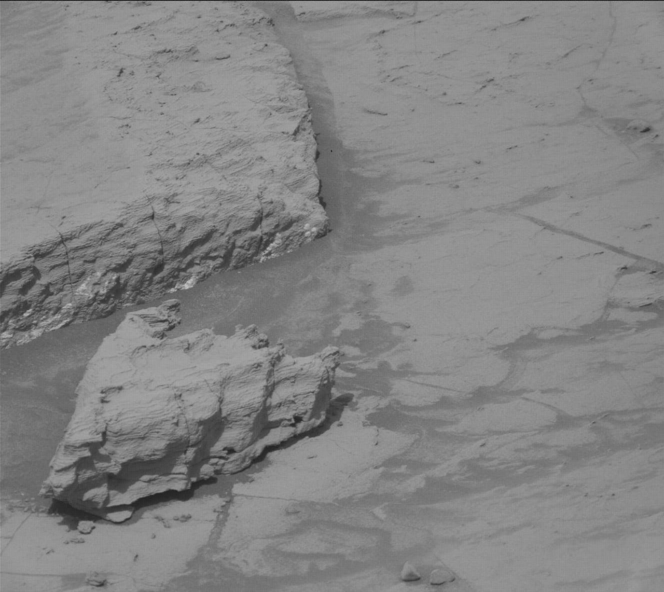
Coming back to our beautiful workspace, in this plan there is a focus on targeting the different colors and tones we can see in the bedrock with our suite of instruments. In the image above we can see some of these varying tones — including gray areas, lighter-toned areas, and areas of tan-colored bedrock — with an image from the MAHLI instrument, Curiosity’s onboard hand lens.
APXS is targeting “Campfire Lake,” a lighter-toned area, and “Gemini,” a more gray-toned area situated in front of the rover. MAHLI is taking a suite of close-up images of these targets too. ChemCam is then taking two LIBS measurements of “Crazy Lake” and “Foolish Lake,” both of which appear to have lighter tones. Mastcam is documenting this whole area with a workspace mosaic and an 8x2 mosaic of “Picture Puzzle,” named after the rock in the image above that was taken during the previous plan. Mastcam will also be capturing a 6x3 mosaic of an outcrop named “Outguard Spire” that has an interesting gray rim. Looking further afield, ChemCam has planned a long-distance RMI image of the yardang unit and Navcam is taking a suprahorizon movie and dust-devil survey for our continued observations of the atmosphere to round out this plan.
Written by Emma Harris, Graduate Student at Natural History Museum, London