


Written by Abigail Fraeman, Planetary Geologist at NASA's Jet Propulsion Laboratory
Earth planning date: Wednesday, May 28, 2025
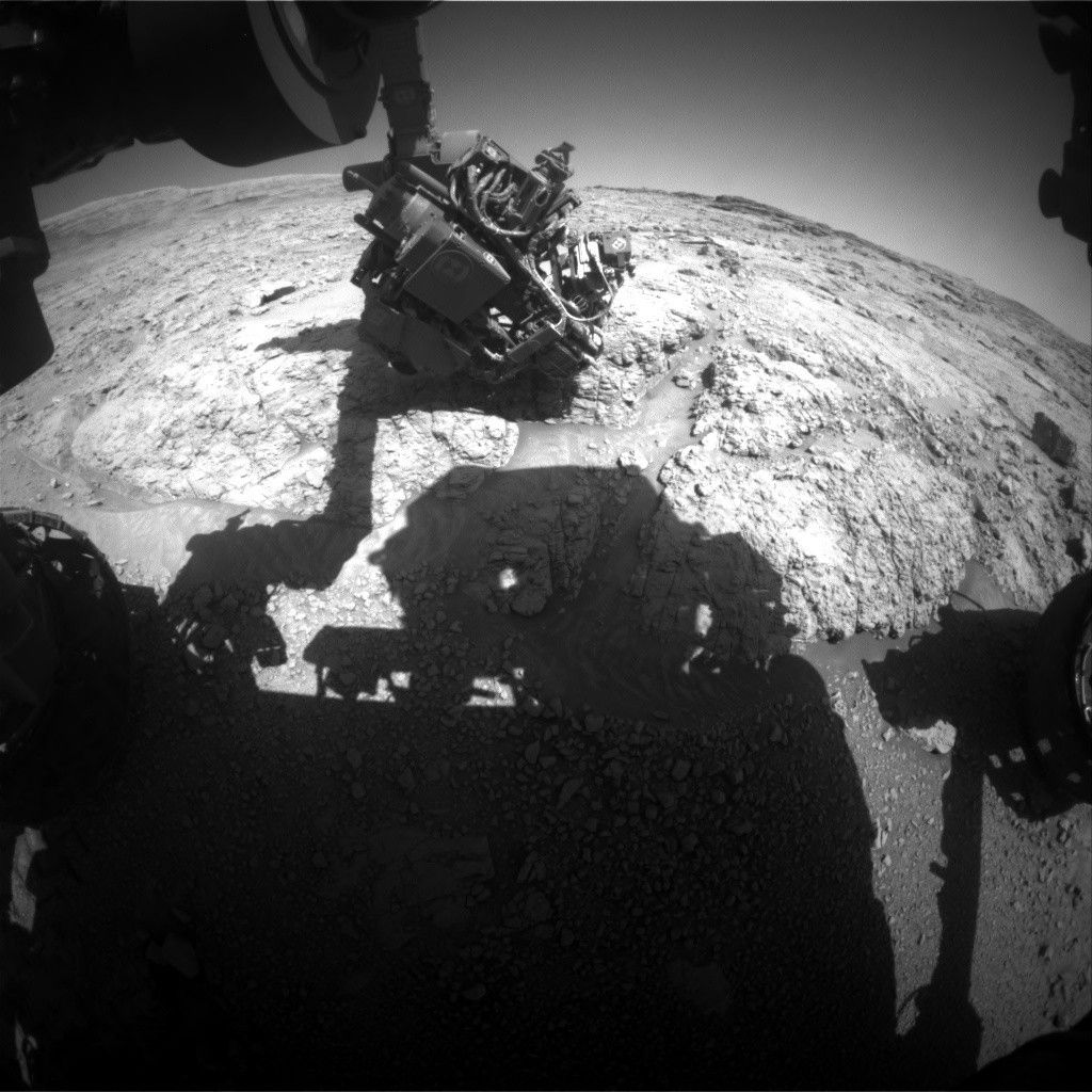
We came in early this morning and learned that part of Tuesday’s plan didn’t execute on Mars due to a temporary issue with the arm. We collected APXS data on the target “Palo Verde Mountains,” but were not able to take the corresponding MAHLI images or drive away. So it was a straightforward decision for the planning team today to pick up where we left off yesterday, giving ourselves a second chance to collect the MAHLI observation and then complete the same 29.5-meter drive to the west (about 97 feet) that we had planned on Tuesday.
We love making lemonade from lemons when things don’t go exactly as expected in rover tactical planning, and today was no exception. Since we’re sticking around for a little bit longer, the science team decided to collect additional mosaics of impressive nearby features, including a 15x2 Mastcam mosaic of the “Mishe Mokwa” hill and an 11x2 Mastcam mosaic of fractures near “Lake Cachuma.” We’re also having another go at taking the epically long, long-distance RMI mosaic of a crater 91 kilometers away from Curiosity (almost 57 miles) that we planned yesterday, and we’re playing around with the focus settings to see if we can get a sharper image.
The team also had time for a second RMI mosaic of our very well-imaged “Texoli” butte, and a ChemCam LIBS observation on a target named “Santa Monica Bay,” which is just above the “Sisquoc River” target we observed yesterday on the bumpy rock in our workspace. As usual, we will also continue to monitor the environment around us with REMS, RAD, Navcam, and Mastcam observations.


