Keeping PACE with Ocean Change
By Kyle Turner, Charlotte Rhoads, Maria Tzortziou, Joaquim Goes, and Antonio Mannino
In early 2025, Maria Tzortziou and members of her lab at the City College of New York, Joaquim Goes from the Goes-Gomes Lab at Columbia University’s Lamont-Doherty Earth Observatory, and Antonio Mannino from NASA’s Goddard Space Flight Center, joined forces with OceanX—a global nonprofit working to unlock the ocean’s sustainable potential—to collect data in some of the most under-sampled regions of the ocean.
The primary goal of our collaboration was to support and validate science data products from NASA’s recently launched Plankton, Aerosol, Cloud, ocean Ecosystem (PACE) satellite mission which, as the name suggests, was designed to provide cutting-edge space-based observations to better study and monitor the processes, properties, and health of Earth’s closely interconnected ocean and atmosphere.
Changing Colors, Changing Seas
Launched in February 2024, the PACE Ocean Color instrument (OCI) is the newest, most advanced polar-orbiting satellite sensor monitoring ocean color, an essential variable for tracking long-term global climate and ecosystem change.
The PACE mission builds on a nearly 30-year continuous data record of space-based ocean color observations that have revolutionized our understanding of ocean biology and biogeochemistry, providing a daily, planet-scale view of phytoplankton—microscopic, single-celled, photosynthetic organisms that form the foundation of aquatic food webs.
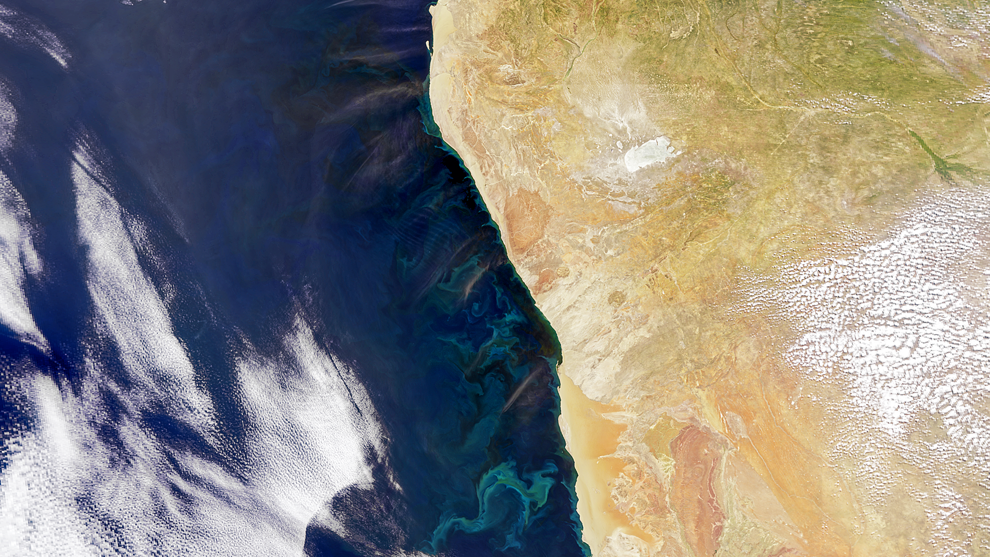
Like plants on land, phytoplankton use chlorophyll and other pigments to absorb sunlight and take in carbon dioxide and nutrients to grow, producing oxygen as a byproduct. While individually microscopic, phytoplankton blooms—large proliferations of cells that can span hundreds of square kilometers or more on the ocean surface—color the water myriad hues of green, turquoise, red, or brown, depending on the type (or types) of species composing the bloom.
Compared with previous polar-orbiting ocean color sensors that could measure only a handful of colors, or wavelengths of light, PACE/OCI provides hyperspectral resolution, recording more than two hundred different wavelengths over the ultraviolet, visible, and near-infrared regions of the electromagnetic spectrum. This improved “color vision” gives scientists unprecedented ability to detect different types of phytoplankton based on their unique optical signatures, which can advance our knowledge of ocean biodiversity, ecosystem dynamics, and the impacts of ongoing ocean warming and acidification, such as harmful algal blooms. This new capability to measure “all shades of color” in the ocean also allows observations of the quality and transformations of organic carbon—the fundamental building block of life on our planet.
“Ocean-truthing” satellite measurements
Tzortziou and Goes are members of the PACE Validation Science Team (PVST), a comprehensive and rigorous effort involving many research groups across the globe to validate the data that PACE is now collecting in orbit. The main idea: to ensure that measurements from PACE agree (within an acceptable error) with the same measurements taken in situ, or from the water directly, via ships, buoys, or other platforms.
To obtain accurate data on the color of the ocean from PACE, the light absorption and scattering effects of the atmosphere must first be accounted for and removed through a complex process known as atmospheric correction. Collecting high-quality in situ validation data is essential to evaluate which atmospheric correction methods work best for PACE and how they can be improved.
In situ validation data is also needed to assess the accuracy of algorithms applied to PACE data and map an array of ecological products, such as suspended sediments, dissolved organic carbon, or phytoplankton community composition, which can serve to advance scientific discovery and environmental monitoring and modeling capabilities.
Because the atmosphere and ocean can have very different properties across regions (think mega-cities versus deserts), the objective of the PVST program is to collect consistent, high-quality data in as many contrasting areas of the ocean (and inland waters) as possible, especially regions with a relative lack of historical observations.
This lack motivated Tzortziou and Goes to focus their PVST activities on the Northern Indian Ocean, which is both historically under-sampled and highly dynamic seasonally and inter-annually. The team completed a successful cruise in the Bay of Bengal on the R/V Thomas G. Thompson last spring, along with a team from Mannino’s NASA oceans field group. Shortly after, an exciting new opportunity came along.
Enter the OceanXplorer
You may have heard of OceanX, a nonprofit operating program of Dalio Philanthropies, through the National Geographic TV series: “OceanXplorers” (co-produced for National Geographic by BBC Studios Natural History Unit and OceanX, with James Cameron and Maria Wilhelm serving as executive producers through Lightstorm Earth). OceanXplorers showcased the organization’s exploration of life in the deep ocean, featuring high-tech submersibles and remotely operated vehicles (ROVs) aboard the state-of-the-art research and media vessel OceanXplorer.
In January 2025, OceanX, in collaboration with OceanQuest, launched the Around Africa Expedition, a four-month mission endorsed by the United Nations Ocean Decade framework, to explore deep sea seamount ecosystems, conduct high-resolution seafloor mapping, and engage college students and early career ocean professionals from across the African continent.
Prior to the start of the expedition, Goes, Tzortziou and Mannino connected with Vincent Pieribone, co-CEO and chief science officer of OceanX and senior research scientist at Lamont-Doherty Earth Observatory, to talk about the potential of the Around Africa program to contribute to NASA’s PACE validation efforts. Fortunately, there were still a few berths available on the ship, and the exciting partnership would become a reality.
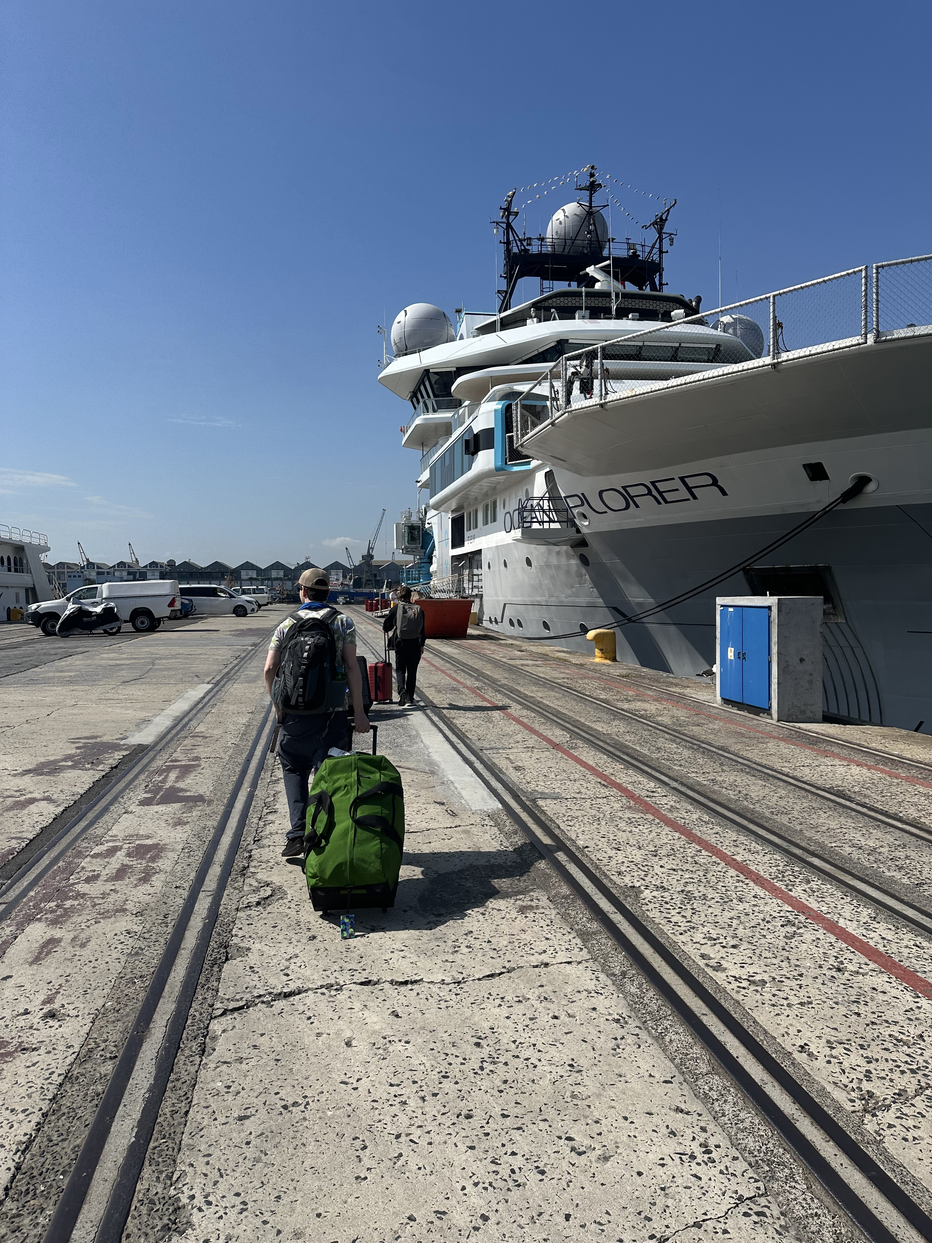
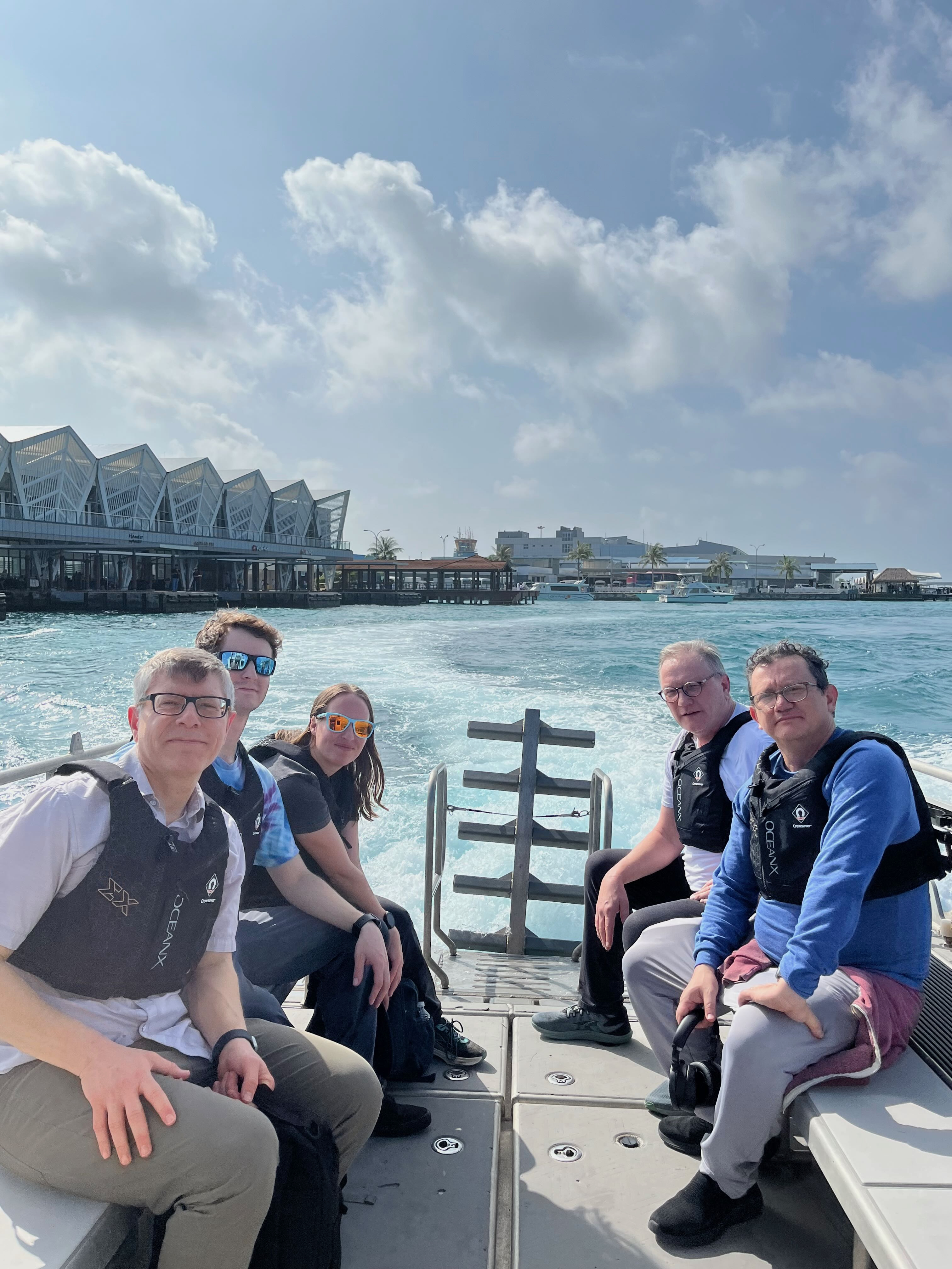
On January 27, Goes, Mannino, and NASA ocean ecologist Scott Freeman boarded for the first leg of the expedition, which would cover over 1,865 miles (3,000 kilometers) from the Maldives in the Indian Ocean to Comoros, an island nation off the coast of Madagascar. Later in February, Kyle Turner, a research associate in the Tzortziou Lab, and two new members of the NASA Ocean Ecology Lab field support group, Harrison Smith and Kelsey Allen, boarded the OceanXplorer in Cape Town, South Africa. From Cape Town, the ship made a four-day trip to Walvis Bay, Namibia, before proceeding over 18 days up the majority of Africa’s west coast to Mindelo, Cape Verde. Tzortziou, Goes, and Charlotte Rhoads, a master’s student in the Tzortziou Lab, closed out the journey on the final transit from Mindelo to Las Palmas, Gran Canaria.
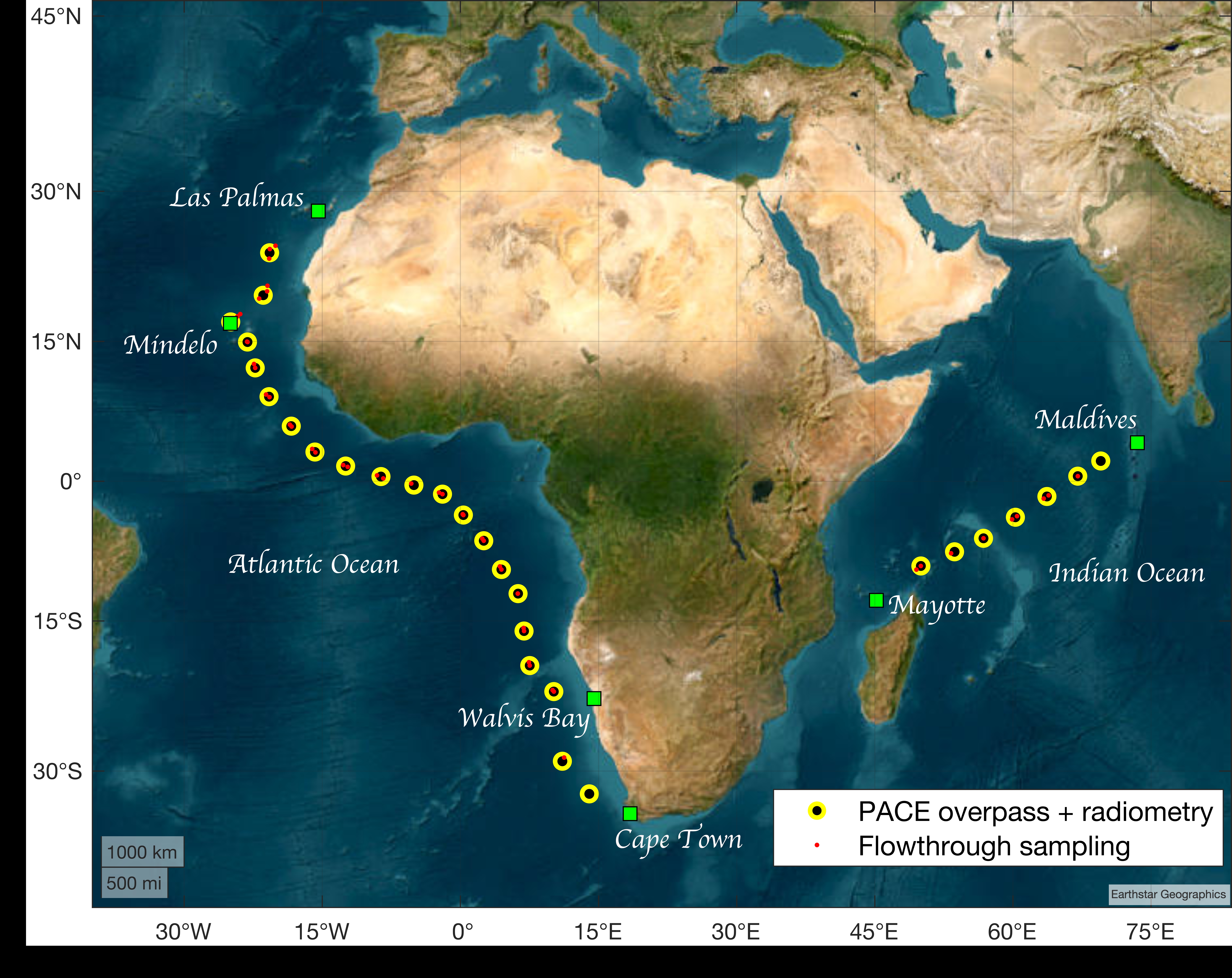
The tools of PACE validation
Over the voyage, a sophisticated arsenal of scientific instruments was deployed on the OceanXplorer to measure the optical and biogeochemical properties needed to thoroughly validate PACE.
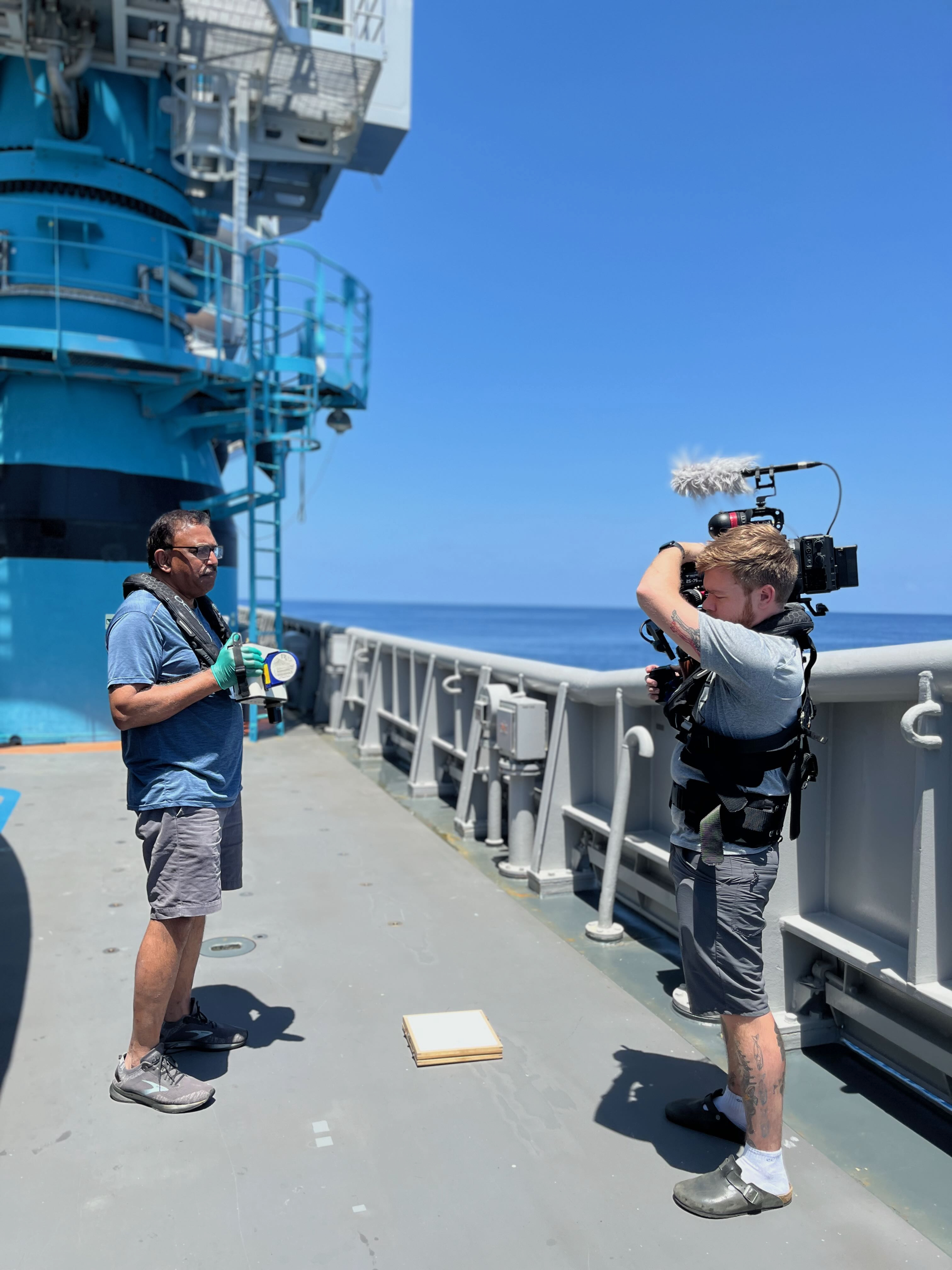
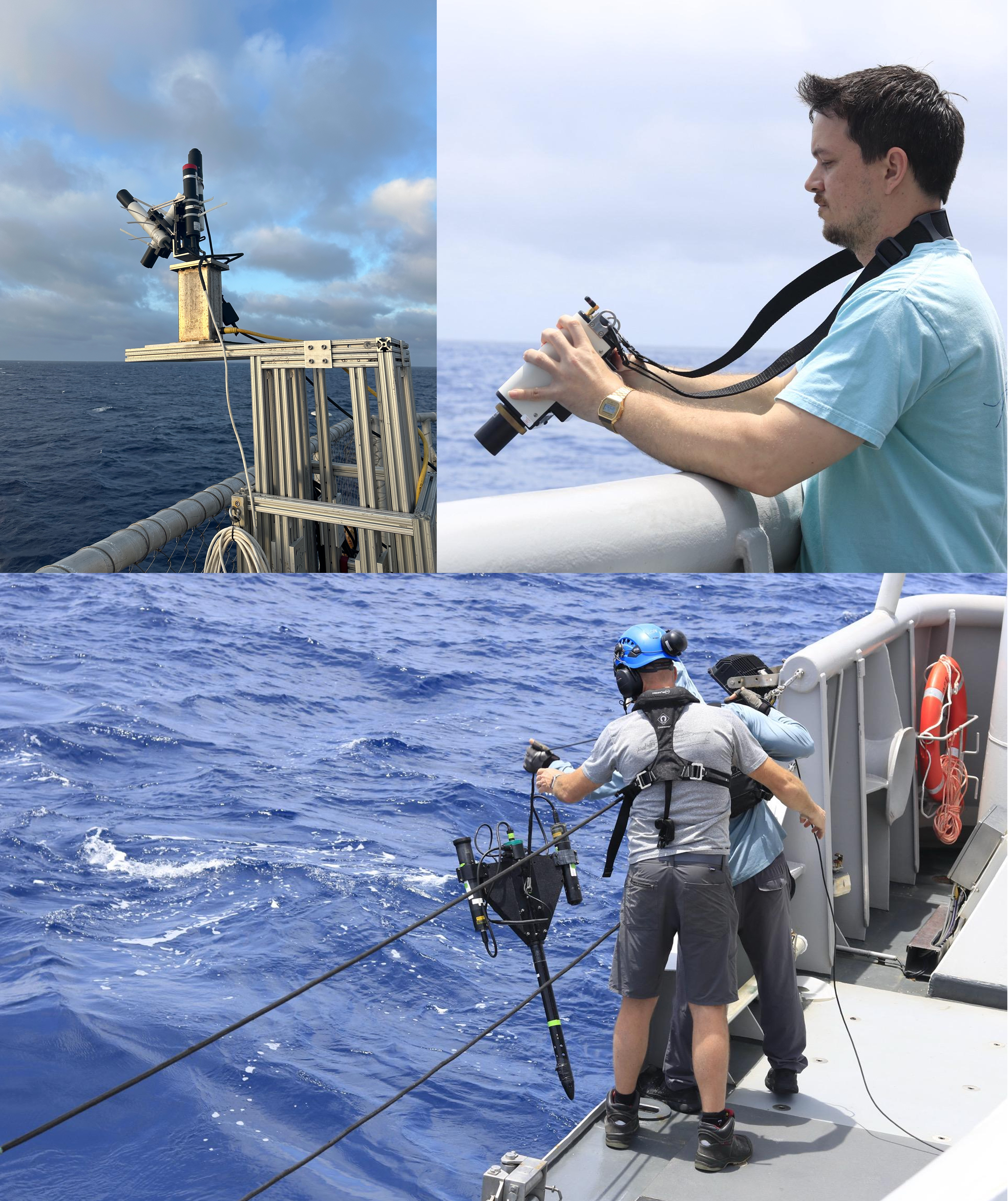
To measure ocean color, multiple hyperspectral radiometers, detailed light sensors, were used. One of these sensors, a solar tracking system called the pySAS, was installed on the helideck at the front of the ship to collect light radiance data from the water, sun, and sky continuously over the cruise (when outside of non-permitted exclusive economic zones). An in-water profiling radiometer, or HyperPro, and a handheld Spectra Vista Corporation (SVC) radiometer were also used to collect ocean color measurements once per day, as close as possible to the time that PACE would be doing its daily overpass of the ship’s location (about 1 p.m. local time).
Coincident with the radiometric measurements and PACE overpass, water samples were collected using the OceanXplorer’s CTD-rosette (or “Carl” as the crew calls it) to quantify the materials within the water that influence its color. The water samples were specially filtered in the ship’s wet lab for analysis of chlorophyll-a and other phytoplankton pigments, particulate and dissolved organic carbon, and suspended sediment concentrations, among other things. The samples would be returned to the U.S. and processed at the NASA or university lab facilities.
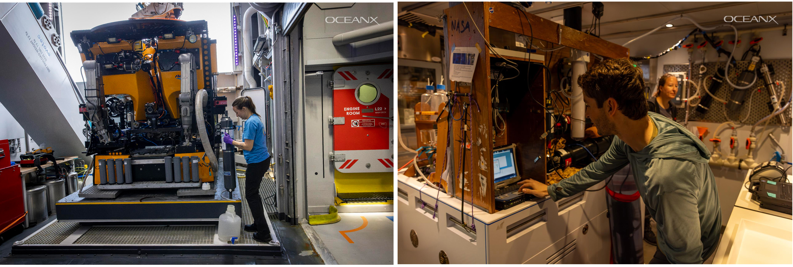

Measurements and water collections were also taken from the ship’s seawater flow-through system, which pumped surface water through the ship continuously as the ship was underway. A suite of optical sensors was connected in-line to measure the inherent light absorption and scattering properties of the seawater. Two other water flow imaging instruments, an Imaging FlowCytobot (IFCB) and FlowCam, recorded high-resolution microscopic images of individual phytoplankton cells, giving the scientists a real-time view of how the phytoplankton community composition was shifting as the ship traversed through changing water conditions.
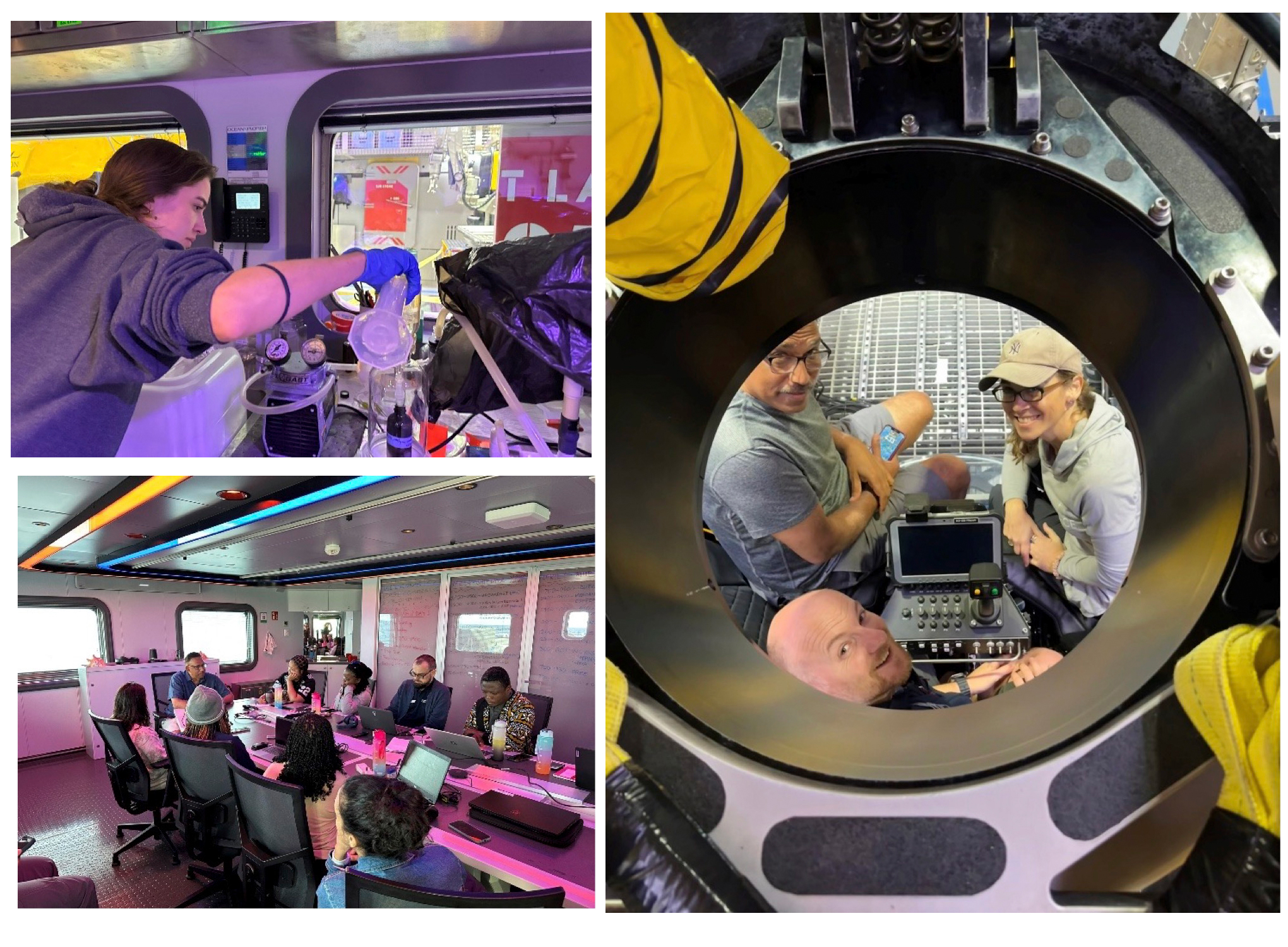
Bottom left and right, Maria Tzortziou
This mountain of information would all be related back to the light data recorded by PACE in space, ensuring the highest level of data accuracy and helping to push the boundaries of the science that’s possible with the new technology PACE provides.
Inspiring the next ocean leaders
While getting good validation data was the main goal, it wasn’t the only positive outcome of the collaboration.
On each leg of the Around Africa Expedition, a new cohort of students or early career ocean professionals from all over Africa joined for the unforgettable experience of sailing and learning aboard the OceanXplorer. Instructors provided hands-on training and lectures on things such as environmental DNA (eDNA) sequencing, video media and virtual reality, international ocean policy, and ROV piloting.
Members of the PVST team also had the chance to teach about the basics of satellite remote sensing and the importance of the NASA PACE mission, both through prepared presentations and in-person demonstrations of the optical instruments, wet lab sampling procedures, and how to find and download PACE imagery.
Across their varying roles and backgrounds, many members of the cohort expressed an interest in using PACE data for their work, ranging from fisheries management in Nigeria to coral reef conservation in Madagascar—evidence that ocean science and NASA’s global ocean imagery truly have global reach for accelerating knowledge and protecting our shared ocean resources.