


Earth Planning Date: Wednesday, July 3, 2024
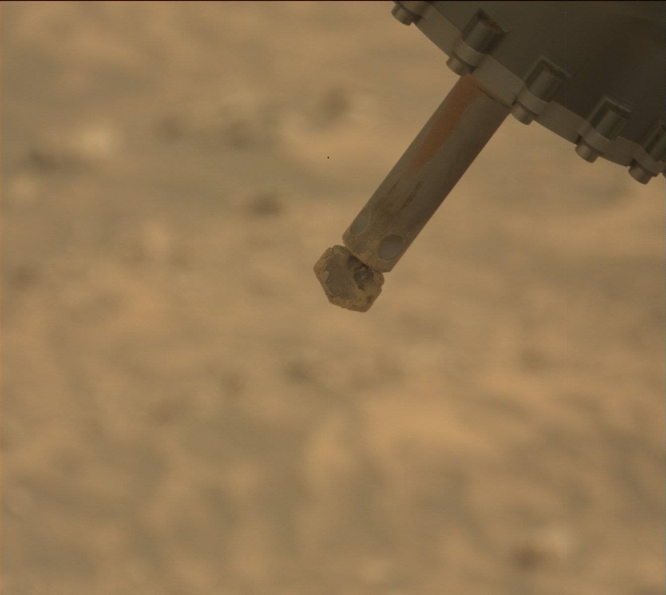
We received the data from our SAM analysis of the Mammoth Lakes sample late Monday afternoon. After chewing over the results, the team declared we are very happy with all of the analyses we’ve done with this sample, and we are ready to move on to greener pastures… er, redder rocks! This decision means that we will go ahead and clear out the drill assembly in today’s plan, and subsequently use the arm to collect MAHLI and APXS observations of the pile of drill tailings around the drill hole.
We’ll also have some time for remote sensing activities that use our mast-mounted instruments. Even though we’ve been parked at this location for several weeks, we’re still finding lots of things to look at! ChemCam will collect LIBS observations on a light-toned rock target named “Finger Peaks,” as well as a bumpy rock named “Glen Aulin.” We’ll also collect some additional Mastcam images of interesting features in the area, and a long-distance RMI mosaic of a target named “Rock Island Pass.” Several kinds of environmental monitoring activities will round out the plan.
It's been a very productive drill sampling campaign here at Mammoth Lakes, our first after crossing into Gediz Vallis channel, and I’m excited to start getting ready to move on. What’s around the corner in this fascinating area of Mt. Sharp?
Written by Abigail Fraeman, Planetary Geologist at NASA's Jet Propulsion Laboratory


