


Earth planning date: Friday, July 5, 2024
Curiosity will drive away from the Mammoth Lakes drill location on the second sol of this three-sol weekend plan, but before she does, the team will take the opportunity for one last chance at contact science in this interesting region of the Gediz Vallis deposit. The team have noticed distinct troughs surrounding many of the bright-toned, pitted blocks in this area and have been wanting to get closer imaging with MAHLI before driving away. We were unable to do this with powdered Mammoth Lakes still in the drill stem but, having dumped any remaining material in the previous plan, Curiosity is free to use her arm again for contact science, and hence the MAHLI camera. We will take images from about 30 centimeters (about 12 inches) away from the block (“Glacier Notch”) with MAHLI. Unfortunately, “Glacier Notch” was too close to the rover to be able to fit the turret in for APXS to examine the chemistry, so we had to choose a different target: “Lake Ediza” is an example of gray material that rims the Mammoth Lakes drill block.
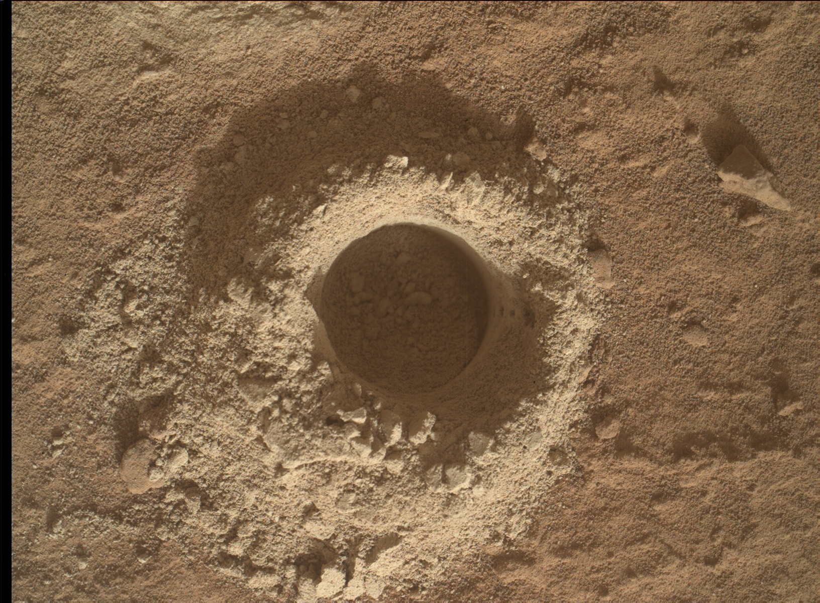
We also have one last chance for ChemCam and Mastcam in this immediate area. We will acquire ChemCam passive spectra of the Mammoth Lakes powdered material surrounding the drill hole (we collected APXS data and MAHLI images of the drill fines in the previous plan) and LIBS on a darker-toned target, “Zumwalt Meadow.” These targets will be documented by Mastcam. The long-distance imaging capabilities of ChemCam will also be utilized to examine nearby ridge and trough-like forms.
There are also a slew of atmospheric/environmental observations planned. Before we drive away, we will take advantage of being parked in the same spot while drilling to monitor any changes in the immediate environment by re-imaging a couple of areas previously captured on multiple occasions by Mastcam. Other atmospheric observations include a Navcam line-of-sight mosaic, Navcam dust devil, zenith, and suprahorizon movies, a ChemCam passive sky, and Mastcam taus.
After the drive, MARDI will image the terrain beneath the wheels and ChemCam will autonomously select a target to analyze with LIBS. Standard REMS, DAN and RAD activities round out the plan.
The team are looking forward to a new workspace when we return for planning on Monday, and continued investigation of the Gediz Vallis deposit.
Written by Lucy Thompson, Planetary Geologist at University of New Brunswick


