Extreme Weather Events
Filters

The first named storm of the 2026 Atlantic hurricane season brought intense rainfall and the threat of flash flooding to…

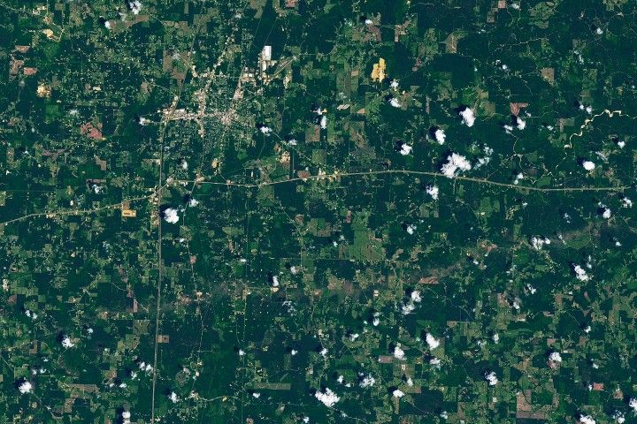
The strongest of several twisters to touch down in the southern part of the state in early May 2026 left…

Heavy rains from Tropical Cyclone Maila triggered a deadly landslide in the mountains of East New Britain.

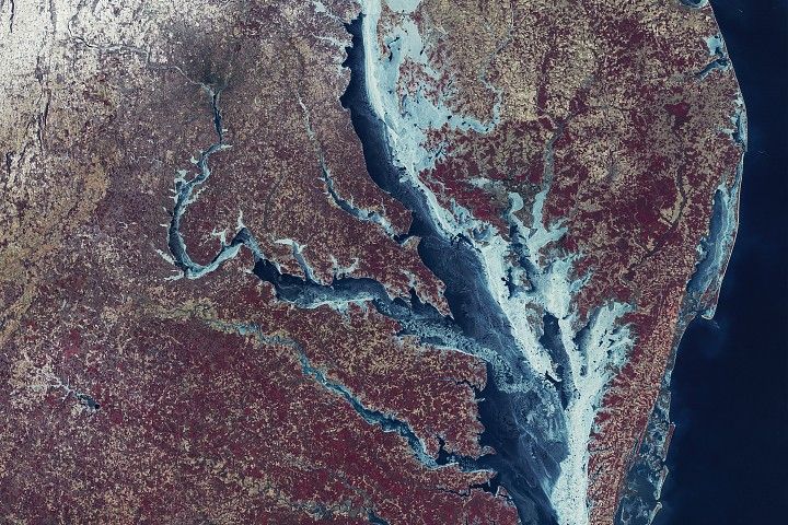
Nearly 50 years ago, the first Landsat satellite captured the rare sight of Mid-Atlantic waterways frozen over.

Villages and farmland were swamped after unusually heavy early-February rains pushed the Sinú River over its banks.

Widespread flooding affected tens of thousands of people after cyclones Fytia and Gezani drenched the island.

January brought blistering extremes Down Under as record temperatures scorched the nation’s southeast.

The country's northern regions are accustomed to snow, but unrelenting storms have snarled transportation and caused other challenges this winter.

In late January 2026, a strong, moisture-laden storm dropped snow across nearly the entire state, spanning from the Appalachians to…