Earthquakes
Filters
New Program Element A.18 Geosphere solicits proposals addressing one or more of the following sub-elements: On or about October 2,…
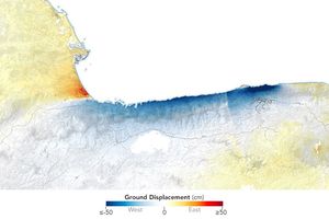
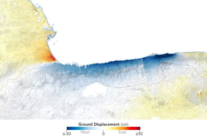
Radar data from the NISAR satellite show that La Guaira and nearby areas experienced significant ground displacement from the June…

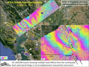
NASA’s C-20A aircraft completed a series of flights on April 29 over Central California to contribute new data to improve…
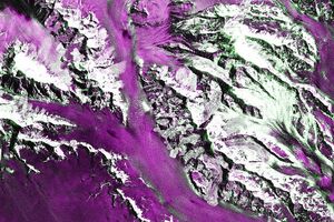
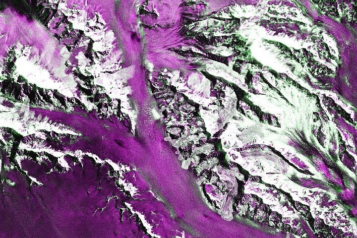
Satellite-based radar images show where a powerful earthquake in the Yukon, Canada, sent rock, snow, and ice spilling across the…
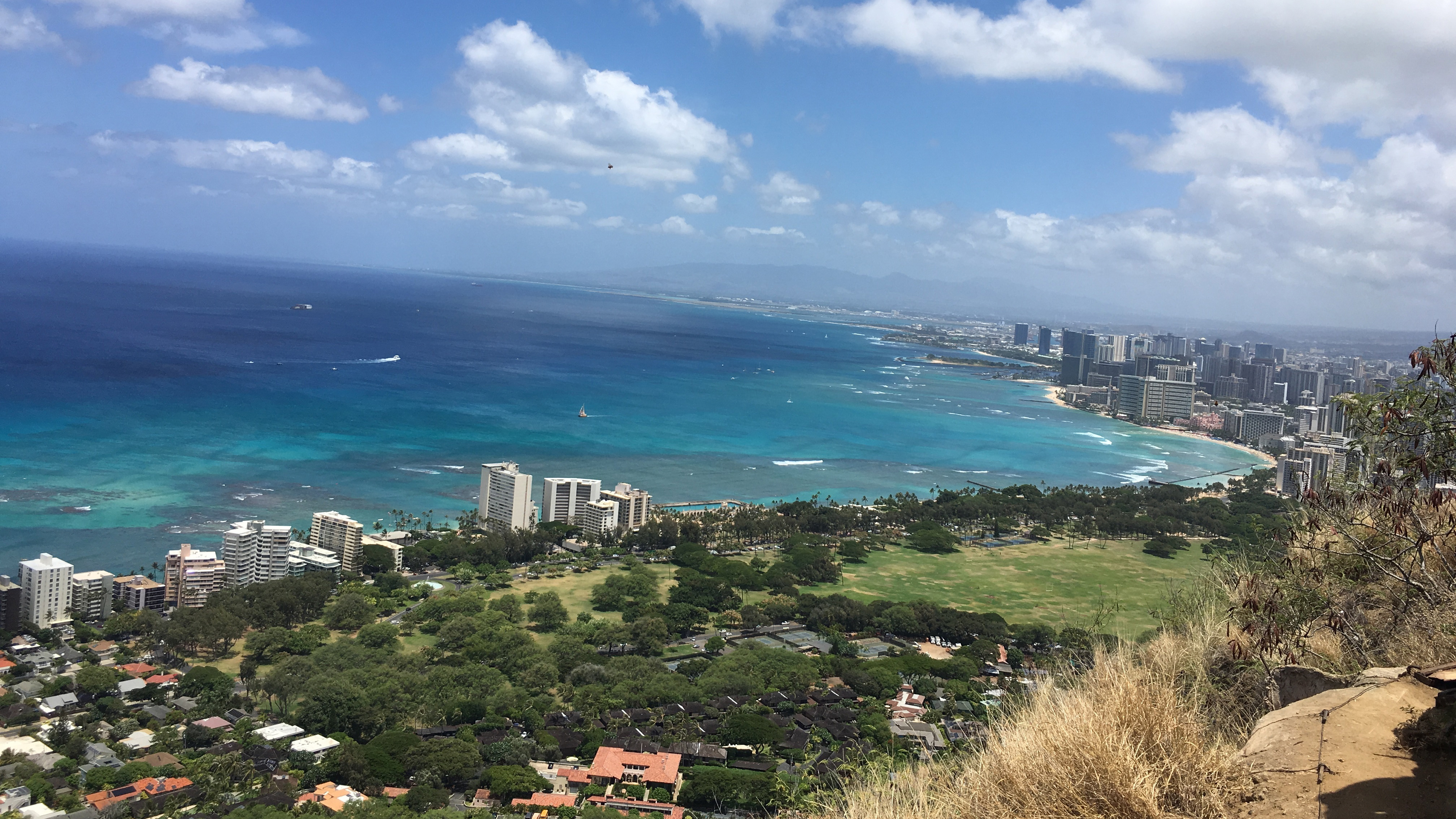
A massive earthquake and subsequent tsunami off Russia in late July tested an experimental detection system that had deployed a…

Data provided by the water satellite are helping to improve tsunami forecast models.
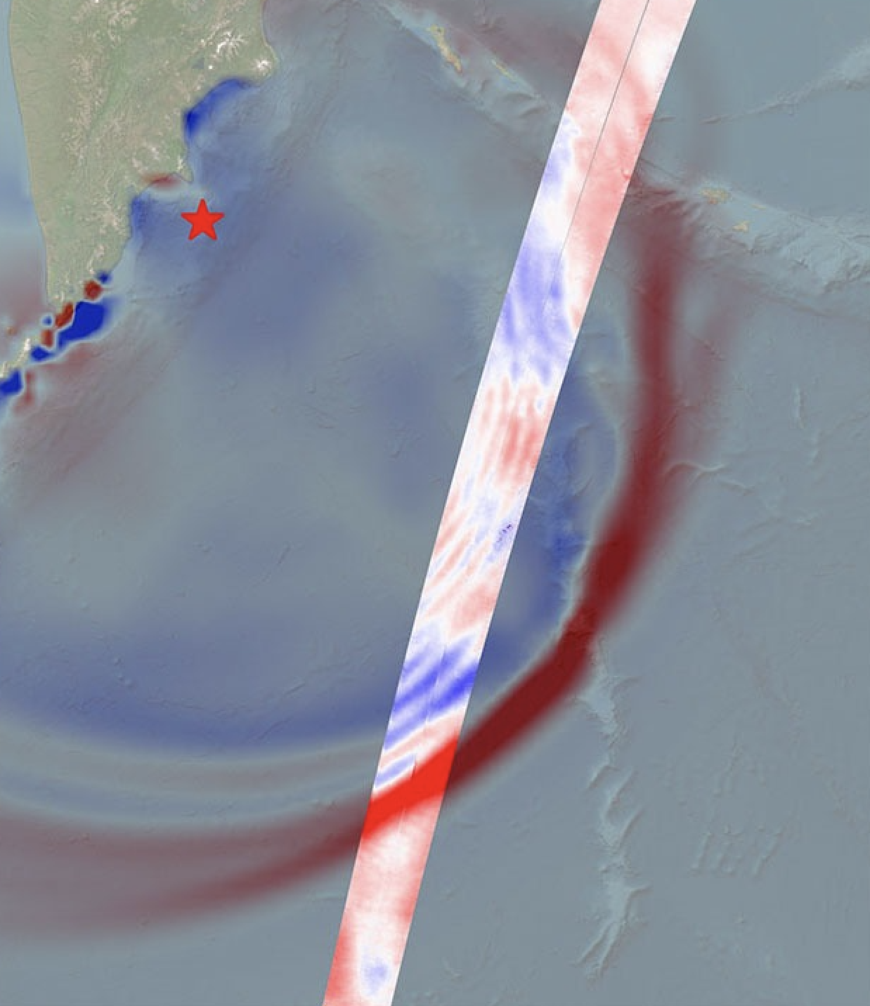
Data provided by the water satellite, a joint effort between NASA and the French space agency, is helping to improve…

Editor’s note: The caption for the OPERA portal image of uplift in the Gulf of California was updated on June 25,…

NASA scientists employed a pixel-tracking method to reveal how much the ground shifted during one of the largest documented surface…