![Request for Information – Potential [Placeholder for Prize]](https://assets.science.nasa.gov/dynamicimage/assets/science/psd/solar/2023/09/s/solarsystem_0.jpg?w=1024)


NASA’s C-20A Flights Advance Understanding of Earthquake Dynamics
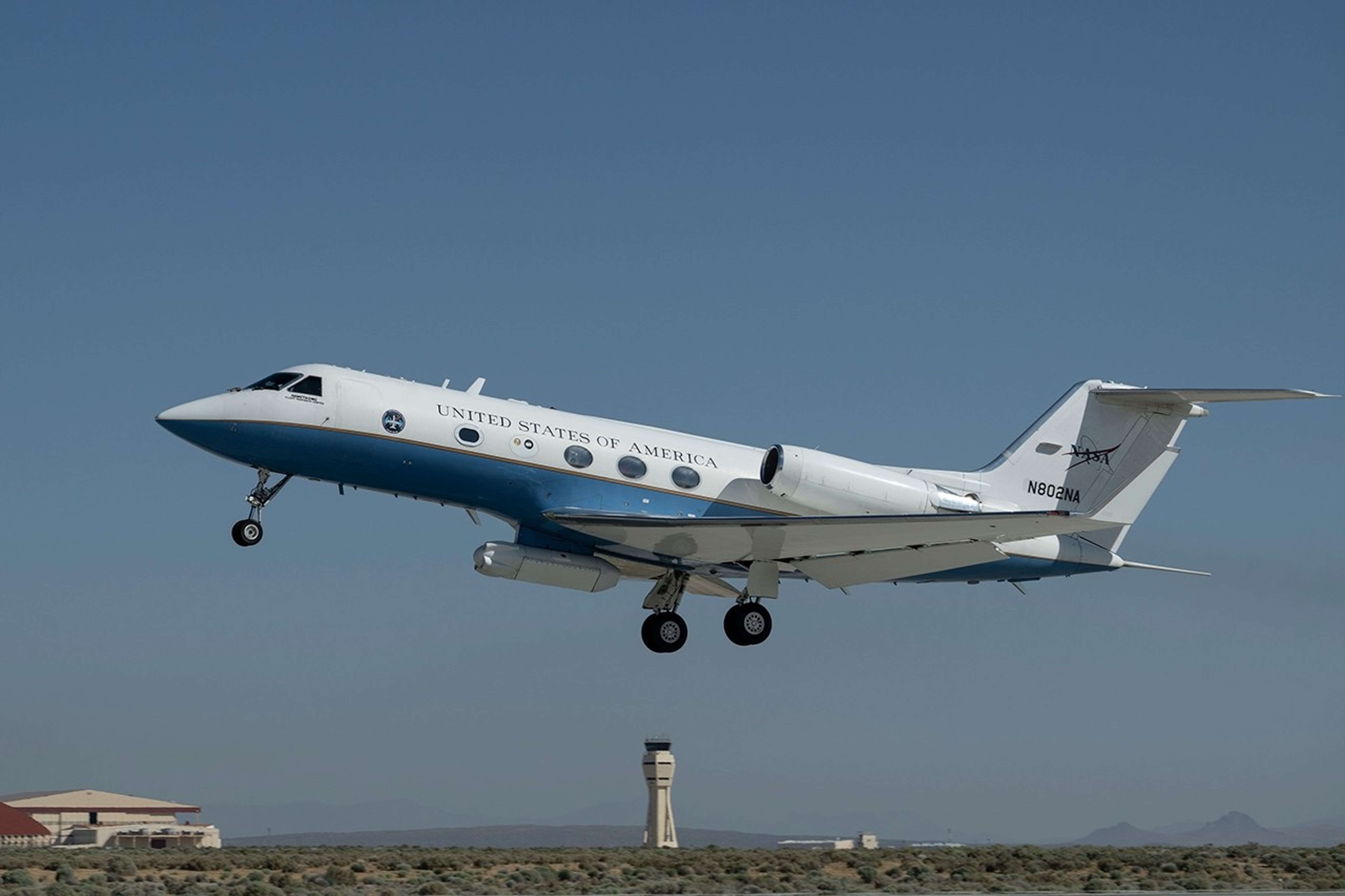
NASA’s C-20A aircraft completed a series of flights on April 29 over Central California to contribute new data to improve the accuracy of the region’s earthquake models and support NISAR (NASA-ISRO Synthetic Aperture Radar), the U.S.-India satellite mission launched last year to track hazards, monitor ecosystems and crops, and measure change in ice sheets and glaciers. The flights — part of an ongoing campaign that began Sept. 30, 2025, will include additional flights this year to build a longer time series — used airborne radar to measure ground movement along the San Andreas fault.
The C-20A, based at NASA’s Armstrong Flight Research Center in Edwards, California, carries the Uninhabited Aerial Vehicle Synthetic Aperture Radar (UAVSAR), an instrument developed at NASA’s Jet Propulsion Laboratory in Southern California. The UAVSAR flights were coordinated with NISAR’s orbit. Data from UAVSAR can help improve scientists’ understanding of how Earth’s atmosphere affects NISAR’s measurements.
During the flights, UAVSAR recorded surface motion driven by crustal deformation on the San Andreas fault and mapped land subsidence in the Central Valley caused by groundwater withdrawal. The campaign was part of a six-month effort to calibrate NISAR’s L-band radar and validate the instrument’s measurements, which will cover nearly all the planet’s land and ice surfaces twice every 12 days. A joint mission between NASA and ISRO (Indian Space Research Organisation), NISAR was designed to study Earth’s most complex natural processes, including the subtle motions and deformation of the land around faults that can help researchers assess the likelihood of earthquakes.
~Jay Levine