![Request for Information – Potential [Placeholder for Prize]](https://assets.science.nasa.gov/dynamicimage/assets/science/psd/solar/2023/09/s/solarsystem_0.jpg?w=1024)


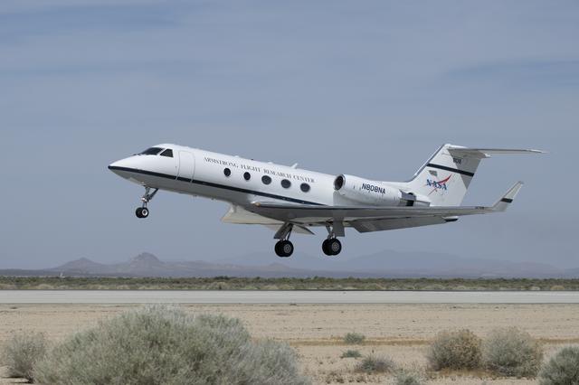
Gulfstream G-III
Filters
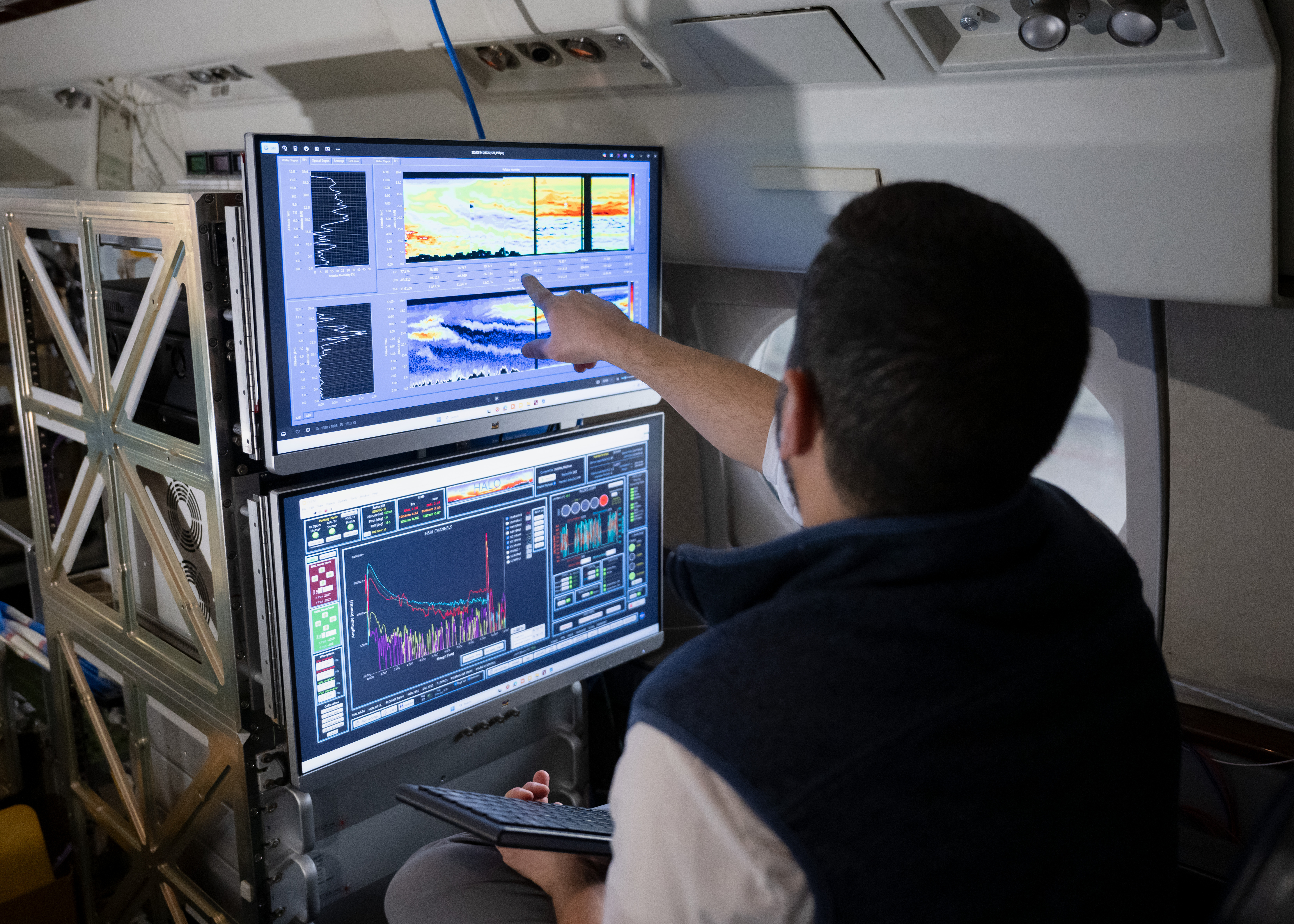
A team of NASA scientists deployed on an international mission designed to better understand severe winter storms. The North American…

A NASA F-15D flies chase for the G-III Adaptive Compliant Trailing Edge (ACTE) project. This photo was taken by an…
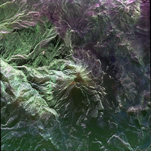
This false-color image of Peru's Ubinas volcano was acquired on April 14, 2014, by NASA's UAVSAR. Located about 100 miles…
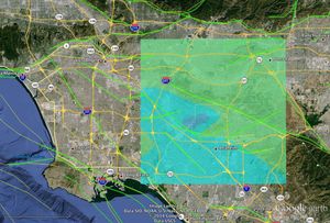
NASA Model Provides 3-D Look at L.A.-area 5.1 Quake

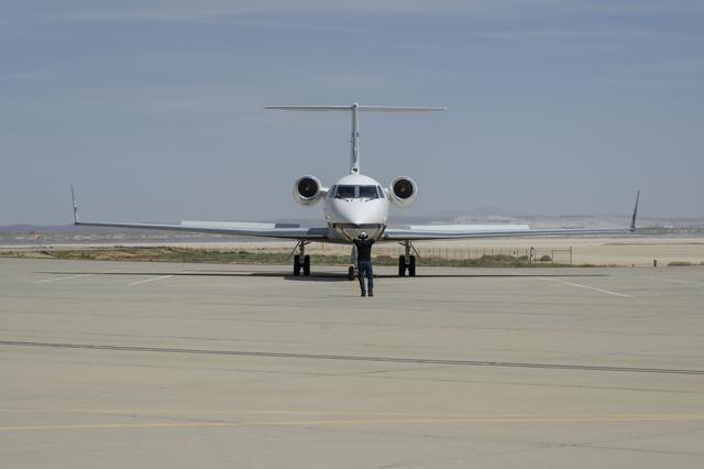
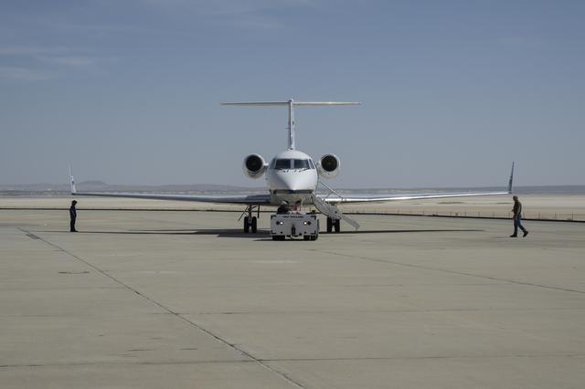
NASA’s Armstrong Flight Research Center in Edwards, California, operates a Gulfstream G-III aircraft, NASA tail number 804, as an aerodynamics…
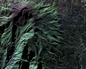
This false-color image of Colombia's Galeras Volcano, was acquired by UAVSAR on March 13, 2013. A highly active volcano, Galeras…
On March 17, 2013, NASA's Uninhabited Aerial Vehicle Synthetic Aperture Radar (UAVSAR) acquired synthetic aperture radar data over the Napo…

This false-color, oblique perspective image of the Slumgullion landslide in southwestern Colorado depicting its surface motion was created by data…

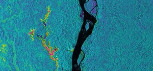
This radar image from NASA's Uninhabited Aerial Vehicle Synthetic Aperture Radar shows the deformed Earth caused by a 7.2 earthquake…