Landslide Reporter
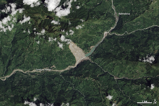
Landslides affect nearly all countries, killing people and destroying billions of dollars worth of property every year. The Landslide Reporter web application allows you to help improve scientific modeling and emergency response to mitigate these disasters. Through this application, you’ll contribute observations and reports to the largest open global landslide catalog, the Cooperative Open Online Landslide Repository (COOLR), used by researchers worldwide.
SAFETY NOTE: Make sure you are a safe distance away from any landslide you encounter. Even if a landslide appears to be over, there is still the possibility of falling rocks or unstable debris.
project task
Collecting data with smartphone
division
Earth Science
where
Online
launched
2018
What you'll do
- Share information on landslides you see or read about in the news!
- Be part of a global effort to better predict landslides.
- Share information to help improve NASA’s modeling of landslide risks and help scientists better understand the relationship between landslides and rainfall.
Requirements
- Time: 5-10 minutes
- Equipment: internet connected computer, tablet, or smartphone
- Knowledge: Basic knowledge of landslides
Get started!
- Did you see a landslide? Make sure you are a safe distance away from any landslide you encounter.
- Go to the Landslide Reporter online reporting form and prepare your report. (Note, when you put your cursor in data entry box, instructions on how to fill out that box will appear.)
Learn More
The NASA Global Precipitation Monitoring website has a lot of information about landslides. If you are interested in the model that Landslide Reporter contributions are used to verify, you can do so at the global landslide nowcast web portal.
Connect with us on social media:
Facebook: LandslideReporter
SciStarter: Join us on our project page
Connect with our Community Google Group: Landslide Reporter Community
More questions? Send them to landslide_support@nccs.nasa.gov.