Earth Science Missions
Seeing Earth from Space
NASA’s Earth Science Division (ESD) missions help us to understand our planet’s interconnected systems, from a global scale down to minute processes. Using observations from satellites, instruments on the International Space Station, airplanes, balloons, ships and on land, ESD researchers collect data about the science of our planet’s atmospheric motion and composition; land cover, land use and vegetation; ocean currents, temperatures and upper-ocean life; and ice on land and sea.
Active Missions
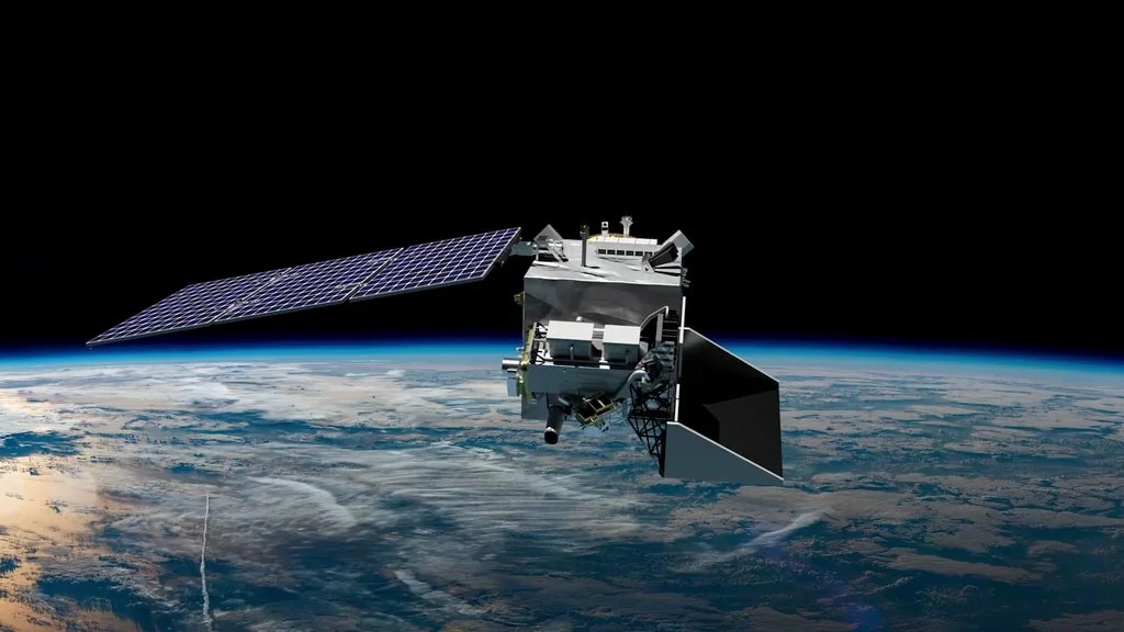
PACE (Plankton, Aerosol, Cloud, ocean Ecosystem) will help us better understand our ocean and atmosphere by measuring key variables associated with cloud formation, particles and pollutants in the air, and microscopic, floating marine life (phytoplankton). These observations will help us…
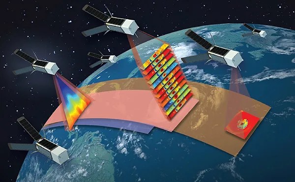
TROPICS (Time-Resolved Observations of Precipitation structure and storm Intensity with a Constellation of Smallsats) is a constellation of four identical CubeSats designed to observe tropical cyclones in a unique, inclined low Earth orbit over Earth’s tropics – an orbit that…

Terra, the flagship of NASA’s Earth Observing System satellites, studies the interactions among Earth's atmosphere, lands, oceans, and radiant energy, providing insight into how the Earth system is changing, revealing humanity's impact on the planet, and providing crucial data about…
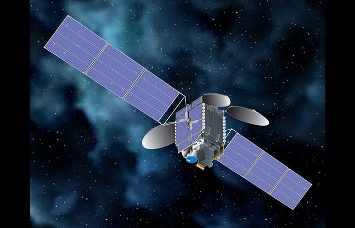
TEMPO (Tropospheric Emissions: Monitoring of Pollution) is the first space-based instrument to continuously measure air quality above North America with the resolution of a few square miles. It is a collaboration between NASA and the Smithsonian Astrophysical Observatory (SAO).
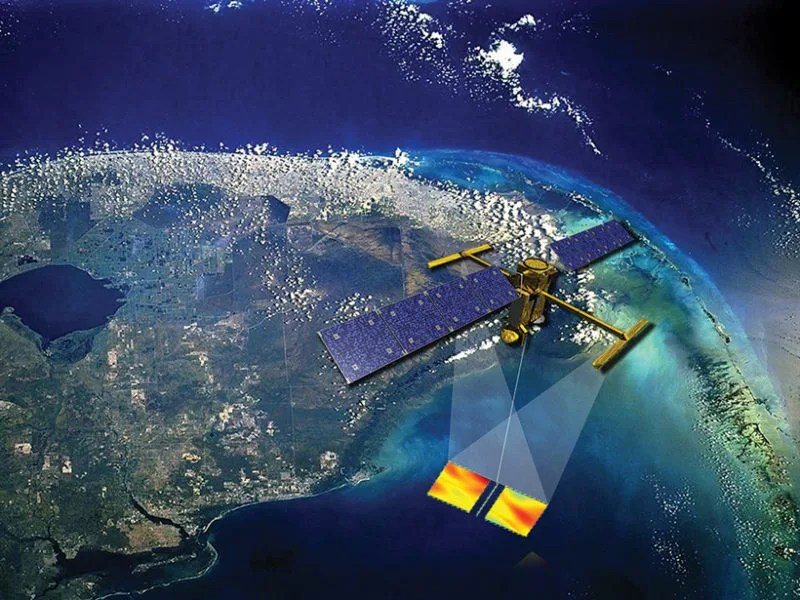
SWOT (Surface Water and Ocean Topography) makes the first global survey of Earth's surface water, observe the fine details of the ocean's surface topography, and measure how water bodies change over time.
Future Missions
Space Weather Follow On (SWFO) program develops and deploys operational satellite systems that study space weather and safeguard society.
GLIMR (Geosynchronous Littoral Imaging and Monitoring Radiometer) will be a space-based instrument that will help scientists observe and monitor ocean biology, chemistry, and ecology throughout the Gulf of Mexico, the southeastern U.S. coastline and Amazon River plume that stretches to…
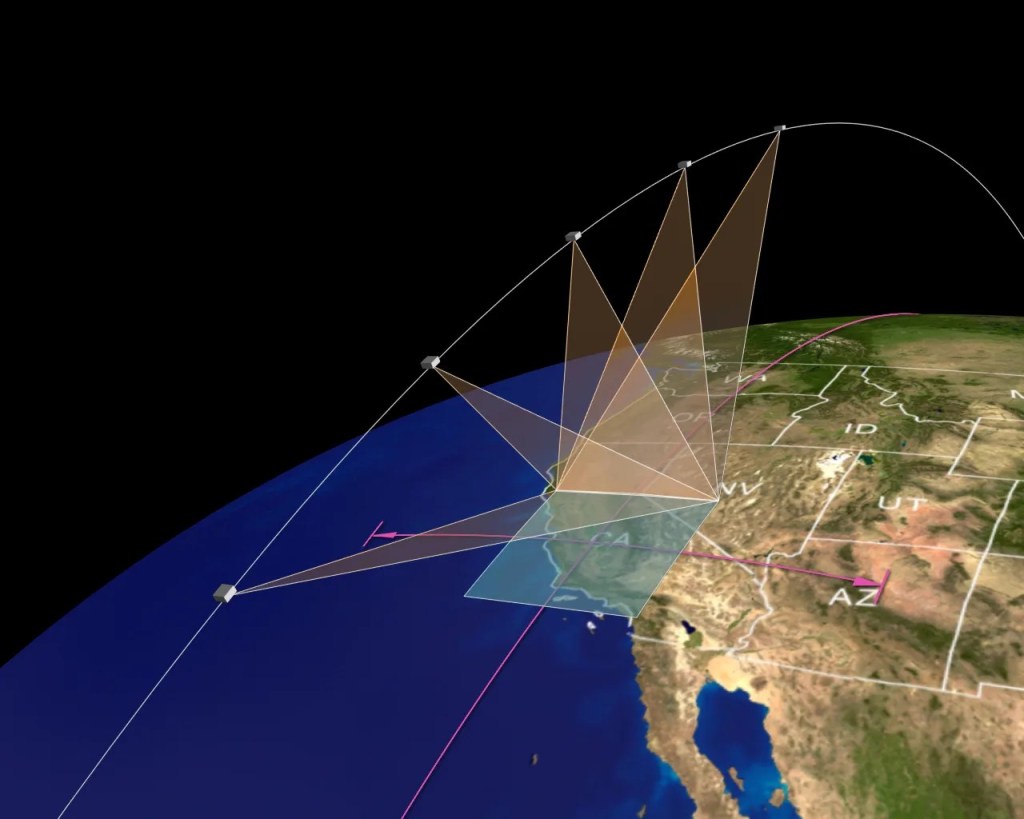
MAIA (Multi-Angle Imager for Aerosols) will study the size, makeup, and quantity of airborne particles, to show how this pollution affects pregnancy, asthma, and other conditions, and causes harm in the long- and short-term.
Monitoring Earth Via Satellite
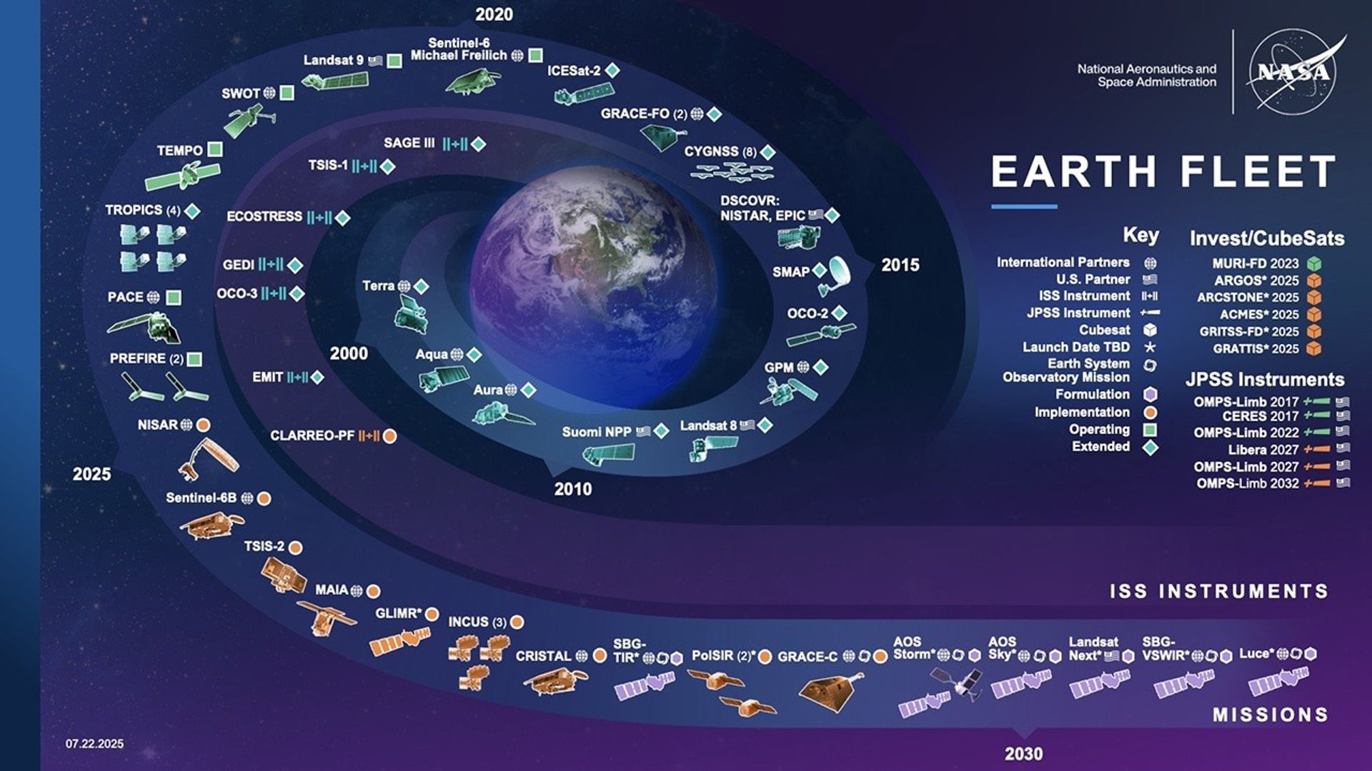
An animated view of NASA's Earth observing fleet, as it looks today. This 30 second visualization is updated once per day. Time shown in UTC.


