
Mission
To advance scientific understanding of Earth’s interconnected systems by integrating NASA’s satellite, airborne, surface, and partner datasets; developing predictive models and data analysis tools; and disseminating peer-reviewed discoveries, tools, and insights to improve societal outcomes.
Overview
NASA’s Earth System Science Research Program (ESSRP), formerly known as the Research & Analysis (R&A) Program, advances Earth system science by enabling the use of satellite, airborne, and ground-based observations, along with modeling approaches, to improve understanding of Earth processes. In collaboration with domestic and international partners, ESSRP ensures that findings inform NASA missions, are published in peer-reviewed literature, and are shared with the broader scientific community and public.
ESSRP supports research pertaining to five Earth science spheres: Atmosphere, Biosphere, Cryosphere, Geosphere, and Hydrosphere. Details on the key research questions, relevant satellite and airborne missions, satellite calibration and validation efforts, research opportunities, research programs, and upcoming meetings and events corresponding to each science sphere can be found below.
Science Spheres


Biosphere
Biosphere provides foundational knowledge on interactions between and within terrestrial and aquatic ecosystems, along with changes in their biogeochemistry and biodiversity. The goal is to detect and predict natural and human-induced changes in living systems to sustain the services they provide and ensure planetary health for future generations.

Cryosphere
Cryosphere investigates polar ice, including the Antarctic and Greenland ice sheets, polar glaciers, and sea ice in the Arctic and Southern Oceans, with a focus on satellite and airborne observations. Cryosphere also seeks to improve our understanding of processes, advance prediction, and link the cryosphere to the Earth system.

Geosphere
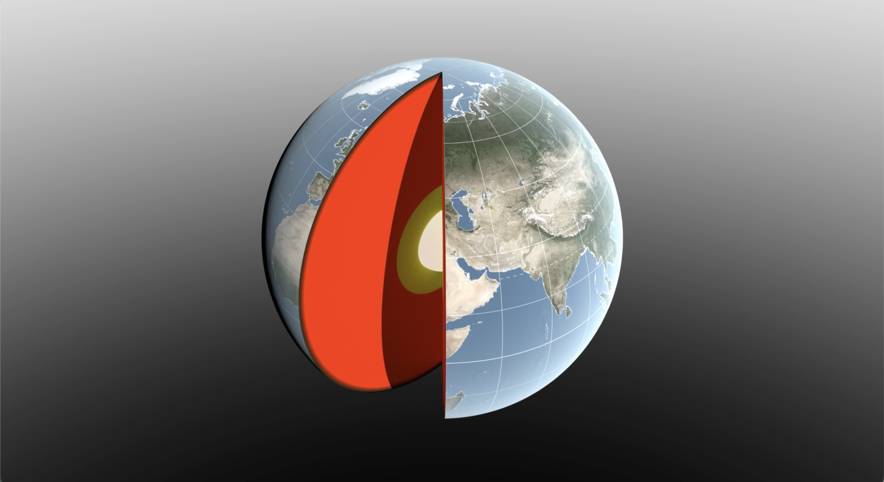
Geosphere studies processes and changes in the Earth’s core, mantle, and crust along with surface topography, composition, and geology, as well as the hazards they generate. Geosphere relies on essential measurements including InSAR, GNSS, lidar, gravity, optical, thermal, and hyperspectral observations.

Hydrosphere
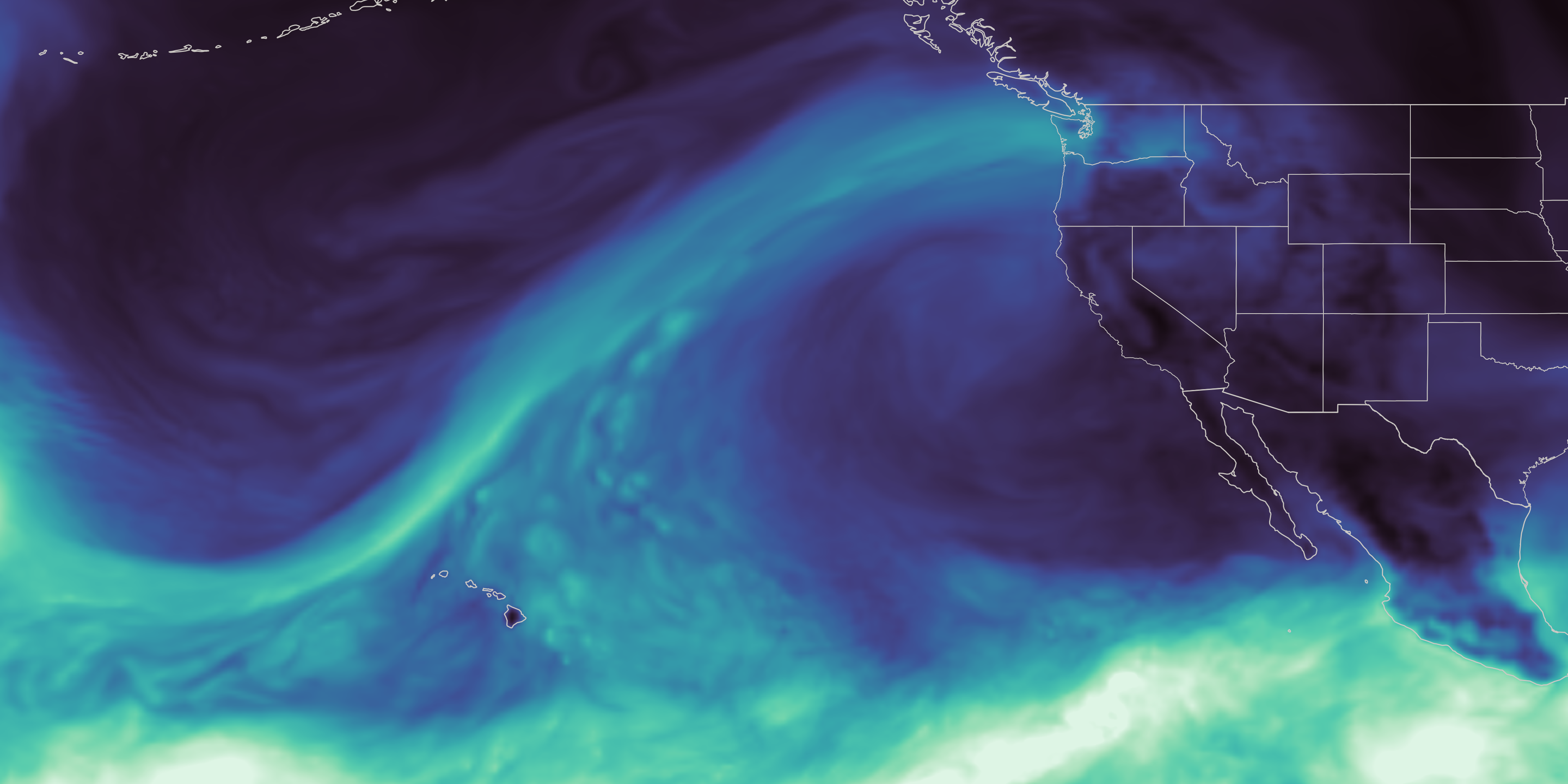
Hydrosphere improves the observation, understanding, and prediction of the distribution and movement of water in the Earth System. Specifically, NASA Hydrosphere studies water and energy cycles across land, ocean, and the atmosphere through the integration of measurements from satellites, surface networks, and airborne campaigns.
Enabling Capabilities

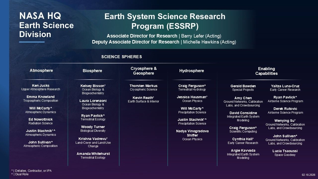
Research Leadership
 |  |
| Dr. Barry Lefer | Dr. Michelle Hawkins |
| Associate Director for Research, NASA ESD at Headquarters | Deputy Associate Director for Research, NASA ESD at Headquarters |
Irreversible ground deformation in the Sacramento Valley
Satellite observations of water-mass change from GRACE/-FO and land-surface displacements from GNSS and InSAR reveal that large areas of the Sacramento Valley abruptly transitioned from reversible to irreversible compaction over the 2020-2022 California drought—a transition not anticipated from the groundwater monitoring network alone.
Review the publication
Featured News



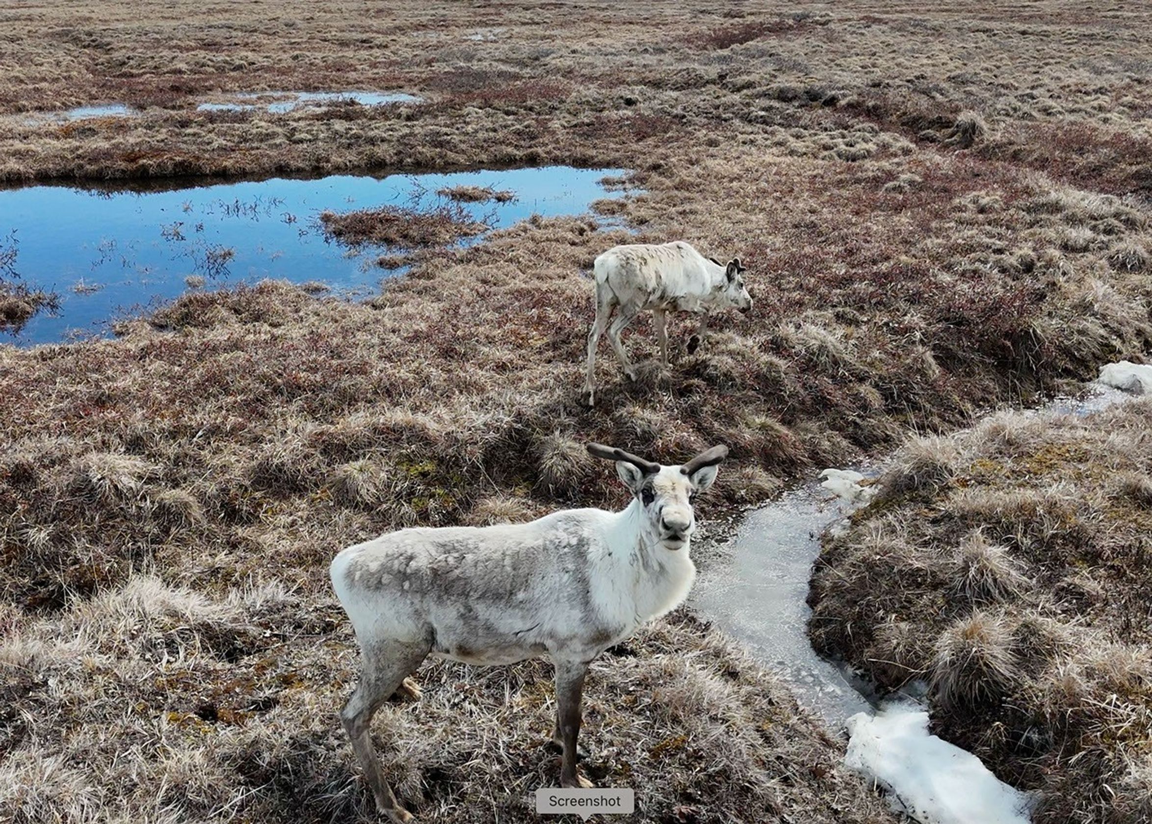

Earth Observatory Image of the Day
Drought and an ailing aquifer were major topics of conversation when NASA scientists visited with farmers in the Texas High…
Satellite records show Arctic sea ice covering less of the ocean in both winter and summer.
Dissolved organic matter and suspended sediment mingle in the southernmost extent of James Bay.