


Earth Science Research News
Earth News and Information
Filters
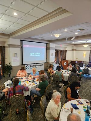
Implementing place-based and data-rich instruction requires navigating a complex tug-of-war between place, data, phenomena, science, and a variety of other foci. Supporting teachers to navigate their place-based, data-rich journeys using NASA resources presents incredible opportunities for linking locally relevant issues,…

With the end of summer approaching in the Northern Hemisphere, the extent of sea ice in the Arctic shrank to its annual minimum on Sept. 10, according to NASA and the National Snow and Ice Data Center. The total sea…
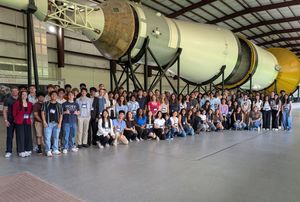
The NASA STEM (Science, Technology, Engineering, and Mathematics) Enhancement in Earth and Space Science (SEES) Internship Program at the University of Texas Center for Space Research is a national high school research experience that provides students with direct access to…
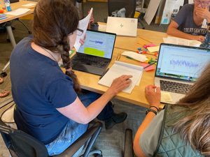
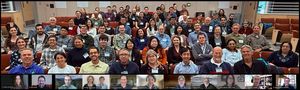
One of the challenges many teachers face year after year is a sense of working alone. Despite the constant interaction with students many questions often linger: Did the lesson stick? Will students carry this knowledge with them? Will it shape…

A massive earthquake and subsequent tsunami off Russia in late July tested an experimental detection system that had deployed a critical component just the day before. A recent tsunami triggered by a magnitude 8.8 earthquake off Russia’s Kamchatka Peninsula sent…

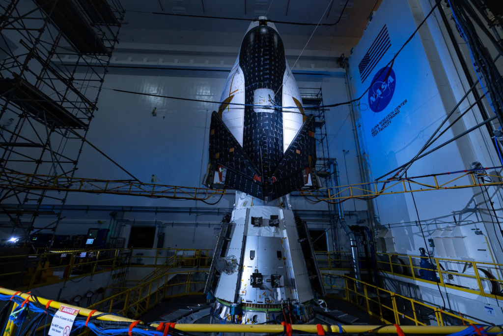
Sea surface height data from the Sentinel-6B satellite, led by NASA and ESA, will help with the development of marine weather forecasts, alerting ships to possible dangers. Because most global trade travels by ship, accurate, timely ocean forecasts are essential.…
NOTE TO READERS: After more than three decades associated with or directly employed by NASA, Steve Platnick [GSFC—Deputy Director for Atmospheres, Earth Sciences Division] stepped down effective August 8, 2025. Steve began his civil servant career at GSFC in 2002,…
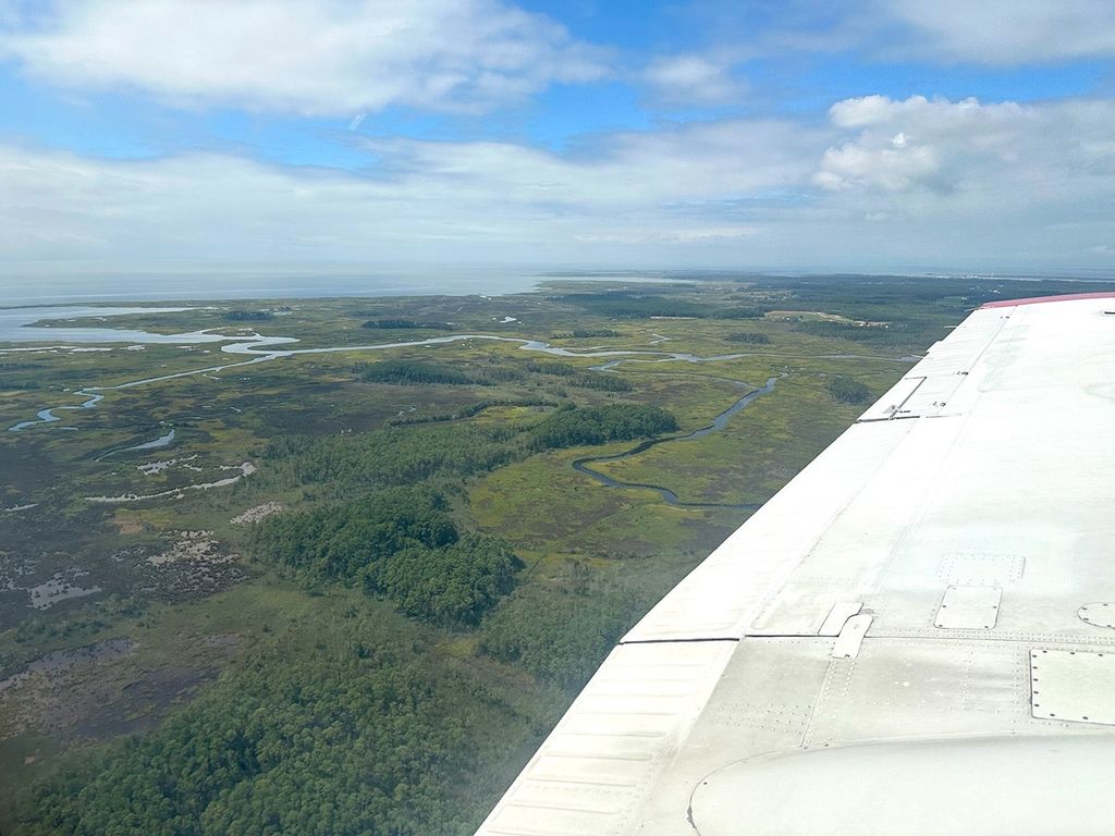
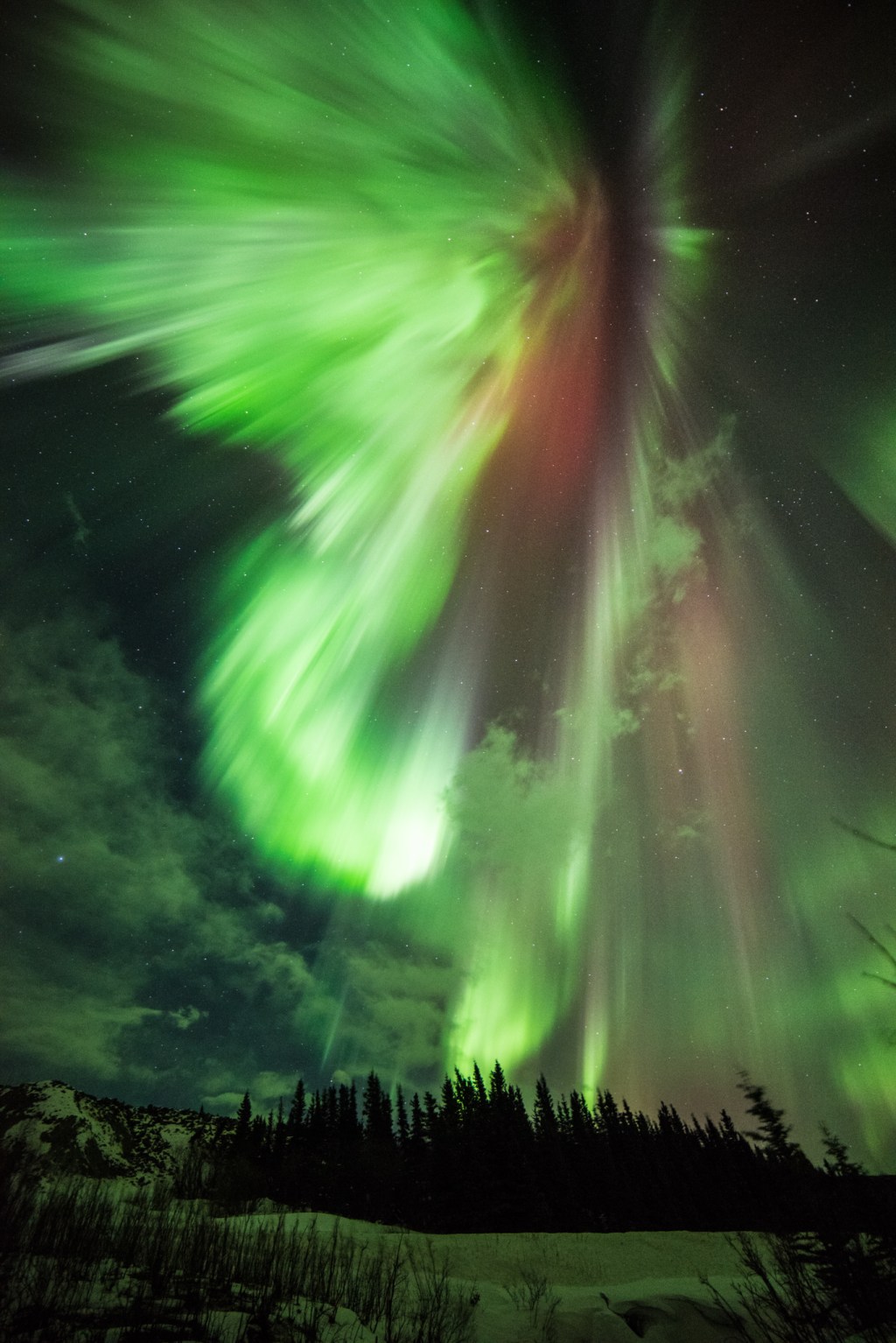
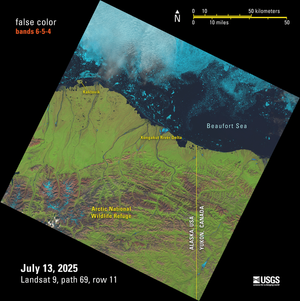
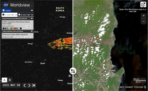
Introduction The NASA Arctic–Boreal Vulnerability Experiment (ABoVE) is a large-scale ecological study in the northern regions of North America (Alaska and western Canada) that was developed to understand environmental changes in the region and the implications of those changes for…
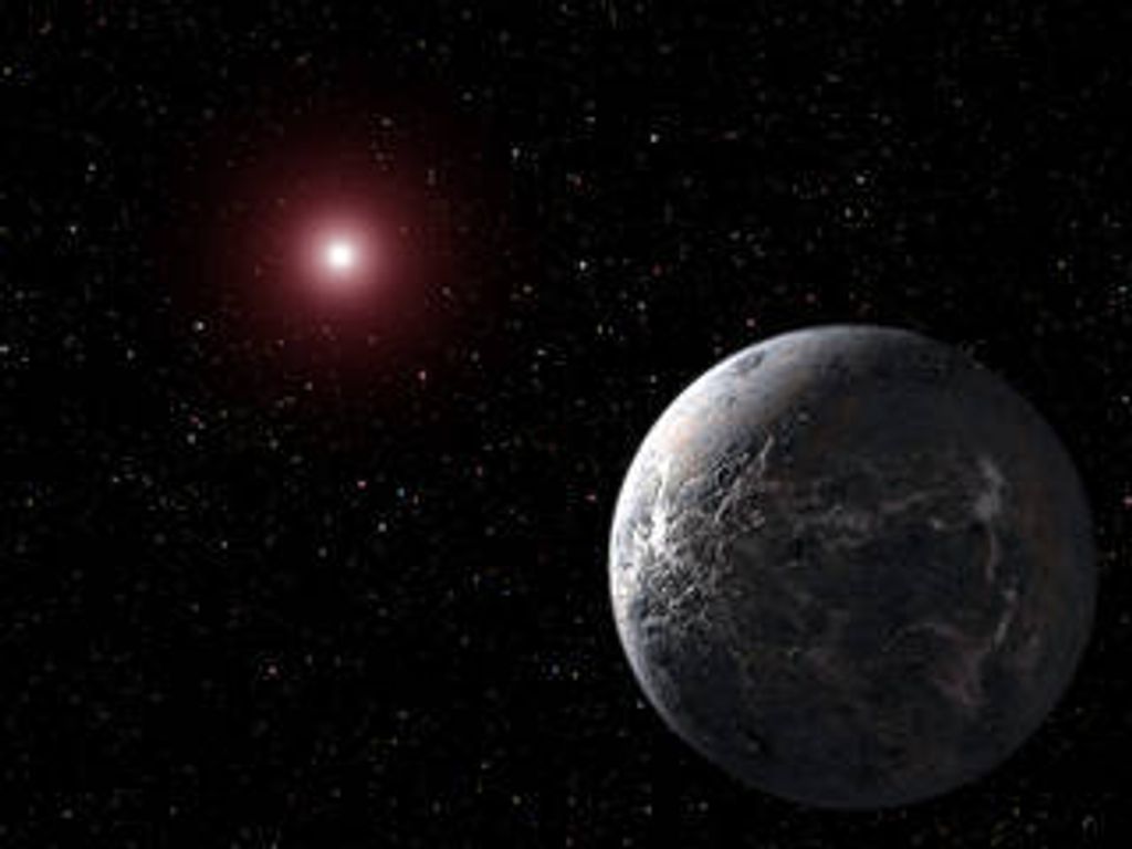
Benedetta Facini has participated in not one, but many NASA citizen science projects: Cloudspotting on Mars, Active Asteroids, Daily Minor Planet, GLOBE, Exoasteroids and International Astronomical Collaboration (IASC). Now, she might got to space, as she was selected as part…
Introduction Landsat, a joint program of NASA and the U.S. Geological Survey (USGS), has been an invaluable tool for monitoring changes in Earth’s land surface for over 50 years. Researchers use instruments on Landsat satellites to monitor decades-long trends, including…