


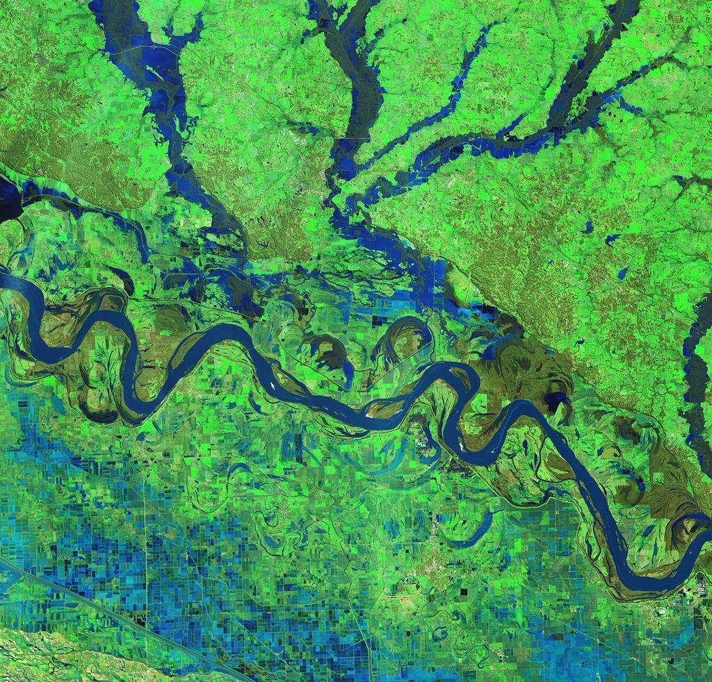


Keeping False Pass True
For three ice-free months a year, False Pass provides a shortcut for fishermen making their way between the Gulf of Alaska and the Bering Sea. This easternmost passageway—via Ikatan Bay, Isanotski Straight, and Bechevin Bay—is 70 km (37.8 nm) closer than the next crossing place at Unimak Pass. But in the Arctic, near-shore changes occur rapidly and can lead to maritime mishaps. The location of sandbars and channels can shift significantly because of the movement and melting of ice, seasonal sedimentation, and erosion. So each year, before vessels start to use False Pass, the U.S. Coast Guard must send out buoy tenders to mark the shifting channels. New remote sensing techniques might make that job easier and more accurate.


