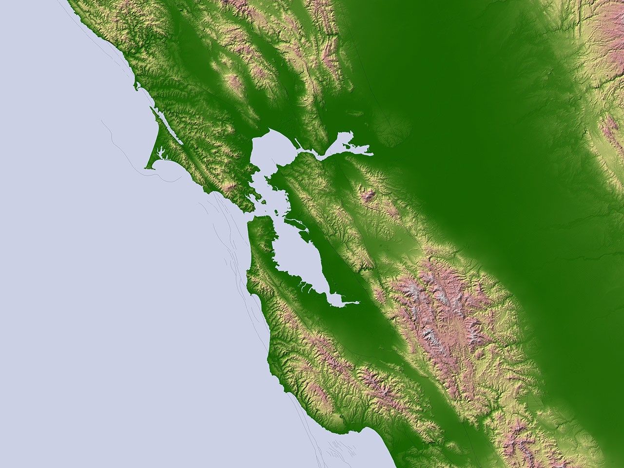
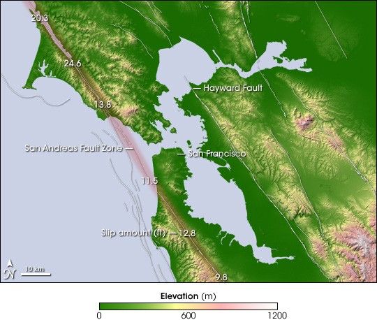
Along the coast of California, the tectonic plateunderlying the Pacific Ocean and the plate harboring the North Americanlandmass meet at the San Andreas Fault. Intense pressure builds up along thefault as the two plates grind past each other, the Pacific Plate movingnorthwest relative to the North American Plate. On the morning of April 18,1906, the pent-up pressure was released in a major earthquake that thunderedacross coastal California. The earthquake ruptured the ground for 296 miles(477 kilometers) along the northernmost section of the San Andreas Fault,and the ground surfaces on either side of the rupture slipped more than 20feet away from each other in some places. The quake set off a catastrophicfire in San Francisco that devastated the city.
This image shows the topography of the region using data fromNASA’s Shuttle Radar Topography Mission. Low elevations are green,with yellow, pink, and white representing progressively higher elevations.Major geologic faults are marked with white lines. The San Andreas Faultruns in a northwest-southeast line along the coast. The numbers on the faultline indicate how far the ground surface slipped at that location as aresult of the 1906 earthquake. Also labeled in the image is the HaywardFault on the eastern side of San Francisco Bay. The Hayward is one of thefaults with a high likelihood of a major earthquake in coming decades. Thatfault runs through Oakland and Berkeley.
- The Great 1906San Francisco Earthquake from the U.S. Geological Survey
References & Resources
NASA image created by Jesse Allen, Earth Observatory, using SRTM data obtained courtesy of the University of Maryland’s Global Land Cover Facility . GIS data obtained from the United States Geological Survey