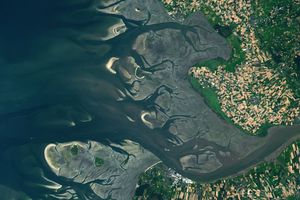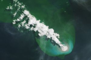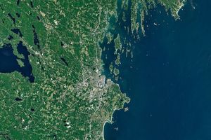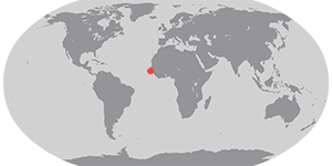
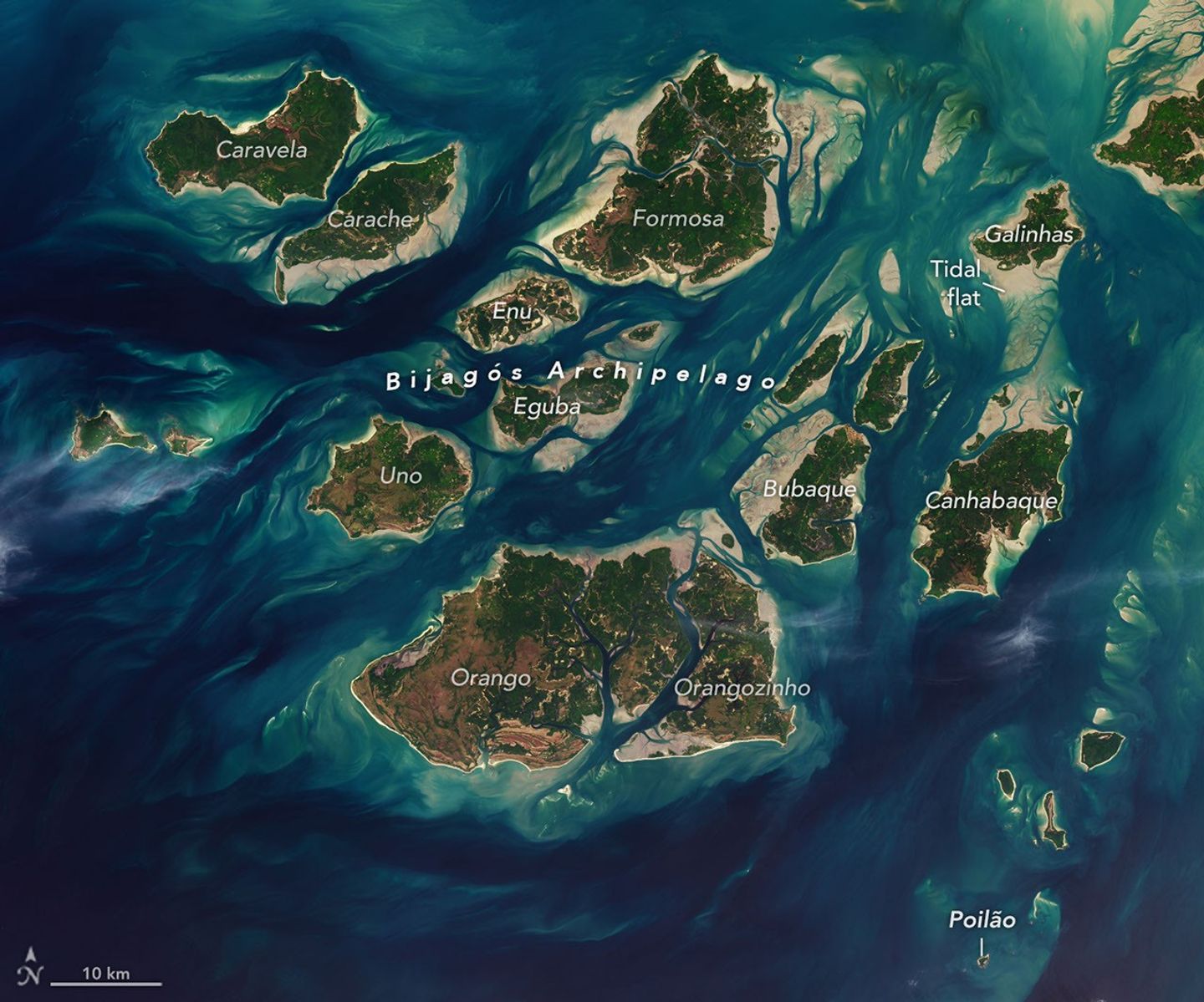
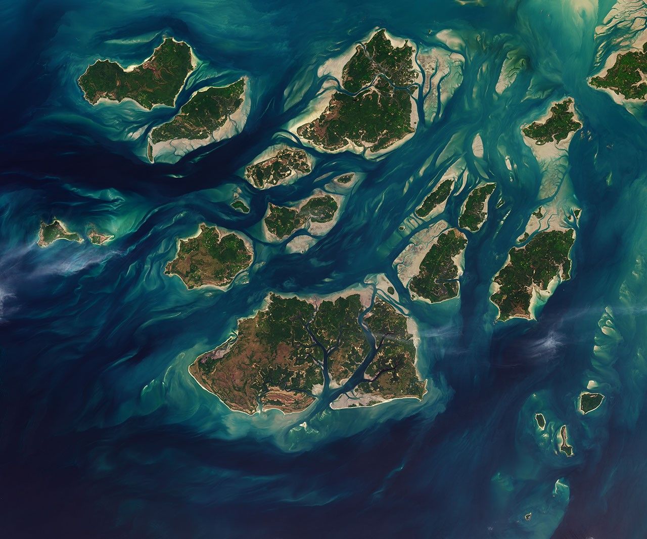
Twice each day, tides ebb and flow through a maze of sandy channels, mudflats, and mangrove forests that flank the 88 islands and islets of Guinea-Bissau's Bijagós Archipelago (Arquipélago dos Bijagós in Portuguese). Seen from above, the process leads to stark changes to the landscape: around low tide, intertidal mudflats and sandflats emerge from the sea, causing islands to grow significantly before shrinking again hours later.
The perpetual rhythm of the tides sustains outpourings of marine life in an archipelago that, as of 2025, was inscribed as a UNESCO World Heritage site. The site protects the only active deltaic archipelago on Africa's Atlantic coast, a place where tides, river sediments, coastal upwelling, and coastal currents come together to shape unusually productive and biodiverse island ecosystems.
UNESCO estimates that the islands support some 870,000 migratory shorebirds, making this one of the most important feeding areas for birds in West Africa along the East Atlantic Flyway. Hundreds of species of birds dine on a potpourri of marine worms, crustaceans, mollusks, and small fish found on mudflats exposed by low tides. During high tides, manatees, dolphins, and schools of fish move closer to the islands, pushing deeper into the mangrove forests that ring them, and tens of thousands of sea turtles swim inland to sandy beaches as they hunt for nesting sites.
A huge population of green sea turtles nests on the tiny island of Poilão, part of the João Vieira and Poilão Marine National Park. After hatching, young turtles make perilous nighttime dashes to the water, often pursued by crabs, lizards, and birds. Once they reach the water, baby sea turtles face an array of predators, including jacks, barracudas, groupers, and snappers that patrol shallow waters as well as tuna, mackerel, sharks, and rays in deeper waters. According to some estimates, less than 1 percent of green sea turtle hatchlings survive to adulthood.
A 2025 analysis of the region's tides explored why the archipelago has some of the largest tidal ranges in West Africa. The researchers concluded that the region's wide, shallow shelf and the estuary’s geometry combine to create a tidal range of up to 7 meters (23 feet), compared to about 1 meter (3 feet) in many other parts of the West African coast. The scientists used altimetry data from the NASA/CNES TOPEX/Poseidon, Jason-1, and Jason-2 satellites to help validate their findings.
NASA Earth Observatory images by Lauren Dauphin, using Landsat data from the U.S. Geological Survey. Story by Adam Voiland.
References & Resources
- Campredon, P. & Catry, P. (2016) Bijagos Archipelago (Guinea-Bissau) in The Wetland Book. (Springer, Dordrecht).
- Dièye, A., et al. (2025) Tidal amplification and distortion in Guinea-Bissau, West Africa. Estuarine, Coastal and Shelf Science, 320, 109318.
- Hays, G., et al. (2026) Is it really 1 in 1000 sea turtle hatchlings that survive to adulthood? Royal Society Open Science, 13(1), 251563.
- The New York Times (2024, April 22) A Remote Island Draws Thousands of Turtles Each Year. Could It Attract Tourists? Accessed July 16, 2026.
- Oceanus (2025, January 30) How will we ever count them all? Accessed July 16, 2026.
- UNESCO (2025) Coastal and Marine Ecosystems of the Bijagós Archipelago – Omatí Minhô. Accessed July 16, 2026.