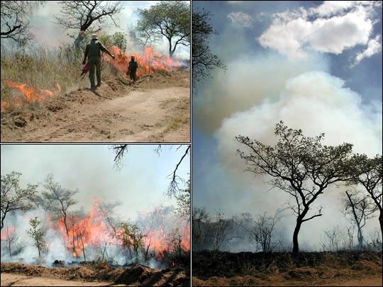
The South African Regional Science Initiative (SAFARI 2000) is a scientificstudy integrating satellite, airborne, and ground measurements of southern Africa.The purpose of SAFARI is to better understand the relationships between climate change,human activity, and the region’s ecosystems. SAFARI scientists are studyingaerosols, air pollution, biomass burning, clouds, land-cover change, meteorology,trace gases, terrestrial ecology, and water resources.
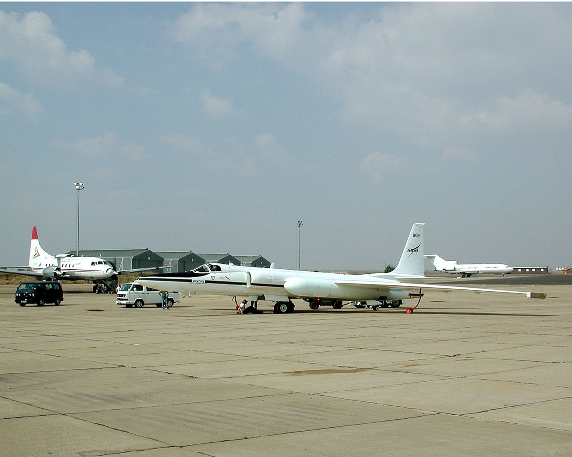
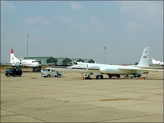
This photograph shows two of the aircraft participating in SAFARI at theirtemporary home in Pietersburg, South Africa—NASA’s ER-2 (foreground)and the University of Washington’s Convair-580 (left). The ER-2 is a highaltitude research aircaraft based on the U2 spyplane with a range of 3,000 miles(4800 km) and a maximum altitude over 65,000 feet (19.8 km). The aircraft carries simulators forthe Moderate Resolution Imaging Spectroradiometer (MODIS), Multi-angle ImagingSpectroradiometer (MISR), and Measurements Of Pollution In The Troposphere (MOPITT)instruments aboard Terra. The ER-2 also carries several other instruments to remotely sense anddirectly measure the atmosphere.
The Convair-580 is a much bigger plane capable of carrying a large numberof scientists and instruments. For SAFARI 2000, itwill carry an extensive complement of instruments to study aerosols,cloud properties, atmospheric chemistry, and meteorology. After spendingsix weeks in Pietersburg starting August 12, 2000, it will move to Namibiato study stratus clouds.
To learn more about SAFARI 2000, visit the SAFARI homepage,and read updates from Africa.
References & Resources
Photograph by EOS Project Science Office