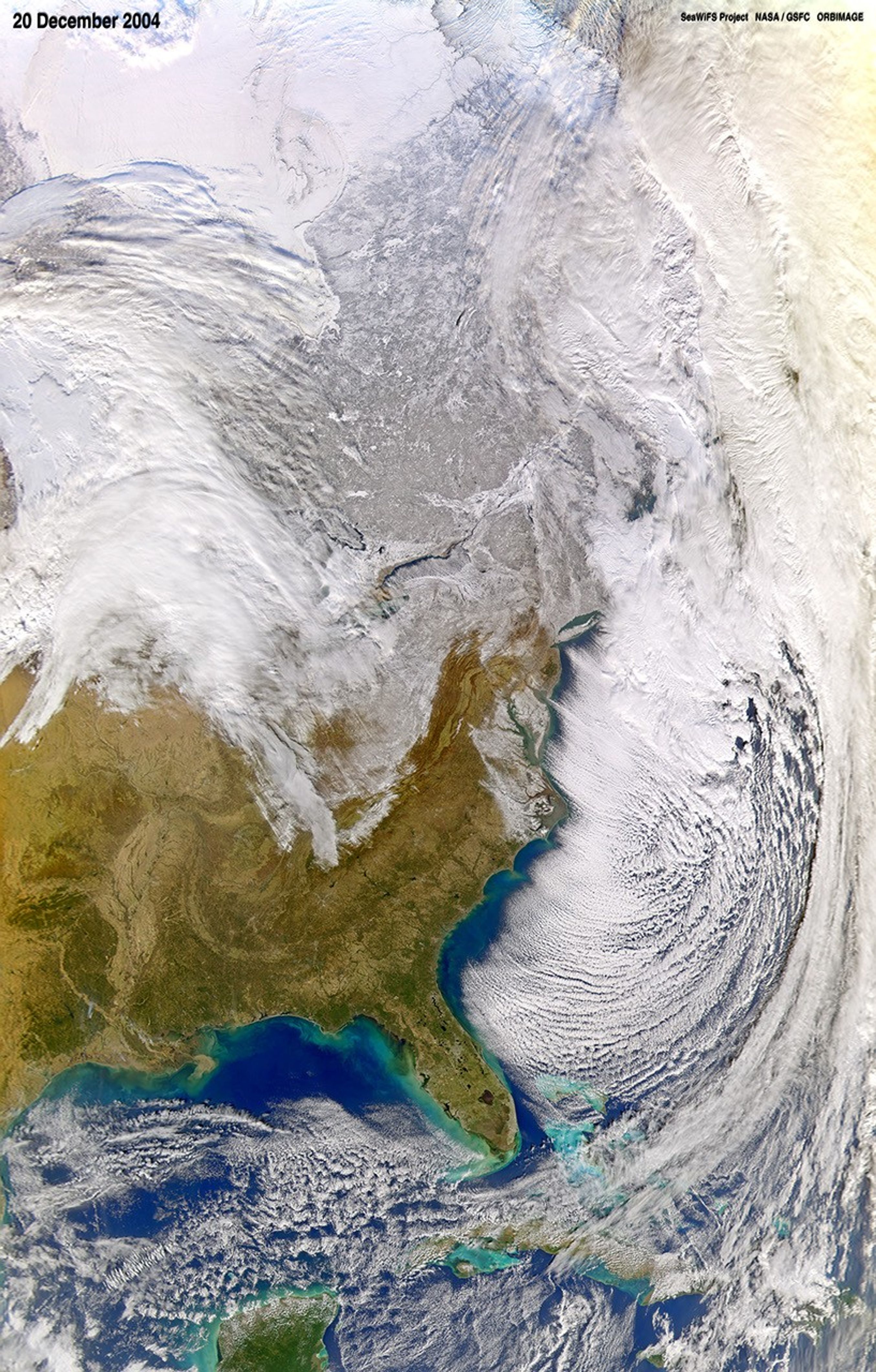
Winter blasted the Eastern United States one day before winter’s solstice as chilly Arctic air swept over the region. The snow that fell over the northeast, in the mid-Atlantic states and across the Appalachian Mountains in the Midwest can be seen in this image, taken by the Sea-viewing Wide Field-of-view (SeaWiFS) Sensor flying on the OrbView-2 satellite on December 20, 2004. The clouds patterns also attest to the frigid winter weather. All of the clouds along the eastern seaboard seem to be shaped by strong winds blowing out of the northwest. Clouds over Lake Ontario, just above the center of the image, show a similar pattern, indicating that cold northern winds probably dominated the entire eastern half of the country. To the north, winter seems to have an icy grip on Canada as well. The country is covered with a white blanket of snow.
References & Resources
NASA image courtesy the SeaWiFS Project, NASA Goddard Space Flight Center, and ORBIMAGE. NOTE: All SeaWiFS images and data are for research and educational use only. All commercial use of SeaWiFS data must be coordinated with ORBIMAGE.