


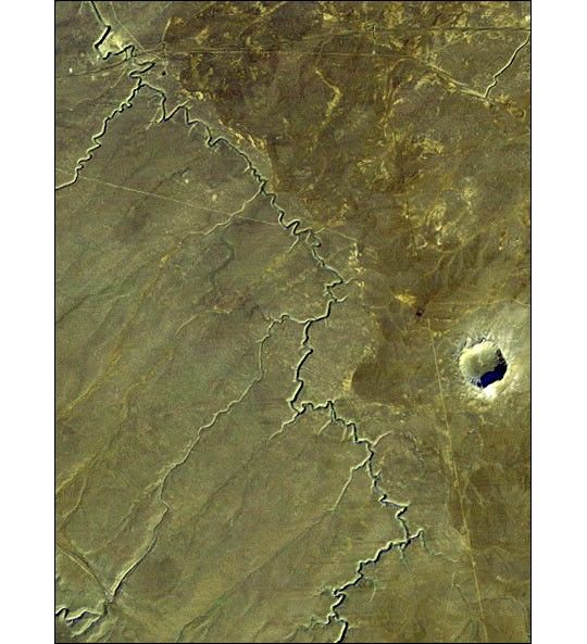
Barringer Crater, also known as “Meteor Crater,” is a 1,300-meter (0.8mile) diameter, 174-meter (570-feet) deep hole in the flat-lying desertsandstones 30 kilometers (18.6 miles) west of Winslow, Arizona. Sincethe 1890s geologic studies here played a leading role in developing anunderstanding of impact processes on the Earth, the moon and elsewherein the solar system. This view was acquired by the Landsat 4 satelliteon December 14, 1982. It shows the crater much as a lunar crater mightappear through a telescope. Morning sun illumination is from thesoutheast (lower right). The prominent gully meandering across the sceneis known as Canyon Diablo. It drains northward toward the LittleColorado River and eventually to the Grand Canyon. The Interstate 40highway crosses and nearly parallels the northern edge of the scene. Theejecta blanket around the crater appears somewhat lighter than thesurrounding terrain, perhaps in part due to its altered mineralogiccontent. However, foot traffic at this interesting site may have scarredand lightened the terrain too. Also, the roughened surface here catchesthe sunlight on the southerly slopes and protects a highly reflectivepatchy snow cover in shaded northerly slopes, further lightening theterrain as viewed from space on this date.
Image Size: 16.9 km x 12.5 km
Colors: Bands 1 (blue), 2 (green) + 4 (near infrared), 3 (red)in blue, green, and red, respectively.
Note: This image was scanned from physical media.
For information about the Landsat series of satellites,see the Landsat 7 Gateway.
References & Resources
Image courtesy Jet Propulsion Laboratory Planetary Photojournal
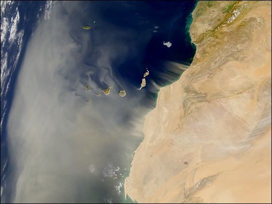
None


