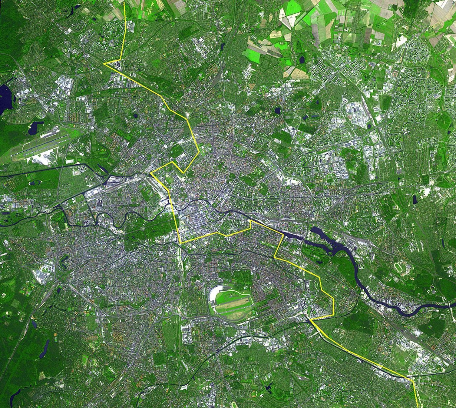
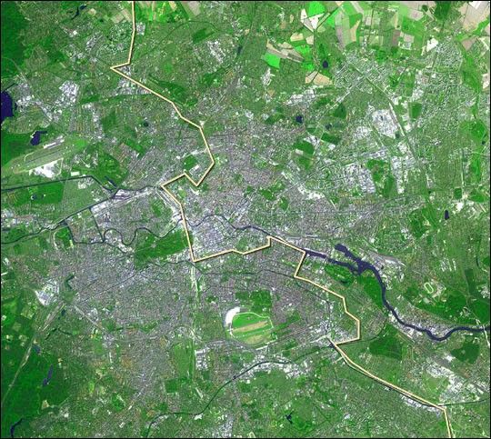
Inhabited since medieval times, the city of Berlin grew up out of settlements along the Spree River in a region of Europe long known as “the Mark of Brandenburg.” From its first recorded settlements in 1237, Berlin has grown into the capital and biggest city of Germany. It has a population of about 3.5 million and extends over 889 square kilometers. The Spree River runs horizontally through the center part of the scene. To the left of center, on the south side of the Spree, is the city’s Tiergarten, a large park in central Berlin. The park and gardens are an oasis of green amid the city’s dense urban development, which appears gray in the image. At upper right, a patchwork of fields is visible.
Berlin was the capital of Prussia until 1945 and the capital of Germany between 1871 and 1945 and again since the reunification of Germany on October 3, 1990. Between 1949 and 1990, it was divided into East Berlin, the capital of the German Democratic Republic, and West Berlin. The city was divided by the Berlin Wall (yellow line on image) until November 9, 1989.
This simulated natural color ASTER image covers an area of 22.5 by 20.2 km, and was acquired August 22, 2002.
References & Resources
Image courtesy NASA/GSFC/MITI/ERSDAC/JAROS, and U.S./Japan ASTER Science Team