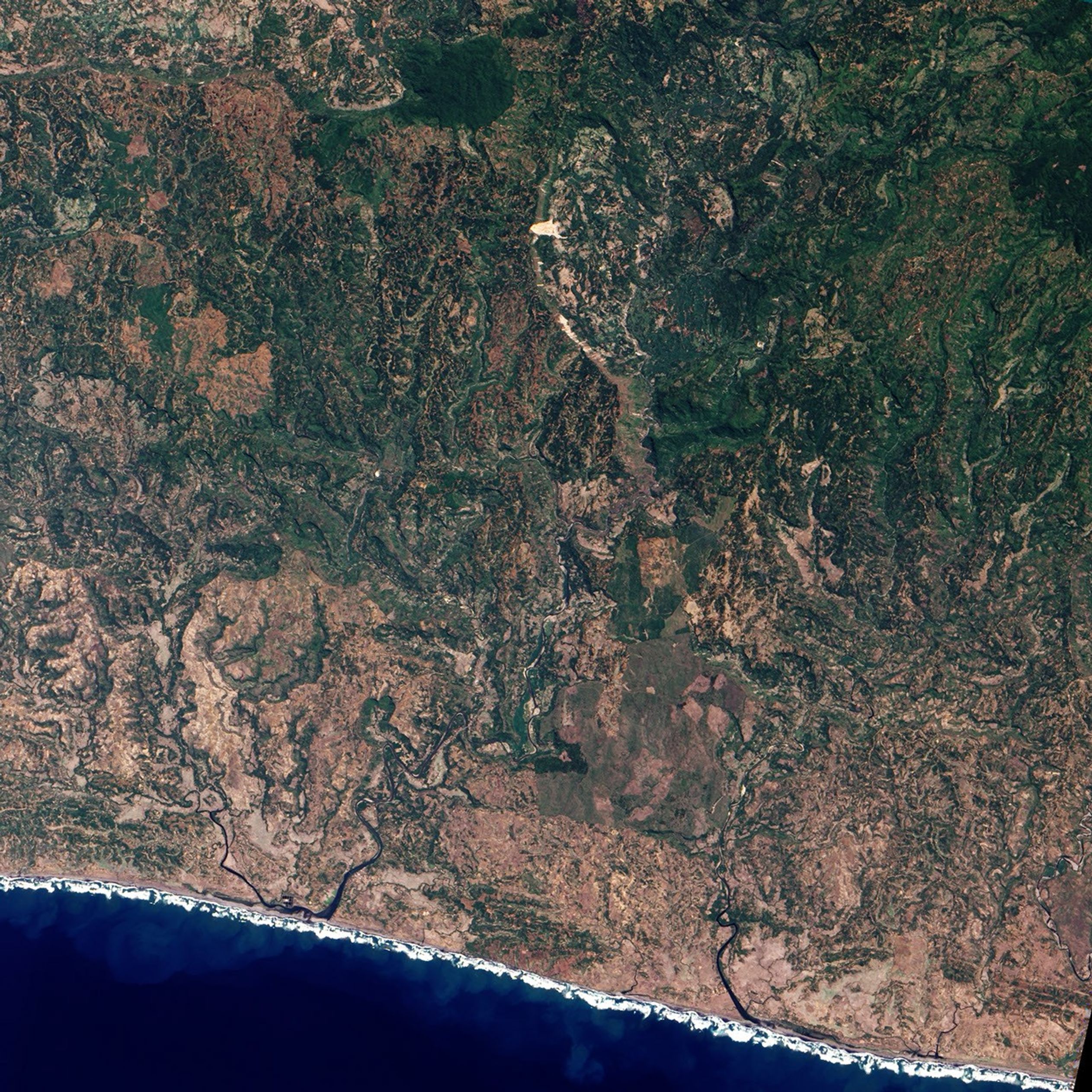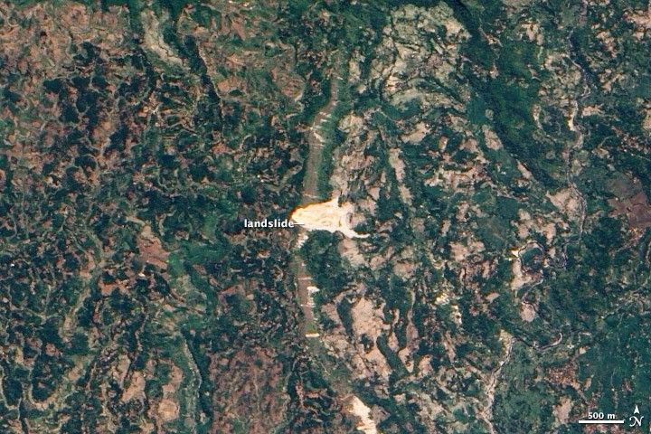
A massive landslide partially buried the Indonesian village of Cikangkareng on September 2, 2009. Located in Cianjur province, the landslide was triggered by a strong (magnitude 7.0) earthquake that occurred 56 kilometers (35 miles) away off the coast of Java. According to the World Health Organization, there were 30 deaths and an additional 27 people missing in Cianjur province as of September 18, 2009. Of the 1,424 people who were injured in the province, 324 suffered major injuries.
This natural-color image was acquired by the Advanced Land Imager (ALI) aboard the Earth Observing-1 (EO-1) satellite on September 27, 2009. The bright exposed soil and rock of the landslide stands out clearly from the dark green vegetation of the surrounding landscape.
Links
- The Cikangkareng village landslide, Indonesia
- Earthquake in West Java, Indonesia (high-resolution satellite image)
References & Resources
- Associated Press. (2009, September 4). Indonesian quake toll at 63, dozens still missing. Accessed September 29, 2009.
- USGS. (2009, September 2). Magnitude 7.0 - Java, Indonesia. Accessed September 29, 2009.
- World Health Organization. (2009, September 18). Earthquake in Tasikmalaya, West Java Province, Republic of Indonesia. Published on ReliefWeb. Accessed September 29, 2009.
NASA image by Jesse Allen and Robert Simmon, using EO-1 ALI data provided courtesy of the NASA EO-1 team. Caption by Robert Simmon.