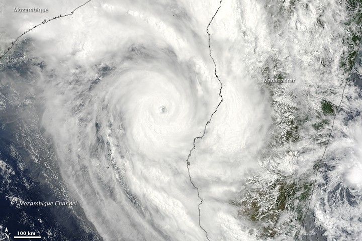
Madagascar was plagued by two tropical cyclones in mid-January 2009. Cyclone Eric brushed the northeast coast on January 19, killing at least one person and leaving nearly a thousand homeless, according to news reports. Two days later, Cyclone Fanele made landfall on the southwest coast, bringing winds of nearly 210 kilometers per hour (130 miles per hour) and heavy rains.
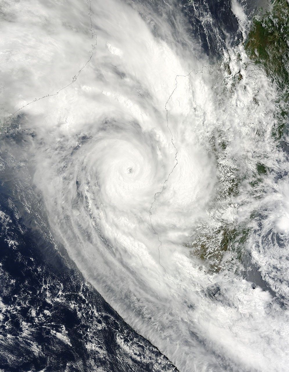
This natural-color image from the Moderate Resolution Imaging Spectroradiometer (MODIS) on NASA’s Terra satellite shows Fanele approaching the western coast of the island on January 20. The storm nearly fills the Mozambique Channel; the disk of clouds in the core of the storm is about 200 kilometers (124 miles) wide. The bright tops and strong shadows in the bands of clouds feeding into the storm from the north and south suggest strong thunderstorms.
The high-resolution image provided above is at MODIS’ full spatial resolution (level of detail) of 250 meters per pixel. The MODIS Rapid Response System provides this image at additional resolutions.
References & Resources
- AP. (2009, January 21). Cyclone Fanele hits west coast of Madagascar. International Herald Tribune Website.
NASA image by Jeff Schmaltz, MODIS Rapid Response Team, Goddard Space Flight Center. Caption by Rebecca Lindsey.