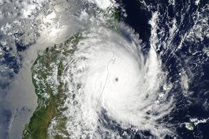
Tropical Cyclone Gael brushed the islands of Mauritius and Reunion on its westward trek through the southern Indian Ocean in early February 2009. On February 6, the storm appeared to be nearing landfall on Madagascar, but it eventually curved northeastward away from the island. This image from the Moderate Resolution Imaging Spectroradiometer (MODIS) on NASA’s Terra satellite shows the storm that day, the cloud-filled eye poised just offshore.
The high-resolution image provided above is at MODIS’ full spatial resolution (level of detail) of 250 meters per pixel. The MODIS Rapid Response System provides this image at additional resolutions.
References & Resources
NASA image by Jeff Schmaltz, MODIS Rapid Response Team, Goddard Space Flight Center. Caption by Rebecca Lindsey.


