


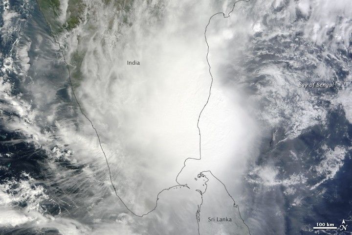
Over the northern Indian Ocean, Jal strengthened to a tropical storm on November 4, and turned into a cyclone two days later. At its peak, the storm had winds of 70 knots (130 kilometers per hour), according to Unisys Weather. Jal weakened to a tropical storm on November 7 and withered to tropical depression the following day.
The Moderate Resolution Imaging Spectroradiometer (MODIS) on NASA’s Terra satellite captured this natural-color image of Jal along the coast of India, immediately north of Sri Lanka, on November 7, 2010. Although the storm lacks a distinct eye, it spans hundreds of kilometers, hiding most of southern India and northern Sri Lanka from the satellite sensor.
References & Resources
- Unisys Weather. (2010, November 8). Cyclone-1 Jal. Accessed November 8, 2010.
NASA image by Jeff Schmaltz, MODIS Rapid Response Team, Goddard Space Flight Center. Caption by Michon Scott.


