
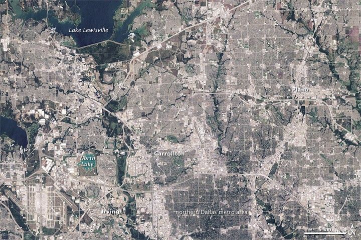

August 31, 1984-August 4, 2009
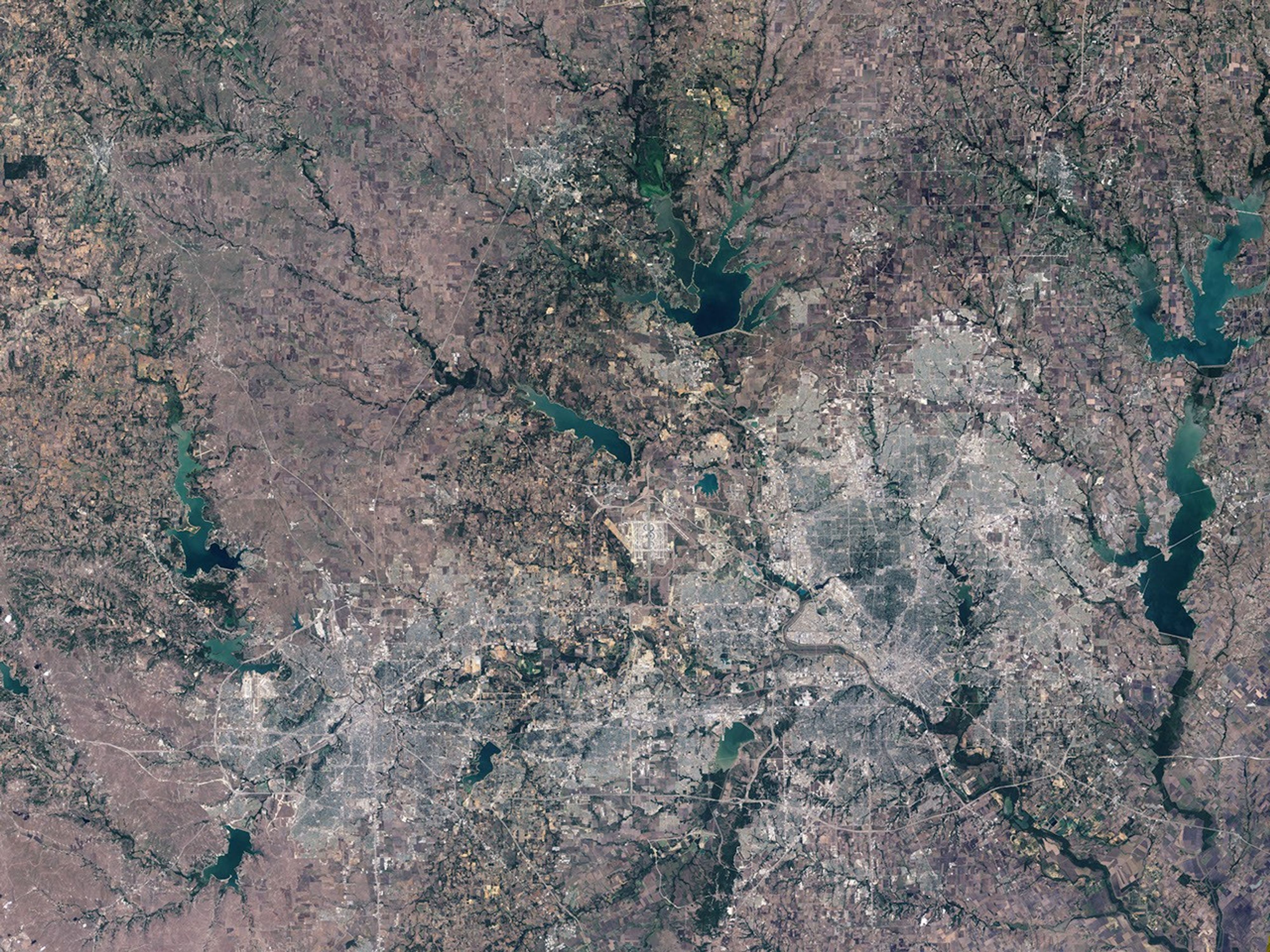
Dallas
Historically, as suburbs of big cities grew, they developed into small versions of their parent city, complete with their own urban core: a downtown business and shopping district surrounded by high-density housing. In the late twentieth century, however, the “boomburb” emerged. Boomburbs are suburbs with populations over 100,000 that are experiencing double-digit growth rates. Lacking a true downtown, their growth is sprawling: strip development along highways backed by large-lot subdivisions.
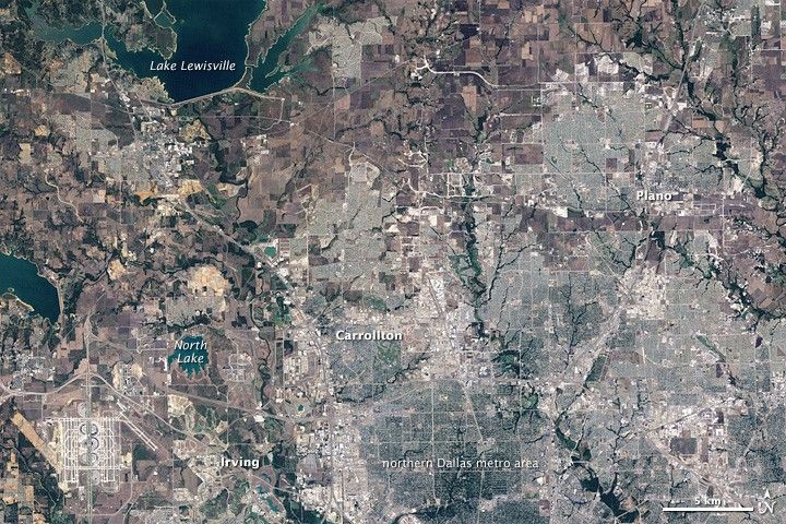
NASA’s Landsat 5 satellite captured these images of three boomburbs—Irving, Carrollton, and Plano—along the northeastern margin of the Dallas Metropolitan area. Between August 31, 1984 (top), and August 4, 2009 (bottom), each of these suburbs grew explosively, filling in the patchwork of agricultural lands to the north and west of Dallas. Irving expanded westward to the Dallas-Fort Worth airport and northward to North Lake. Carrollton grew northwest toward Lake Lewisville, while Plano completely filled the territory between two tree-lined creeks.
According to a 2001 study based on the 2000 Census, Irving had a population of just 2,621 in 1950. Fifty years later, the population had grown to 191,615—an increase of 7,211 percent, making it the fastest-growing boomburb in the country. Carrollton grew from 4,242 residents to 109,576 between 1960 and 2000, while Plano grew from 3,695 to 222,030.
With the exception of Chicago, American boomburbs are a phenomenon of the South and West. Of All American cities, Phoenix, Arizona, is the one with the largest percentage of its metro population (42 percent) living in boomburbs. Phoenix’s fastest-growing boomburb (as of the 2000 census) was Chandler.
References & Resources
- Lang, R.E., Simmons, P.A. (2001). “Boomburbs”: The emergence of large, fast-growing suburban cities in the United States. (PDF file) Fannie Mae Foundation.
NASA Earth Observatory image created by Jesse Allen, using Landsat data provided by the United States Geological Survey. Caption by Michon Scott and Rebecca Lindsey.