


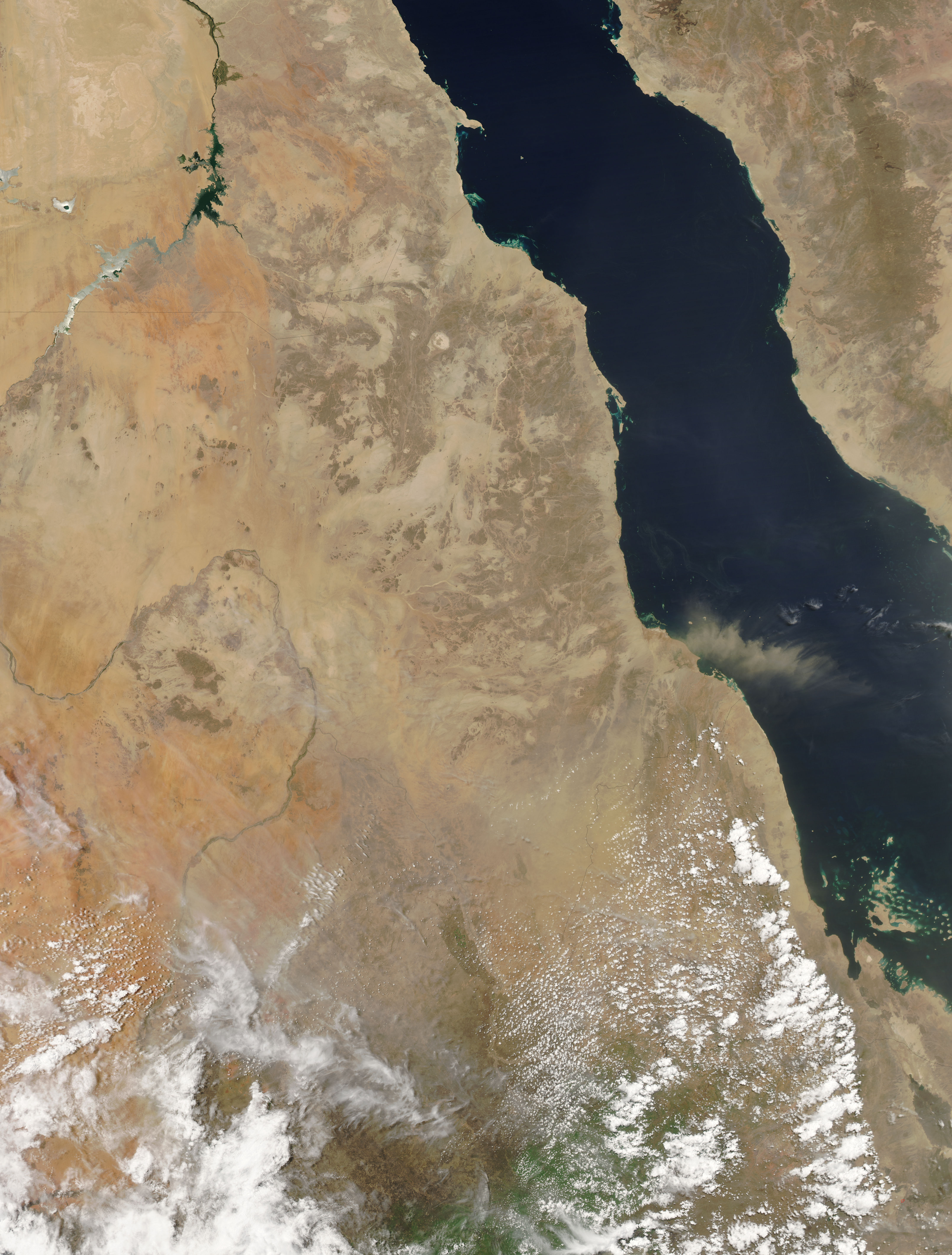
- June 23, 2007 (3.1 MB)
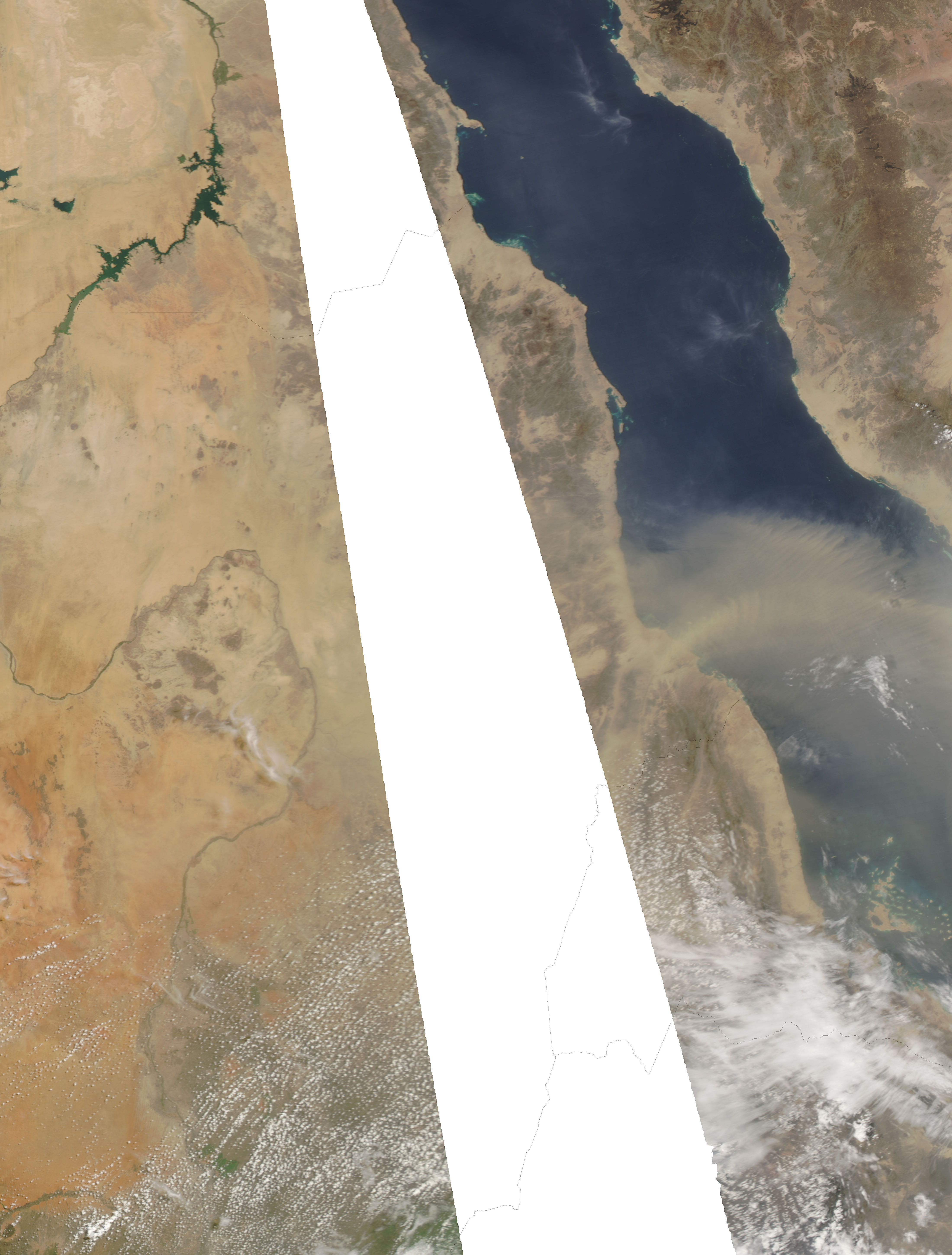
- June 24, 2007 (1.8 MB)
On June 23, 2007, a dust storm began blowing off the coast of Sudan over the Red Sea. By the following day, the dust storm had expanded considerably, stretching across hundreds of kilometers in a southeastern arc. The Moderate Resolution Imaging Spectroradiometer (MODIS) flying on NASA’s Aqua satellite took these pictures on June 23 (top) and June 24 (bottom).
Besides showing the progress of the dust storm, the June 24 image looks generally fuzzier than the image from the previous day. This is probably not due entirely to dust. The image acquired on June 24 was near the edge of the satellite sensor’s field of view. Because it was looking at the Red Sea at an angle that day, the sensor was also looking through a longer path through the atmosphere. Such oblique views can exaggerate the appearance of dust and smog.
References & Resources
NASA image courtesy the MODIS Rapid Response Team at NASA GSFC. The Rapid Response Team provides daily images of this region.


