


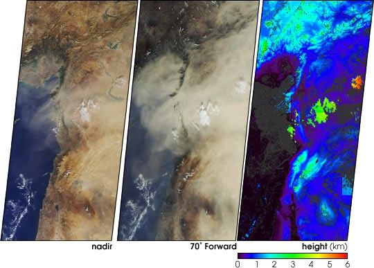
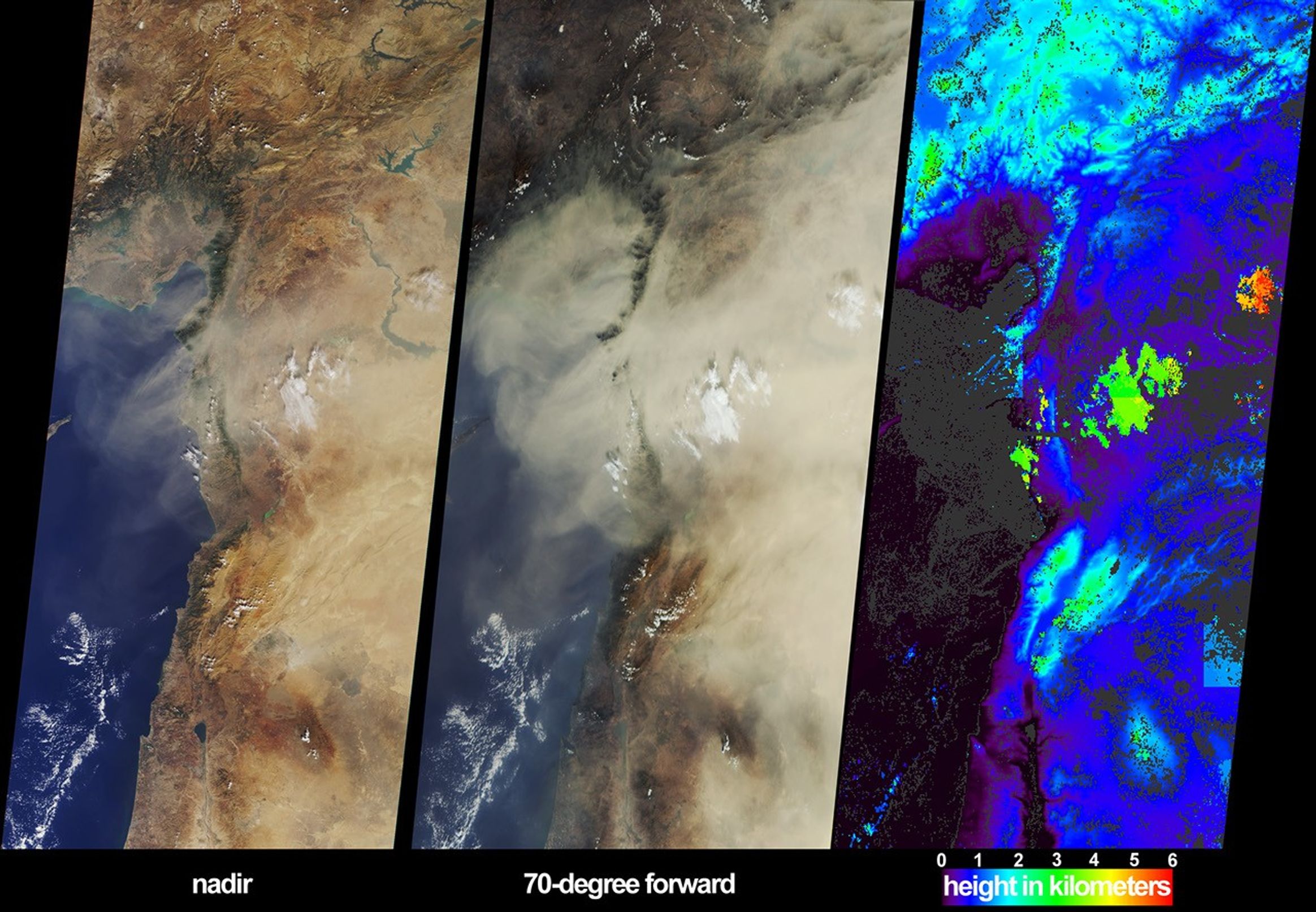
On October 18, 2002, a large dust plume extended across countriesbordering the eastern Mediterranean Sea. Information on the horizontaland vertical extent of the dust are provided by these views from theMulti-angle Imaging SpectroRadiometer (MISR). The left-hand panelportrays the scene as viewed by the instrument’s vertical-viewing(nadir) camera. Here only some of the dust over eastern Syria andsoutheastern Turkey can be discerned. The dust is much more obvious inthe center panel, which is a view from MISR’s most steeplyforward-looking camera. In addition, this perspective makes shadows castby clouds onto the dust layer more apparent, providing a visual cluethat the dust is at a lower altitude than these clouds.
The right-hand panel is an elevation field derived from automatedMISR stereoscopic processing, in which the heights of clouds and certainparts of the dust plume are retrieved. Because the stereoscopic approachmakes use of features within the images that exhibit spatial contrast,heights for much of the dust plume (as well as the ocean surface) couldnot be retrieved, and these areas are shown in dark gray. Clouds withinthe image area are situated between about 2 and 5.5 kilometers above sealevel, and the dust is located below most of the cloud, at heights ofabout 1.5 kilometers or less. When the stereo retrieval determines thata location is at a near-surface altitude, digital terrain elevation dataare displayed instead. The highest clouds in this scene appear as theorange and red areas, and mountainous regions are displayed in lightblue and green.
The Multi-angle Imaging SpectroRadiometer observes the daylit Earthcontinuously from pole to pole, and every 9 days views the entire globebetween 82 degrees north and 82 degrees south latitude. The MISR Browse Image Viewer provides access tolow-resolution true-color versions of these images. These dataproducts were generated from a portion of the imagery acquired duringTerra orbit 15072. The panels cover an area of about 380 kilometers x827 kilometers, and utilize data from blocks 58 to 65 within WorldReference System-2 path 174.
References & Resources
Image courtesy NASA/GSFC/LaRC/JPL, MISR Team. Text by Clare Averill (Acro Service Corporation/Jet Propulsion Laboratory).


