


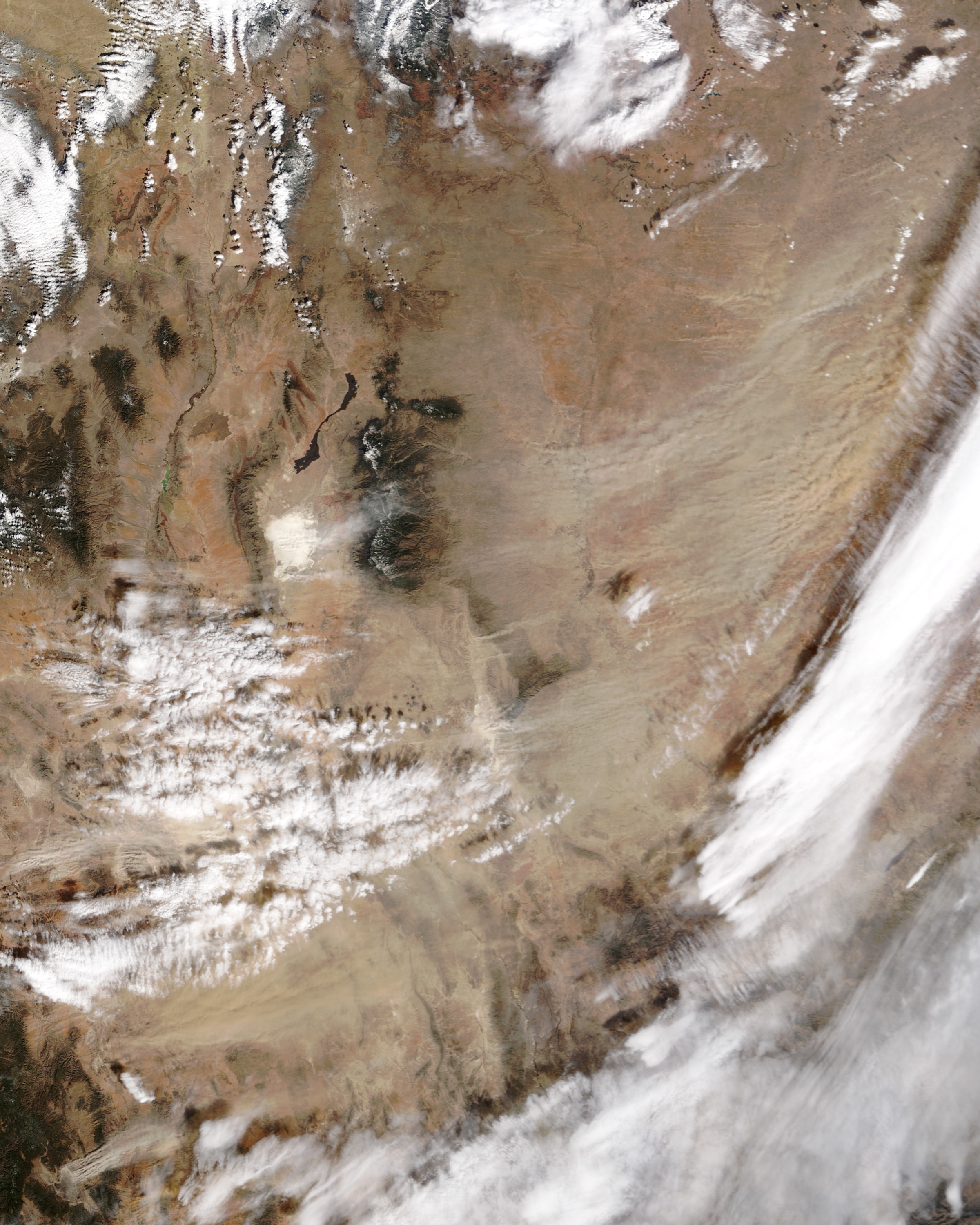
Winds that gusted up to 63 miles per hour (101 kilometers per hour) pushed a thick curtain of dust across Western Texas on February 19, 2004. The storm caused up to 30 car accidents on U.S. Highway 84 near Lubbock, the Associated Press reported, and forced the road to close for several hours. The Moderate Resolution Imaging Spectroradiometer (MODIS) on the Terra satellite provides a broad view of the storm at 12:15 pm, U.S. Central Time. An image taken by the MODIS instrument on the Aqua satellite an hour and a half later shows that the dust had spread over a larger area in Northern Mexico, but had thinned out in northwestern Texas.
The high resolution image is at MODIS’ maximum resolution of 250 meters per pixel. The image is available in additional resolutions.
References & Resources
Image courtesy Jacques Descloitres, MODIS Land Rapid Response Team at NASA GSFC


