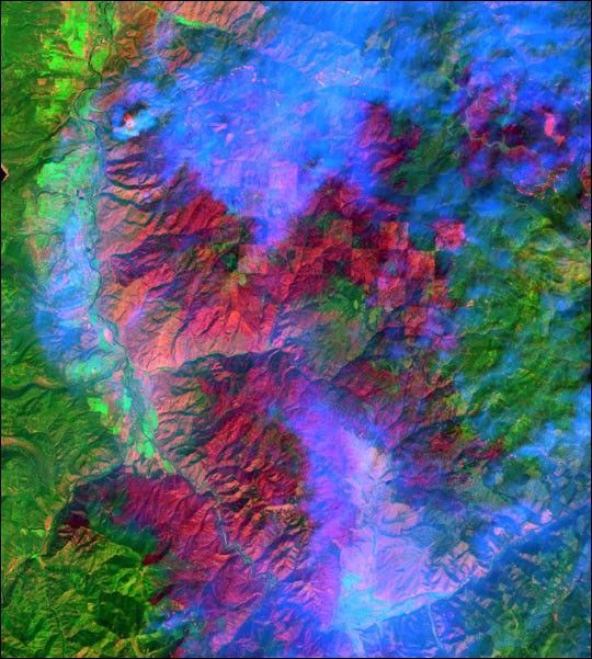
larger Pietersburg Image
larger Blyde River Canyon Image
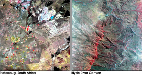
This pair of false-color images shows the first data returned from theMODIS Airborne Simulator (MAS) during the SAFARI 2000 fieldcampaign. The MAS is used to help calibrate the data received fromthe Moderate Resolution Imaging Spectroradiometer (MODIS) aboardNASA’s Terra spacecraft. It is carried aboard the ER-2, a high-altituderesearch aircraft, where it images the Earth’s surface in 50 spectral bands. SAFARI marksthe first time that the MAS and MODIS have aquired data simultaneously.
On the left is Pietersburg South Africa, the current home ofthe SAFARI field campaign. At upper left is the airport the ER-2took off from. The red circles in the bottom half of the imageare fields watered by central pivot irrigation.
The right image is in the area of the Blyde River Canyon. The river cutsacross the escarpment that separates South Africa’s highlands(Highveld) and lowlands (Lowveld).
References & Resources
Images courtesy SAFARI 2000
None