![Request for Information – Potential [Placeholder for Prize]](https://assets.science.nasa.gov/dynamicimage/assets/science/psd/solar/2023/09/s/solarsystem_0.jpg?w=1024)


May 14, 2008
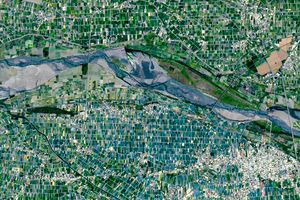
The magnitude 7.9 earthquake that struck China on May 12, 2008, caused extensive damage in the mountainous terrain of Beichuan County. In many cases, landslides in steep valleys formed earthen dams, creating new lakes overnight. This pair of high-resolution, photo-like images from Taiwan’s Formosat-2 satellite on May 14, 2006 (top),and May 14, 2008 (bottom) shows several landslides, a collapsed bridge, and a bridge submerged by a newly formed lake.
View May 14, 2008, image in Google Earth.
View May 14th image in Google Earth
References & Resources
Formosat image © 2008 Dr. Cheng-Chien Liu, National Cheng-Kung University and Dr. An-Ming Wu, National Space Organization, Taiwan. Caption by Robert Simmon.