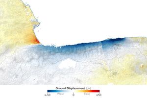





















A strong earthquake struck off the Venezuelan coast on September 12, 2009. The magnitude 6.3 earthquake occurred underneath the Caribbean Sea near the city of Puerto Cabello. According to reports from Reuters some buildings in the Venezuelan countryside were damaged, but there were few injuries.
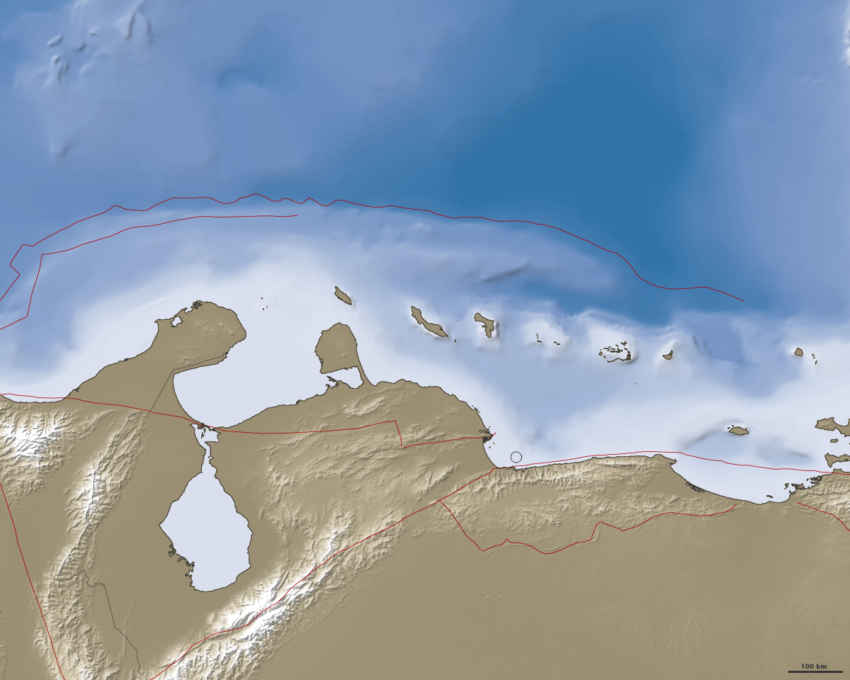
The United States Geological Survey indicated that the earthquake epicenter was in the region of the San Sebastián and El Pilar faults, both of which are seismically active. The fault zone is near the boundary of the South American and Caribbean tectonic plates. The Caribbean plate is moving 20 millimeters (0.8 inches) per year with respect to the South American Plate. Previous earthquakes in the region occurred in 1989 and 1967.
References & Resources
- Reuters. (2009, September 12). Strong earthquake rocks Venezuela. Accessed September 15, 2009.
- USGS. (2009, September 12) Magnitude 6.3 - OFFSHORE CARABOBO, VENEZUELA. Accessed September 15, 2009.
NASA image by Jesse Allen and Robert Simmon, based on data from the Shuttle Radar Topography Mission and the General Bathymetric Chart of the Oceans. Caption by Robert Simmon.