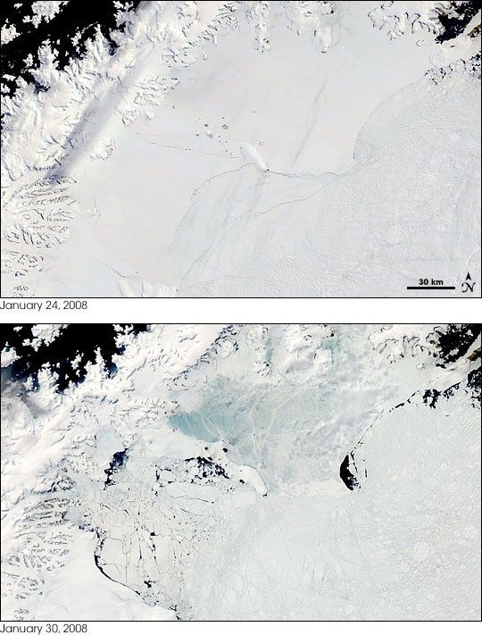
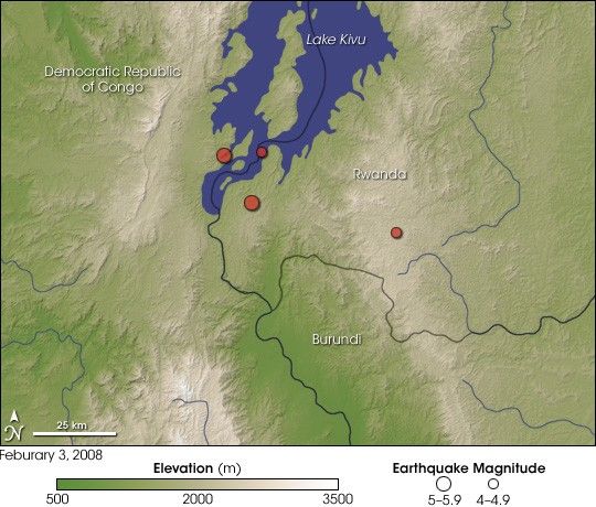
Dozens of people died and hundreds were injured in a series of earthquakes that rattled Democratic Republic of Congo, Rwanda, and Burundi on Sunday, February 3, 2008. The first quake, which had a magnitude of 5.9, occurred at 9:34 a.m. local time (7:34 UTC). Three smaller quakes followed in the next few hours in a west-to-east pattern. According to the U.S. Geological Survey Earthquakes Hazards Program, the quakes occurred at a depth of about 10 kilometers (6.2 miles).
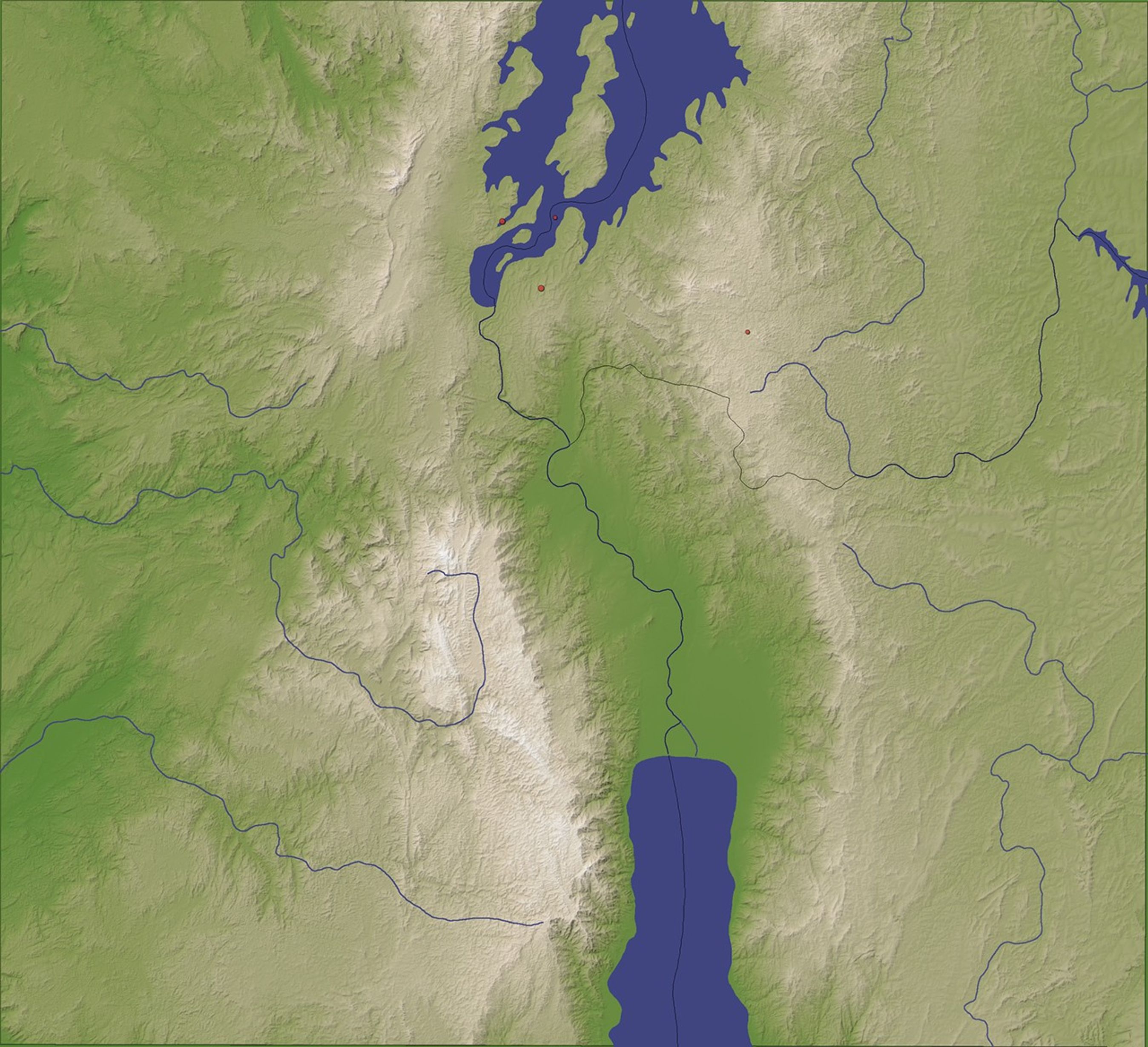
This image shows the epicenters of the four East African earthquakes (red boxes) overlaid on a topographic map of the area. Low elevations appear green, and progressively higher elevations appear in colors from tan to white. Running vertically through the image is a broad, shallow valley lined on either side by rugged hills and plateaus. The first quake occurred near the southwestern shore of Lake Kivu in the Democratic Republic of Congo; two later quakes also struck in the valley. The final quake occurred beneath a nearby ridge line in Rwanda. The map is based on data collected by the Shuttle Radar Topography Mission that flew on the Space Shuttle Endeavour during an 11-day mission in February of 2000.
The valley and the neighboring ridge where the earthquakes occurred is but one small segment of a long crack in the Earth’s crust that stretches from the Middle East, along the Arabian Peninsula, and through East Africa as far south as Mozambique. The feature is known as the Great Rift Valley, and it is being formed as the two tectonic plates carrying Africa are pulling away from each other and from the Arabian plate to the north. As the three plates pull apart, the crust thins, cracks, and settles—sometimes violently. Magma rises to the surface. Even if it does not erupt, the magma puts tremendous pressure on the thinning, fragile crust, creating more fractures. One day, millions of years from now, the spread tectonic plates may allow the Indian Ocean to fill the Rift Valley, turning the Horn of Africa into an island.
References & Resources
- References
- BBC. (2007). Great Lakes hit by deadly quakes. BBC News Website. Accessed February 4, 2008.
- U.S. Geological Survey. (1999).Understanding Plate Motions. Accessed February 4, 2008.
- U.S. Geological Survey Earthquake Hazards Program. (2008). Earthquake list for map of Africa region. Accessed February 4, 2008.
NASA image created by Jesse Allen, using SRTM data provided by the University of Maryland’s Global Land Cover Facility. Caption by Rebecca Lindsey.