January 20, 2020
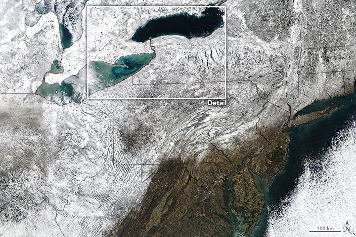
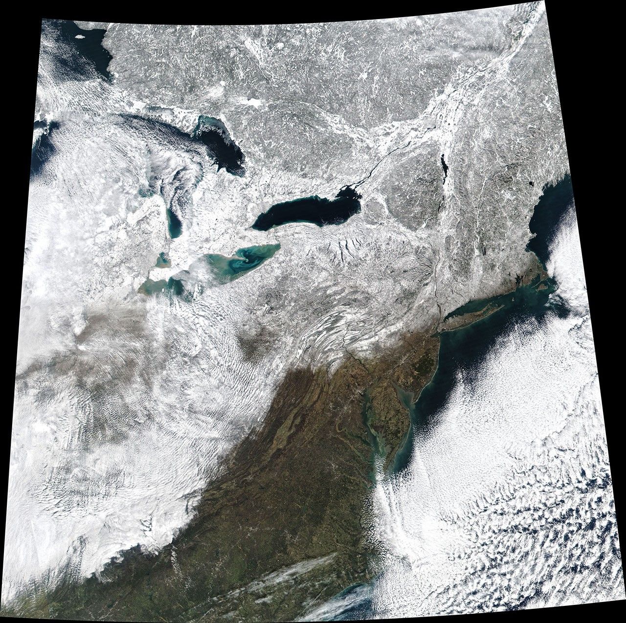
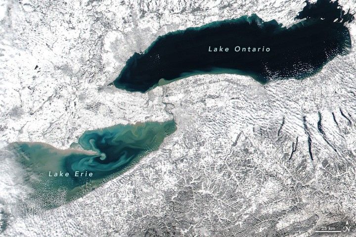
On January 20, 2020, the Visible Infrared Imaging Radiometer Suite (VIIRS) on the Suomi NPP satellite acquired these images of snow blanketing the area around the Great Lakes. The white landscape contrasts with the dark and colorful water, which at the time had very little ice cover.
Notice the colorful swirls in Lake Erie and near the coastline of Lake Ontario. These areas are generally shallow, making it easier for wind-driven waves to stir up sediment from the bottom and bring it near the surface.
References & Resources
- NOAA Great Lakes Environmental Research Laboratory (2020, January 20) Current Ice Cover Conditions. Accessed January 21, 2020.
- NASA Earth Observatory (2019, March 24) A Clear Spring View of the Great Lakes.
- NASA Earth Observatory (2015, December 2) Sediments Aswirl in Lake Erie.
NASA Earth Observatory images by Joshua Stevens, using VIIRS data from NASA EOSDIS/LANCE and GIBS/Worldview and the Suomi National Polar-orbiting Partnership. Text by Kathryn Hansen.