Suggested Searches

1 min read

Edrengiyn Nuruu, Mongolia


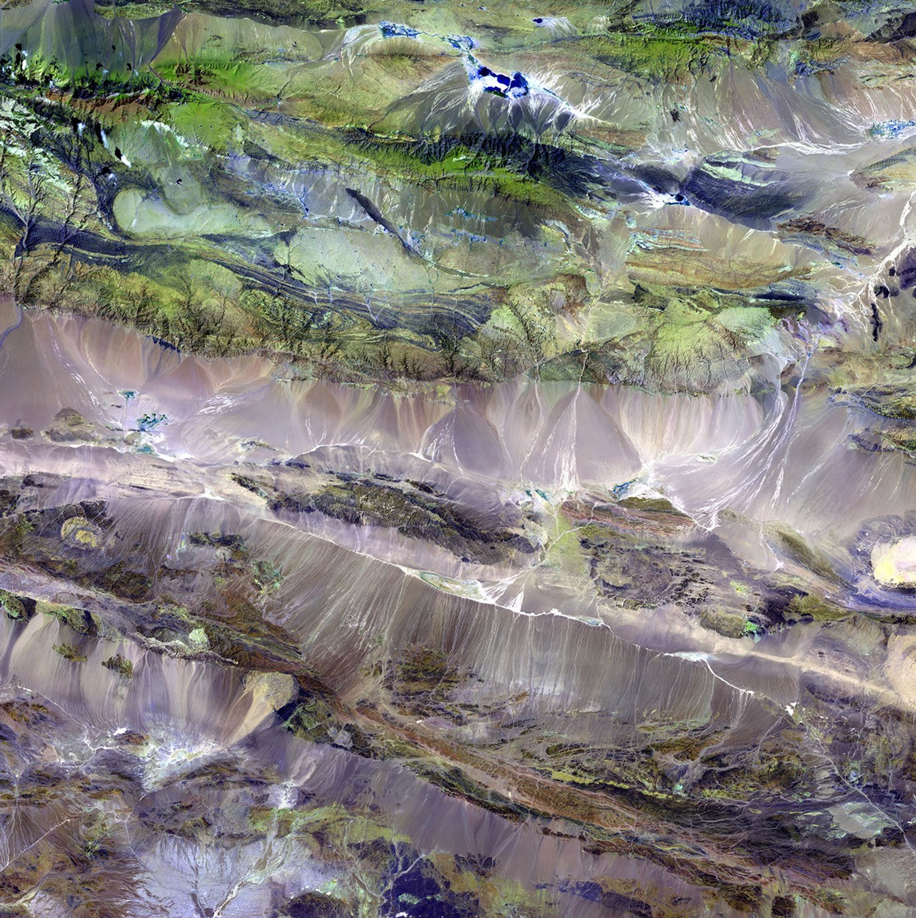
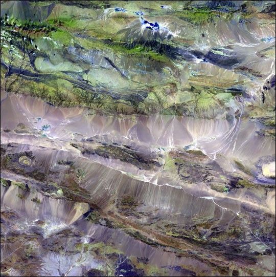
The Edrengiyn Nuruu forms a transition zone between the Mongolian steppes to the north and thearid deserts of northern China to the south.

This image was acquired byLandsat 7's Enhanced Thematic Mapper plus(ETM+) sensor on August 13, 1999. This is a false-color composite image made using shortwaveinfrared, infrared, and green wavelengths.

References & Resources

Image provided by the USGS EROS Data Center Satellite Systems Branch. This image is part of the ongoing Landsat Earth as Art series.

You may also be interested in:

Stay up-to-date with the latest content from NASA as we explore the universe and discover more about our home planet.

Antarctic Iceberg Downsizes
3 min read

Iceberg A-23A continued to lose sizable pieces of ice during the 2025 austral winter, but it remained the planet’s largest…

Article
Color Along the Anadyr
2 min read

Across the northeastern Siberian tundra, summer greens shift to vibrant reds, yellows, and browns as temperatures drop and days shorten.

Article
Reaching the Precipice in Angola 
3 min read

The Huíla plateau, bounded by dramatic cliffs and chasms, stands above the arid coastal plains in the country’s southwest.

Article