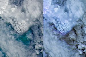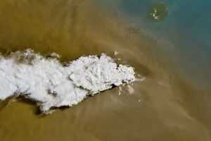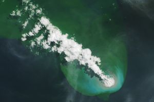






















Although tiny, the volcanic island of Anatahan has a long reach. Since its first recorded eruption in May 2003, the twin-volcano island has been erupting off and on, spitting out clouds of volcanic ash and gases that spread over a broad area of the Pacific Ocean. Since a large eruption on April 5, 2005 (see additional images in this series), Anatahan has been smoldering. These two images from the Moderate Resolution Imaging Spectroradiometer (MODIS) on NASaâs Aqua satellite show a long, thin plume of ash and volcanic gases streaming nearly due west from Anatahan. Although the plume is thicker on April 10, it is still obvious on the April 11 image. In both images, the plume spreads out and mixes with clouds at lower left. The high-resolution image provided via the link above includes 250-meter-resolution versions of these two images, as well as an image from April 9.
References & Resources
Image courtesy the MODIS Rapid Response Team, NASA-Goddard Space Flight Center