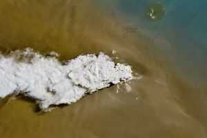
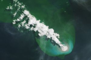
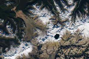
On May 13, 2010, a puffball of volcanic ash briefly hovered over Eyjafjallajökull Volcano, as the Advanced Land Imager (ALI) on NASA’s Earth Observing-1 (EO-1) satellite passed overhead and captured this natural-color image. Near the upper left corner of this image, a round, slightly elongated ash plume appears. The puffball appears to tower over another ash plume that fans out toward the southeast.
According to May 13 bulletin from the Icelandic Meteorological Office, winds were calm over the Eyjafjallajökull eruption site, but air was unstable to the south. The difference in air stability would explain the difference in ash plumes in this image. The satellite likely passed overhead shortly after a fresh burst of activity from the volcano, before winds had a chance to disperse the latest plume of ash.
On May 13, 2010, the Icelandic Meteorological Office reported that Eyjafjallajökull’s eruption plume mostly reached a height of 6 kilometers (20,000 feet), occasionally soaring up to 9 kilometers (30,000 feet). The ash plume headed toward the southeast.
References & Resources
- Iceland Meteorological Office and Institute of Earth Sciences, University of Iceland. (2010, May 13). Eruption in Eyjafjallajökull status report: 16:00 GMT, 13 May 2010. Accessed May 17, 2010.
NASA image by Robert Simmon, using ALI data from the EO-1 team. Caption by Michon Scott.