


More than a month after being ignited by lightning, the West Mims fire continues to burn along the Florida-Georgia border. On May 8, 2017, the Enhanced Thematic Mapper Plus (ETM+) on the Landsat 7 satellite captured this image of the wildfire, most of which has burned within the Okefenokee National Wildlife Refuge.
The composite image combines natural color and infrared data. The brown burn scar is clearly visible amid the refuge’s green vegetation. Thermal data show the locations of active fires. Most actively burning areas in this image appear outside of the refuge, near Highway 94 and west of Saint George, Georgia.
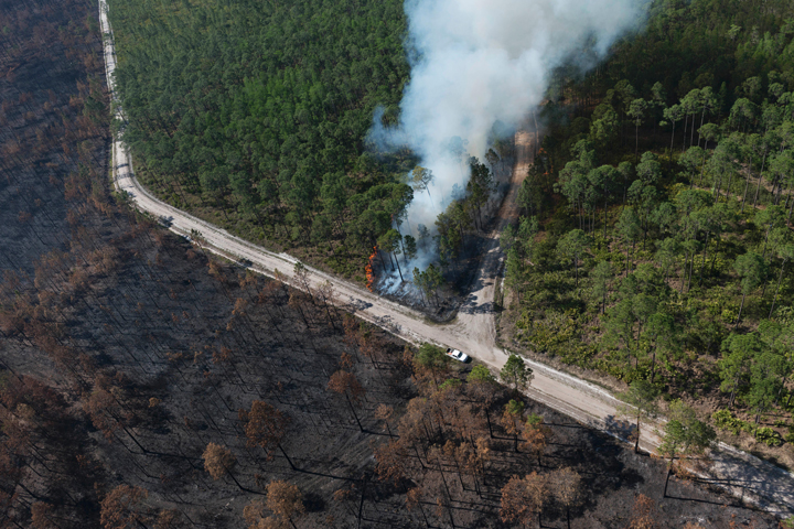
According to InciWeb, the burned area grew from 100,500 acres (155 square miles) on May 2 to more than 133,700 acres (209 square miles) on May 8. A closer view of the burn scar is visible in the first photograph below, acquired from aircraft on April 25, 2017.
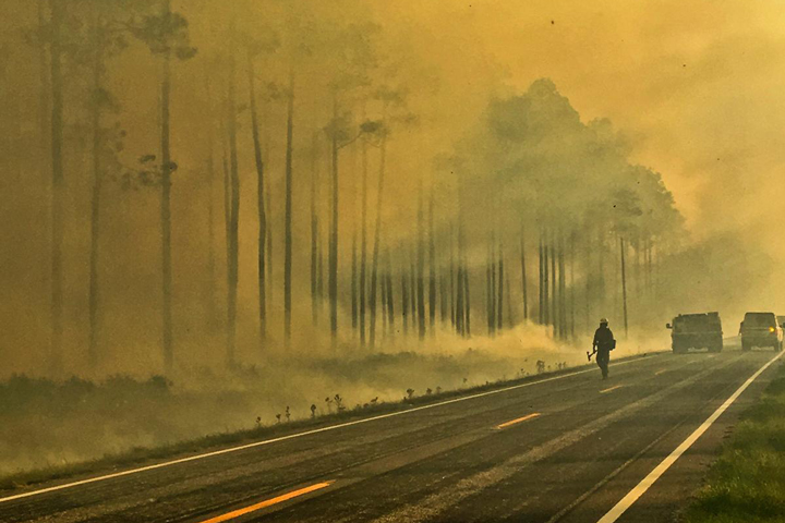
The second photograph shows smoke in the wildlife refuge on May 2. On that day, smoke was moving southeast and had just reached Jacksonville, Florida. Air quality was rated “moderate” for the city, which means that the air was generally acceptable but could pose a concern for a limited number people, such as those who are sensitive to ozone. The strength and direction of winds has shifted over the fire’s lifetime, changing the air quality impacts in populated areas.
References & Resources
- InciWeb (2017, May 9) West Mims Fire Accessed May 9, 2017.
NASA Earth Observatory image by Joshua Stevens, using Landsat data from the U.S. Geological Survey . Photographs courtesy of InciWeb. Story by Kathryn Hansen.


