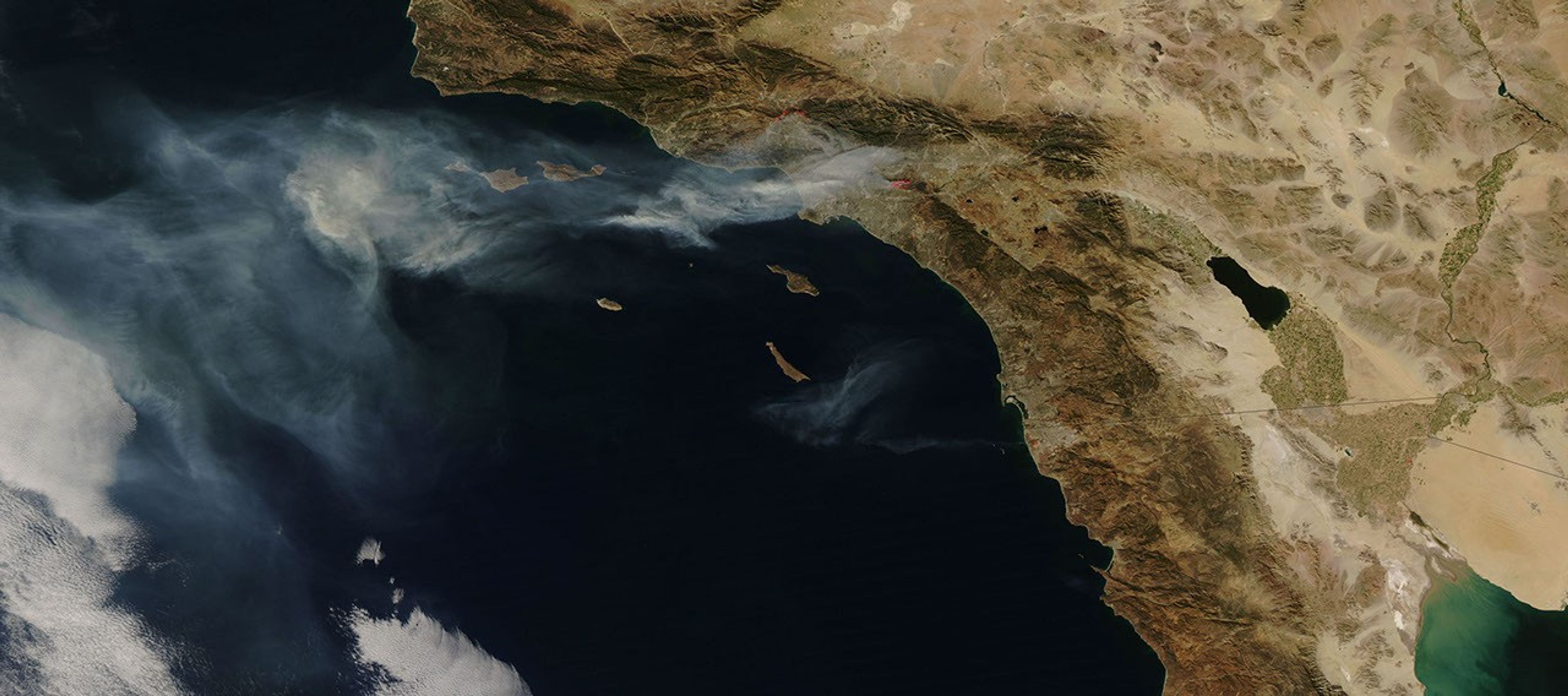
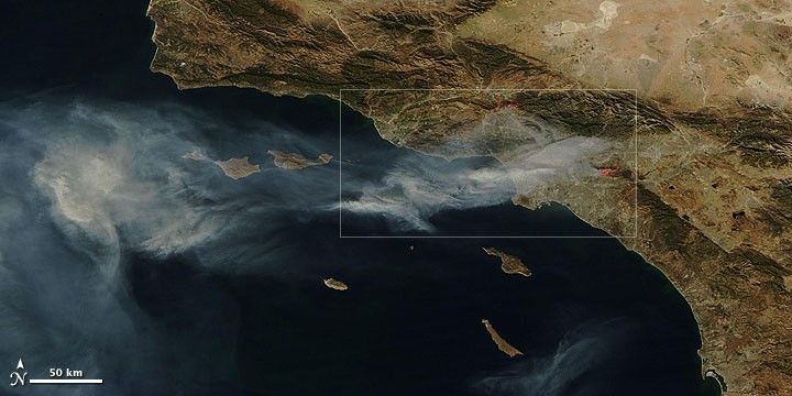
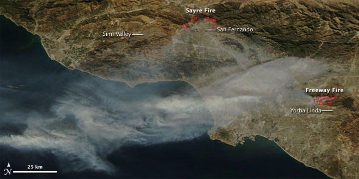
Gusty winds drove wildfires into southern California cities in mid-November 2008. This image from the Moderate Resolution Imaging Spectroradiometer (MODIS) on NASA’s Aqua satellite shows the Los Angeles metropolitan area on November 16, 2008. Places where the sensor detected active fires are outlined in red. The top image shows smoke spreading far to the west over the Pacific Ocean. (The smoke was even thicker when the MODIS sensor on NASA’s Terra satellite captured an image earlier in the day.) According to the National Interagency Fire Center daily situation report from November 16, the Sayre Fire north of San Fernando was 8,000 acres and 20 percent contained. The Freeway Fire was 5,800 acres and 5 percent contained. The following day, winds died down, and the fires’ ferocity ebbed. Evacuees were allowed to return to their communities.
References & Resources
NASA image courtesy the MODIS Rapid Response Team. Caption by Rebecca Lindsey.