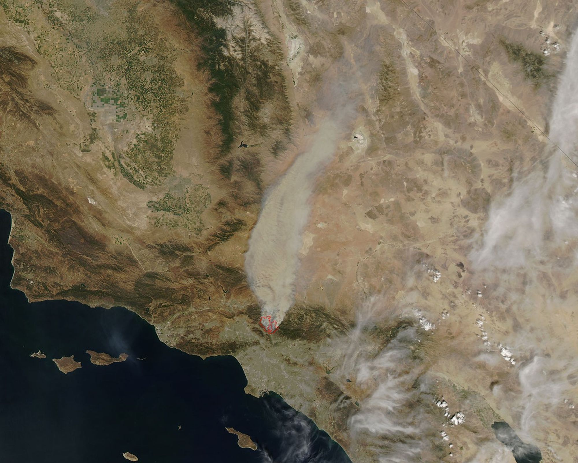
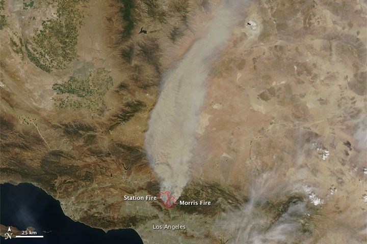
Wildfires burned north of the city of Los Angeles County on August 29, 2009. The Moderate Resolution Imaging Spectroradiometer (MODIS) on NASA’s Aqua satellite captured this true-color image around 2:20 p.m. local time (21:20 UTC) the same day. Red outlines show hotspots where MODIS detected high surface temperatures associated with fires, and the hotspots roughly correspond with fires described by California’s Department of Forestry and Fire Protection. A department bulletin, issued August 30, 2009, stated that the Station fire was 5 percent contained, affected 35,200 acres, had destroyed 3 residences, and threatened 10,000 more. As of August 30, the Morris fire, affecting 2,168 acres, was 95 percent contained.
Smoke from both fires blows northward from the flames, away from the metropolis of Los Angeles, and east of the deep green agricultural fields of California’s Central Valley.
References & Resources
NASA image by Jeff Schmaltz, MODIS Rapid Response Team, Goddard Space Flight Center. The Rapid Response Team provides daily images of this area. Caption by Michon Scott.